Map of Cleveland
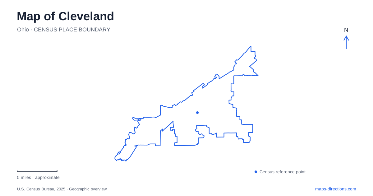
Street tiles load from OpenStreetMap when opened. The blue line shows the 2025 Census boundary.
- State
- Ohio
- Population · July 2025
- 363,608
- Land area
- 77.7 sq mi
- Water area
- 4.7 sq mi
Cleveland's geography has two powerful edges: Lake Erie to the north and the winding Cuyahoga River valley through the urban center. The lake creates a broad horizon, while the river cuts between higher ground occupied by neighborhoods and downtown streets. Bridges, industrial sites, market buildings, and cultural campuses reflect these different landforms. Euclid Avenue supplies another major line, connecting the central business district with institutions farther east.
The Flats sit below the city
The Flats occupy the Cuyahoga's floodplain, where the river winds through a valley roughly half a mile wide. Their name describes this low ground between the higher plateaus. That topographic relationship explains why a street on a high bridge may pass far above a road or railway visible below.
The opening of the Ohio & Erie Canal in 1827 encouraged lake shipping, and the valley provided space for docks and warehouses. Railroads later used its broad floor for freight handling. Ironworks, foundries, lumberyards, shipyards, mills, and other industries developed around these transport advantages.
The same landscape complicated connections across Cleveland. High-level bridges joined the upper street networks, while lower movable spans accommodated river and rail traffic. The Hope Memorial, Veterans Memorial, and Main Avenue bridges belong to the high-crossing system. Their approaches and elevations are as important to the map as the distance between their endpoints.
The valley still combines several uses. Industrial activity, housing, restaurants, and recreation occupy different stretches of the river. Its tight bends and layered infrastructure give the Flats a very different pattern from the straighter streets above.
Ohio City's market anchors a west-side neighborhood
The West Side Market stands at 1979 West 25th Street in Ohio City. Opened in 1912, it replaced the earlier Pearl Street Market on the opposite corner, continuing a public-market tradition dating to the nineteenth century.
The market's clock tower rises 137 feet, while the main hall has a vaulted tile ceiling. These features make it both a working food market and a prominent architectural landmark. Its original arrangement included indoor stalls for meat, dairy, bread, groceries, and specialty foods, with produce vendors outside before the covered produce aisles were added.
This history links the building to the growing immigrant population that used the city's public markets. On a Cleveland map, the market marks a neighborhood commercial center with its own continuity, rather than a waterfront attraction placed beside the Cuyahoga. The nearby river valley explains the broader setting; West 25th Street locates the daily commercial activity.
Lakefront paths cross former barriers
Edgewater Park forms the westernmost part of Lakefront Reservation. Its upper and lower areas offer different relationships to the shore, with the beach in the lower park. Farther toward the river mouth, Wendy Park occupies Whiskey Island.
The Whiskey Island Trail connects Edgewater with Wendy Park through a 1.2-mile all-purpose route. Wendy Park Bridge crosses the Norfolk Southern railroad tracks, providing another important link within the lakefront network. The crossing's purpose is clear on a detailed map: railway infrastructure occupies land between places that otherwise seem close together.
Connections also extend toward the Lake Link Trail, Red Line Greenway, and Towpath Trail. These routes bring the lakefront into a broader recreational system rather than leaving it as a series of isolated shoreline parks. A map of Cleveland that includes these paths reveals a network distinct from the roads serving the same area.
East of downtown, the reservation includes the East 55th Street marina and East 72nd fishing area. The north coast therefore contains several public access settings, from beaches and grassy parks to marinas and fishing walls. Their different forms reflect the mix of recreation and working infrastructure along Lake Erie.
Euclid Avenue leads to a cultural campus
The HealthLine bus rapid transit route follows the Euclid Avenue corridor from Public Square toward Louis Stokes Station at Windermere. University Circle lies along this broader connection, with Wade Oval serving as its central park.
Wade Oval sits between Wade Oval Drive and East Boulevard. Nearby, the Fine Arts Garden and Wade Lagoon occupy land between East Boulevard and Martin Luther King Jr. Boulevard, north of Euclid Avenue. These green spaces organize a district of museums and other institutions around more than a single commercial street.
The district's landscape also carries a philanthropic history: Jeptha Wade donated land for a park and art museum. That origin helps explain the relationship between cultural buildings and open grounds. It gives eastern Cleveland a different organizing pattern from the market blocks, river industries, and lakefront recreation areas, while Euclid Avenue connects this institutional setting back toward downtown.
Map and statistics: U.S. Census Bureau, 2025 Gazetteer, January 2025 generalized place boundaries and Vintage 2025 population estimates. Local references: Case Western Reserve University; West Side Market; Cleveland Metroparks; Greater Cleveland Regional Transit Authority; University Circle Inc. Article prepared by Maps & Directions.