Map of Clermont
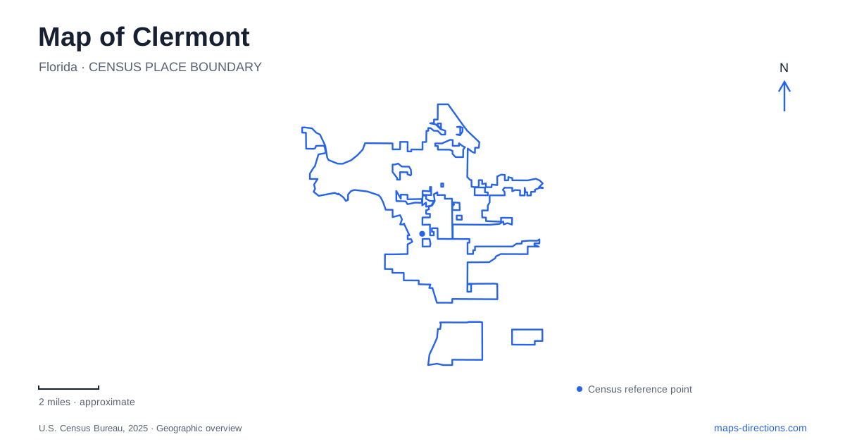
Street tiles load from OpenStreetMap when opened. The blue line shows the 2025 Census boundary.
- State
- Florida
- Population · July 2025
- 52,812
- Land area
- 19.2 sq mi
- Water area
- 1.1 sq mi
Clermont's downtown faces the southern shore of Lake Minneola, where parks, a trail, and historic buildings create a connected area for exploration. The surrounding hills give the wider landscape a character that differs from the flat Florida terrain many visitors expect. Begin with the lake as an orientation feature, then distinguish the downtown waterfront from the recreation areas farther west and the citrus-era landmarks elsewhere in the city.
A sequence along Lake Minneola
Waterfront Park occupies the lake edge between East Avenue and Eighth Street. The trail through the park links the shoreline experience with the surrounding recreation network, while Champions Splash Park provides a separate family activity within the grounds. This is a useful place to understand how the lake and downtown relate: streets extend inland from the waterfront rather than forming a single road circling every public attraction.
The boat ramp is just east of the park at 140 East Avenue. Its parking is designated for vehicles with trailers, so it should not be treated as general parking for a shoreline stroll. Separating the ramp from the park on a map helps boaters and pedestrians choose an appropriate starting point without assuming that all lake access serves the same purpose.
Victory Pointe does more than frame a view
At 938 Victory Way, immediately west of the Historic Village, Victory Pointe combines public open space with stormwater treatment. Completed in 2018, the project filters runoff before it reaches Lake Minneola. Its paths, educational signs, and observation tower make that infrastructure visible as part of a park experience.
This dual function is particularly useful for interpreting Clermont's waterfront. The wetland landscape is not merely decorative water beside the lake; it has a role in managing runoff from developed land. Looking between the downtown blocks and the treatment area helps explain how urban activity and lake protection meet at the shoreline. It also gives a walk here a different focus from the splash park or boat ramp farther east.
Historic buildings gathered beside the lake
The Historic Village is an open-air museum at 490 West Avenue. Its preserved buildings and exhibits introduce local life from the late nineteenth century into the twentieth century. Because the collection includes relocated structures, it is best understood as a place of preservation and interpretation rather than an untouched cluster in which every building has always occupied its present lot.
The Townsend House offers a specific example. Built around 1895, it was moved to the village in 2002. James and Sallie Townsend arrived from Georgia in 1887 and helped establish educational, religious, and health services for the Black community. Their house connects the built landscape with people whose work shaped Clermont beyond its better-known citrus identity. The museum setting allows that story to be considered alongside the broader waterfront development.
Trails and the western recreation landscape
The South Lake Trail gives walkers and cyclists a way to experience the city's hills and lakes beyond an individual park. An Eighth Street trailhead is listed at West Minneola Avenue, offering another downtown reference point. The trail network also reaches other community destinations, including the National Training Center area and connections toward educational facilities.
Lake Hiawatha Preserve is a distinct stop at 450 12th Street, west of the roundabout. Its grounds include dog parks, a playground, picnic facilities, and the Champions Pointe Disc Golf Course. Plotting the preserve separately from Waterfront Park makes the activity choice clearer: one visit might center on the downtown lakeshore, while another is built around the preserve's larger recreation grounds. A trail outing can connect places, but the desired branch and distance still determine the route.
The view from the citrus era
The Citrus Tower opened in 1956 and rose 226 feet to provide views across a landscape closely associated with citrus growing. Its significance lies partly in that original purpose. Looking over present-day development from a landmark built to showcase groves reveals how the land around Clermont has changed, even where the hills themselves remain the underlying framework.
A useful local map therefore brings together several different readings of the landscape: the working lake access at East Avenue, stormwater treatment at Victory Pointe, community history in the village, and the elevated perspective represented by the tower. These places are connected by their relationship to land and water, rather than by offering identical visitor experiences. Keeping those differences visible makes a Clermont itinerary more informative and gives each stop a clear reason to be included.
Map and statistics: U.S. Census Bureau, 2025 Gazetteer, January 2025 generalized place boundaries and Vintage 2025 population estimates. Local references: City of Clermont; South Lake County Historical Society; Lake County Tourism. Article prepared by Maps & Directions.