Map of Clearwater
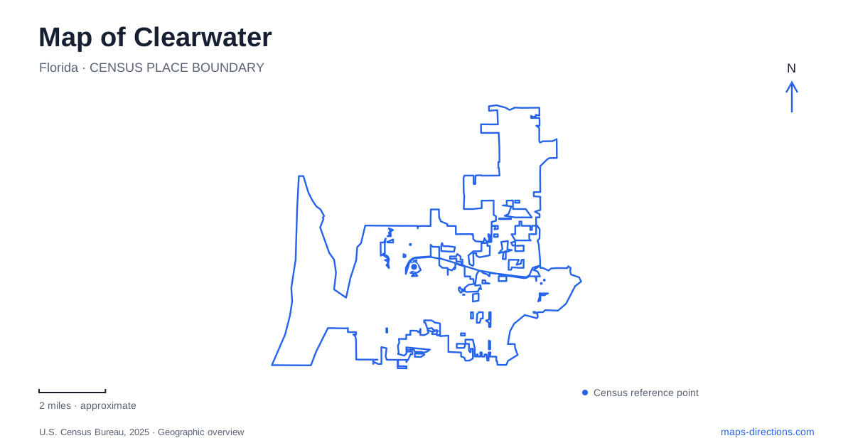
Street tiles load from OpenStreetMap when opened. The blue line shows the 2025 Census boundary.
- State
- Florida
- Population · July 2025
- 114,364
- Land area
- 26.2 sq mi
- Water area
- 12.1 sq mi
Clearwater has two waterfront settings that serve different purposes. Downtown faces the Intracoastal Waterway, with Coachman Park and the harbor marina beside the central streets. The beach occupies a barrier island farther west, reached from the mainland by Memorial Causeway. South of that island, a bridge across the pass leads to Sand Key. Keeping these relationships visible gives the map a useful structure before adding individual hotels, parks, or entertainment venues.
Coachman Park belongs to the mainland downtown
Coachman Park is at 300 Cleveland Street, next to the main library and harbor marina. The nineteen-acre park combines open lawns, paved paths, a playground, a splash pad, and the BayCare Sound music venue. Its Civic Gateway overlooks the grounds and Memorial Causeway Bridge, making the entrance itself a useful place to understand the surrounding waterfront.
The park's Cleveland Street address connects a large outdoor destination with the downtown street network. Osceola Avenue is an important local approach, while Gulf to Bay Boulevard becomes Court Street on the way into the center. These street relationships explain how an east-west trip across the mainland can end at a waterfront park without continuing over the causeway to the beach.
For a Clearwater outing based around a concert or the downtown park, the marina parking area is reached from Pierce Street beneath the causeway bridge. The Garden Avenue Garage offers another location within the downtown blocks. These are different approaches to the same general district, and their positions help explain the short walking connections between streets, waterfront facilities, and the park entrance.
Memorial Causeway leads to the beach district
The barrier island is connected to the mainland by Memorial Causeway. At the beach end, the roundabout provides a useful reference for locating public parking and the surrounding visitor district. Pier 60 lies southwest of the roundabout, while lots on Rockaway Street, Avalon Street, and Bay Esplanade serve areas farther north.
The beach's linear shape creates a different walking experience from the mainland park. The Beach Walk promenade follows the shoreline, giving access to the sand along its route. A beach outing can therefore be organized north or south of the roundabout, with a particular access area as the starting point. That is more informative than treating the full length of the island as one arrival location.
Clearwater's mainland and island are closely connected, but the water crossing remains a meaningful part of a journey. A plan that includes downtown and the beach is combining two districts, each with its own streets and facilities. The causeway is the link that makes that sequence possible, rather than simply another road within one uninterrupted neighborhood.
Sand Key is both a park name and an island name
Sand Key Park covers ninety-five acres with distinct beach and park areas. It sits south of the pass, giving visitors another coastal destination beyond the main beach district. The county's description of Sand Key as a barrier island extends much farther south, all the way to John's Pass in Madeira Beach. The park is therefore one specific place on a much longer geographical feature.
This distinction matters when reading regional accommodation or beach descriptions. A property somewhere on Sand Key is not necessarily beside the county park. On a Clearwater map, locate the park itself before estimating how a stop there relates to Pier 60 or downtown. The pass and bridge supply the clearest geographical separation between the two nearby beach settings.
Inland parks reveal another side of the city
Moccasin Lake Nature Park is at 2750 Park Trail Lane. Its forested grounds include a nature trail, a fish and turtle pond, a pollinator garden, bird blinds, and environmental education facilities. The experience centers on habitat and interpretation rather than on the open shoreline. It offers a useful change of subject for visitors who want to understand more than the coastal resort landscape.
The Ream Wilson Trail corridor connects a series of parks and recreation areas across the city. Published access locations include the Long Center, Coachman Ridge Park, Northeast Coachman Park, Cliff Stephens Park, Del Oro Park, and Cooper's Bayou Park. Because the corridor has several separately named access points and occasional bridge restrictions, choose a particular section before setting out rather than assuming every segment is available for one continuous ride.
Clearwater can consequently support several distinct outdoor itineraries: a downtown waterfront visit, an island beach day, a county park stop on Sand Key, or an inland nature excursion. The map becomes easier to use when the water crossings, mainland streets, and individual park locations organize those choices.
Map and statistics: U.S. Census Bureau, 2025 Gazetteer, January 2025 generalized place boundaries and Vintage 2025 population estimates. Local references: Visit St Pete Clearwater; City of Clearwater; Pinellas County. Article prepared by Maps & Directions.