Map of Clarksville
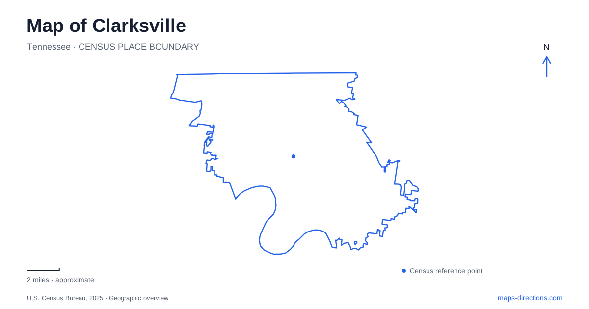
Street tiles load from OpenStreetMap when opened. The blue line shows the 2025 Census boundary.
- State
- Tennessee
- Population · July 2025
- 188,829
- Land area
- 100.1 sq mi
- Water area
- 0.7 sq mi
Clarksville's geography brings together two rivers, a bluff-top historic site, an urban university and a cave landscape shaped by water underground. The Cumberland River supplies the main waterfront reference, while the Red River joins it near Fort Defiance. Downtown buildings tell a story of tobacco commerce and public institutions, and parks allow that history to be read alongside the present landscape. A city map is most informative when those relationships remain visible rather than being reduced to a list of attractions.
Two perspectives on the Cumberland
McGregor Park, at 640 North Riverside Drive, offers a close view of the Cumberland River. Its walking trail, picnic areas and boat ramp make the water an everyday public space. The park's As the River Flows Museum adds interpretation about the river's role in the community, connecting the view outside with the history of movement and commerce.
Fort Defiance provides a contrasting perspective from a bluff above the meeting of the Red and Cumberland rivers. The historic site at 120 Duncan Street places visitors in a landscape where height and the river junction mattered. Looking down toward the confluence helps explain why this location became a center of settlement, trade and military activity.
The two places therefore offer complementary views of Clarksville. One follows the water at close range; the other reveals the larger arrangement of channels and high ground. Keeping them separate on an itinerary preserves that contrast instead of treating both simply as riverfront parks.
A customs house built for a trading city
The Customs House Museum & Cultural Center occupies a distinctive building at Second and Commerce streets. Completed in 1898, it originally combined a federal post office with customs functions generated by the area's international tobacco trade.
Its elaborate roofline and ornament are evidence of the importance assigned to a relatively small federal building. The city needed a place to handle both mail and the government business associated with its commercial connections. The architectural statement belongs to that period of confidence in river-linked trade.
After the post office moved, the building served the local electricity department before reopening as a museum in June 1984. A major expansion followed in 1996. These successive uses make it a useful anchor for reading downtown Clarksville: the structure survived because its purpose changed, and the current cultural institution occupies more than the original historic building alone.
An educational site older than its university
Austin Peay State University's main campus is centered on College Street, with the university address at 601 College Street. The institution began in 1927 as a teacher-training school and junior college, but the educational use of the site is much older.
The Rural Academy was founded near College and Henry streets in 1806. A succession of schools followed, including Stewart College and Southwestern Presbyterian University. The latter moved to Memphis in 1925 before the new state institution was established.
This continuity explains why a substantial campus sits within the downtown urban fabric. It was not simply a modern college inserted at the edge of a growing city. The educational landscape developed through repeated institutional changes on related ground. Walking between the campus and the historic commercial district allows two long-running civic functions to be considered together.
A different water landscape at Liberty Park
Liberty Park lies at 1188 Cumberland Drive. Its marina and four-lane boat ramp relate directly to the river, while a separate ten-acre fishing pond, playground and walking trail provide recreation within the park itself. The Wilma Rudolph Event Center and Freedom Point add gathering spaces to the same complex.
For a Clarksville map, the distinction between the pond and the river is useful. Water visible within the park does not all belong to the marina basin or the Cumberland channel. The park combines several uses, from launching boats to walking beside a contained pond, and each occupies a different part of the grounds.
Dunbar Cave and the water beneath the surface
Dunbar Cave introduces a limestone landscape beyond the riverfront. A stream emerges from the cave and has been impounded to form a small lake, while woodland surrounds the entrance area. The cave and nearby archaeological deposits record both natural processes and a long human relationship with the place.
Indigenous cave art discovered in 2005 is among its most significant cultural resources. Public access to the interior is through guided tours, with reservations strongly recommended and seasonal availability. Photography is prohibited inside to protect the art, and tour participants need a handheld flashlight under the park's rules.
The cave's sensitive resources make it a different outing from a casual riverfront stroll. Surface trails and the entrance landscape can introduce the setting, while an interior visit requires the appropriate guided program. Together with the bluff, rivers and historic streets, Dunbar Cave gives Clarksville a geographic depth that extends both above and below the everyday road map.
Map and statistics: U.S. Census Bureau, 2025 Gazetteer, January 2025 generalized place boundaries and Vintage 2025 population estimates. Local references: City of Clarksville; Customs House Museum and Cultural Center; Austin Peay State University; Tennessee Department of Environment and Conservation; Friends of Dunbar Cave; Tennessee State Parks. Article prepared by Maps & Directions.