Map of Citrus Heights
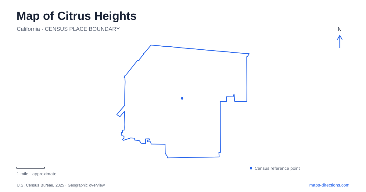
Street tiles load from OpenStreetMap when opened. The blue line shows the 2025 Census boundary.
- State
- California
- Population · July 2025
- 86,348
- Land area
- 14.2 sq mi
- Water area
- 0.0 sq mi
Citrus Heights presents a useful map-reading challenge: the word Sunrise can identify a boulevard, a commercial district or a recreation agency, while a park name can conceal more than one useful entrance address. These overlapping labels make familiar names less precise than they first appear. Start with the type of place being sought, then pair its name with a street. That small distinction helps separate a shopping trip near Greenback Lane from an appointment at the park district or a visit to a historic property.
Sunrise and Greenback define a commercial reference
The city describes Sunrise MarketPlace as a business improvement district around Sunrise Boulevard and Greenback Lane. It is an area containing many businesses, not the name of a single building. That matters when someone proposes meeting “at Sunrise”: the phrase could refer to a large area rather than a particular entrance, storefront or parking aisle.
For a Citrus Heights shopping destination, retain the individual business address even after recognizing the district. A map of the Sunrise Mall property shows multiple parcels and street addresses along Sunrise Boulevard and Greenback Lane. The commercial name and property outline therefore do not replace the need to identify the specific building involved. A central mall marker may be adequate for recognizing the district while still being too broad for a final arrival instruction.
Read planning maps as plans
The city has published a Sunrise Tomorrow specific plan and continues to describe redevelopment activity at the mall. Such documents help explain why the property occupies an important place in the local street network. They do not, by themselves, confirm that a proposed feature is built, open or available for public access on the day of a visit.
When comparing a planning illustration with a street map, distinguish the existing road framework from proposed buildings, paths or public spaces. Sunrise Boulevard and Greenback Lane provide the larger reference, but internal property circulation may require a current site view. This is a case where more map detail can create false confidence if the reader overlooks the date and purpose of the drawing. Use redevelopment material for context and current destination information for arrival.
Auburn Boulevard anchors Rusch Community Park
Rusch Community Park is listed at 7801 Auburn Boulevard. The park district describes an extensive collection of facilities, including ball fields, a skate park, swimming pools, recreation rooms and a community center. It is therefore possible for two visitors to reach the correct park and still be looking for quite different parts of it.
For a Citrus Heights recreation booking, write down the named facility inside the park rather than relying on the broad park title. A pool session, a reserved picnic area and an indoor meeting do not necessarily share the same final approach. The address establishes the overall location; the facility name narrows the destination. Before distributing a meeting pin, check that it points to the appropriate part of the grounds instead of simply their geometric center.
The historic home uses a different street address
The district lists Historic Rusch Home and Gardens at 7301 Antelope Road, while the community park and pool use the Auburn Boulevard address. This is an especially useful local distinction because the shared Rusch name can make the two addresses look like competing versions of the same instruction. They identify different destination references within the wider recreation setting.
Someone visiting the historic home should preserve the Antelope Road information rather than automatically replacing it with the address most prominently displayed for the community park. Conversely, a general park program may use the Auburn Boulevard location. Let the actual venue determine the search. The similar names help establish the relationship between the places, but the differing streets explain why a precise destination is still necessary.
A Greenback park is reached by another named street
Greenback Wood Park provides another example. The park district lists its address as 6855 Flaming Arrow Drive. Its facilities include play equipment, picnic tables, basketball space and paved walkways. The word Greenback in the name does not mean the park's visitor address is on Greenback Lane.
This distinction is helpful when reading Citrus Heights at neighborhood scale. A park can take its name from a nearby corridor or local identity while its practical arrival point lies on a smaller street. Search the listed address, then inspect the relationship between that street and the park boundary. Do not move the destination to a larger road merely because its name seems more closely associated with the attraction.
Know which organization identifies the facility
The city identifies Sunrise Recreation and Park District as the provider of local parks and recreation services. Its system includes both active recreation sites and quieter spaces preserving oak groves and creek areas. That variety is visible in the map: not every green patch is a sports complex, and not every park needs the same kind of arrival plan.
For Citrus Heights, the most useful habit is to match three things before traveling: the precise facility, its published street address and the organization responsible for it. This resolves the local overlap among Sunrise names, clarifies the two Rusch address references and prevents Greenback Wood Park from being mistaken for a destination directly addressed on the major commercial corridor.
Map and statistics: U.S. Census Bureau, 2025 Gazetteer, January 2025 generalized place boundaries and Vintage 2025 population estimates. Local references: City of Citrus Heights; Sunrise Recreation and Park District. Article prepared by Maps & Directions.