Map of Chino Hills
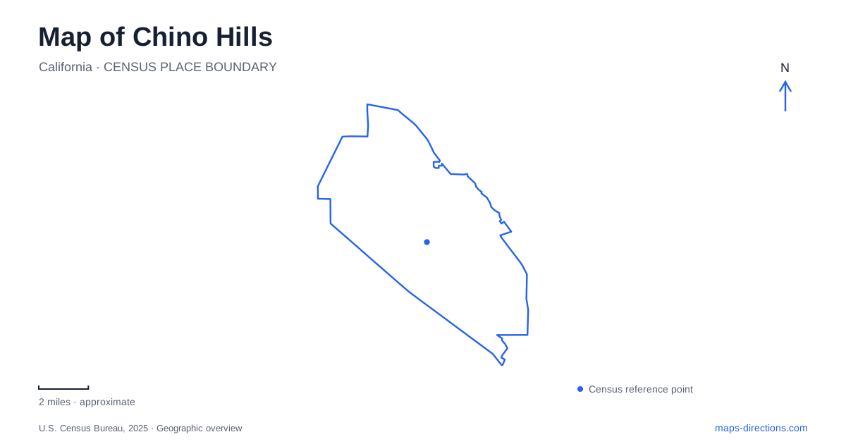
Street tiles load from OpenStreetMap when opened. The blue line shows the 2025 Census boundary.
- State
- California
- Population · July 2025
- 77,519
- Land area
- 44.8 sq mi
- Water area
- 0.0 sq mi
Chino Hills has a landscape in which protected slopes, horse facilities, shopping streets, and large recreation grounds remain visibly separate. A useful map shows the relationships between these places rather than treating every green area as one park. Grand Avenue and Peyton Drive organize a recognizable commercial and community cluster, while Fairfield Ranch Road serves substantial destinations near the State Route 71 corridor. Farther into the hills, the pattern becomes one of trailheads, canyon roads, and open land.
Grand Avenue and the community grounds
The Shoppes occupies the Grand Avenue and Peyton Drive intersection. Its open-air arrangement borrows the form of a pedestrian shopping street, with a promenade and fountain among stores and restaurants. That gives this intersection a different character from a single enclosed shopping building: the pedestrian spaces form part of the destination itself. On a map of Chino Hills, the retail cluster is a useful reference for locating the community facilities along Peyton Drive.
The community center stands at 14250 Peyton Drive, beside the McCoy Equestrian and Recreation Center at 14280. The latter preserves a tangible piece of the area's horse-breeding history. Frank and Helen McCoy were known for breeding Arabian horses, and their former property now accommodates equestrian activities and gatherings. The city approved purchasing the property under its longstanding agreement in 2021. Arenas, the residence, and the barn give this twenty-acre site a character quite different from the neighboring community building.
A lake within the neighborhood trail network
English Springs Park, at 2201 Grand Avenue, contains a pond, picnic gazebos, a playground, and courts within 8.2 acres. The water is also part of the drainage system: the basin holds additional runoff during rain, and rising water can lead to park closure. Its appearance as an ornamental lake therefore tells only part of the story. This is a landscaped recreation site that also performs a practical role during storms.
The city describes the English Springs Loop as a paved, four-tenths-mile circuit with modest changes in elevation. Its broader trail connections include McCoy, Eucalyptus, and Community Center loops. Grand Avenue provides a park access point with parking; the Village Center Drive entrance is identified as an access point without parking. These connections help explain why walking routes around the lake can appear on the same map as longer journeys through nearby community grounds.
Chino Hills maintains a municipal system of sixteen trailheads and twenty-eight trails. That network passes through community open space and is distinct from the separately managed state park. Looking at trail names and their connecting points reveals a finer-grained landscape than the broad green shading on a regional road map.
Fairfield Ranch Road's two contrasting landmarks
At 15100 Fairfield Ranch Road, the BAPS Shri Swaminarayan Mandir is both a place of worship and an architectural landmark. Dedicated in 2012, it combines pink sandstone on the exterior with white Italian marble inside. Artisans carved the stone in India before the pieces were shipped to Southern California and assembled. The completed building makes the road a cultural destination as well as a route through the developed part of the city.
Farther along the same named road, Big League Dreams occupies 16333 Fairfield Ranch Road. The city-owned sports property covers thirty-four acres and contains six reduced-scale versions of famous major-league ballparks. Their references include Fenway Park, Wrigley Field, and Yankee Stadium. A covered recreation structure, batting cages, and restaurants overlooking the fields extend the complex beyond its diamonds. The two addresses make a useful contrast when reading Chino Hills: one corridor accommodates a religious campus and a substantial organized-sports venue, each with its own internal arrangement.
Sapphire Road and the park beyond town
The principal state park entrance is at 4721 Sapphire Road. The approach from State Route 71 follows Soquel Canyon Road toward Elinvar Road and Sapphire Road. Bane Canyon leads into a landscape that differs sharply from the neighborhood parks, with trails and the Rolling M Ranch area forming part of the larger protected property.
The Discovery Center belongs to that same state park but is located at 4500 Carbon Canyon Road in Brea. It offers exhibits about wildlife, plants, and natural resources. These two approaches lie on different sides of the protected hills; the Discovery Center's address should therefore shape an itinerary specifically intended for its exhibits. Chino Hills is best understood with both scales visible: the local network around Grand Avenue and Peyton Drive, and the larger canyon-and-ridge landscape reached through dedicated park approaches.
Map and statistics: U.S. Census Bureau, 2025 Gazetteer, January 2025 generalized place boundaries and Vintage 2025 population estimates. Local references: City of Chino Hills; BAPS Swaminarayan Sanstha; California State Parks. Article prepared by Maps & Directions.