Map of Chicopee
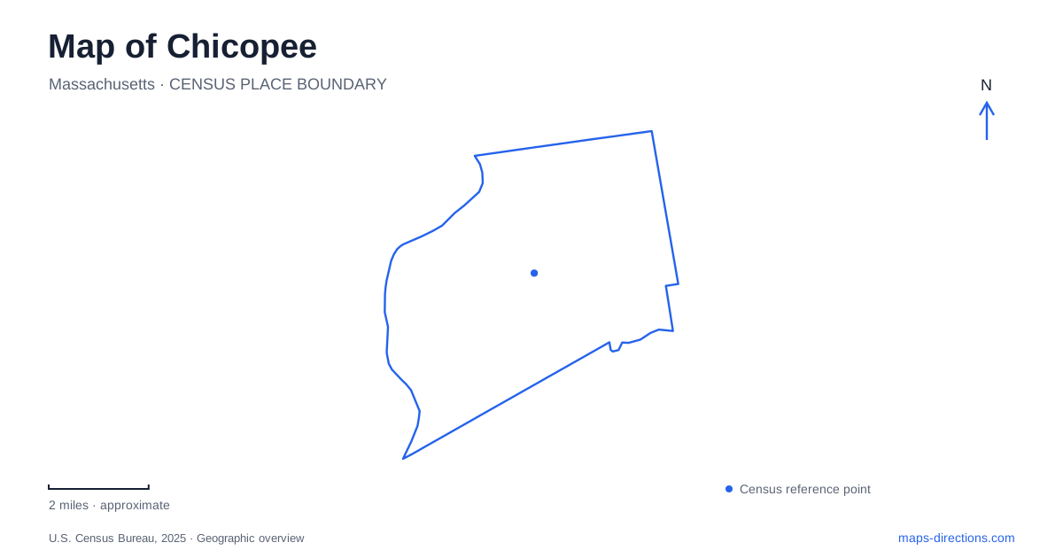
Street tiles load from OpenStreetMap when opened. The blue line shows the 2025 Census boundary.
- State
- Massachusetts
- Population · July 2025
- 55,310
- Land area
- 22.9 sq mi
- Water area
- 1.0 sq mi
Chicopee is a city of several established neighborhood centers, with rivers and industrial history explaining much of its layout. Cabotville, the Falls district, and Willimansett developed as distinct places rather than extensions of a single downtown square. Farther from the old manufacturing areas, Westover's aviation landscape and the Burnett Road recreation district introduce much larger blocks of land. A map becomes easier to read when these different scales are recognized: compact former mill neighborhoods, regional transportation facilities, and wooded parkland do not follow the same street pattern.
Cabotville, the Falls, and the river
Cabotville is the older name associated with the center, near the river's mouth. The Falls district developed farther along the watercourse, where falling water supplied power for manufacturing. Willimansett grew north of the river. These names remain useful orientation points because they describe the historical structure of the city, not merely subdivisions added to a modern street map.
The Connecticut River forms the western regional boundary, with Holyoke and West Springfield across it. Springfield lies to the south and Ludlow to the east. Within this setting, the Chicopee River helped connect the industrial settlements while also separating parts of the street network. A destination identified with the Falls belongs to a different local setting from an address in Cabotville, even though both grew from the same wider manufacturing economy.
Reading the former factory landscape
The RiverMills area provides a particularly clear example of changing land use. Textile production on the former Facemate property began under an earlier manufacturing company and later continued under Johnson & Johnson. Nearby, the Fisk Rubber operation became associated with United States Rubber and Uniroyal. The industrial mix included tires, textiles, machinery, and other products, leaving a more varied manufacturing legacy than a single surviving mill name suggests.
The RiverMills Center at 5 West Main Street is a present civic destination within this former industrial setting. Its design incorporated columns and fire doors from the Facemate buildings and used brick, large windows, and a tower to reference the site's manufacturing character. Those reused elements connect an everyday public building to the older factory landscape. They also make West Main Street a useful location for understanding redevelopment without assuming that every parcel of former industrial land has the same present use.
Aviation changes the scale
Westover introduced a much larger land pattern to Chicopee. The airfield opened in 1940 and served military training and transportation roles during World War II. It later became a Strategic Air Command installation before shifting to Air Force Reserve use in 1974. This sequence helps explain why aviation occupies such a substantial place in the city's geography and identity.
The air reserve base and metropolitan airport share a runway, according to the municipal overview. Their large footprint is consequently a major orientation feature even for trips unrelated to flying. Unlike the small blocks around older neighborhood centers, an airfield creates long edges and a limited number of approaches. The military and civilian facilities should be understood as distinct destinations within the same aviation landscape; the visible runway does not indicate a public road across the property.
Reservoir woods off Burnett Road
Chicopee Memorial State Park is addressed at 570 Burnett Road. The state trail map shows the main entrance leading toward the reservoir, beach, and bathhouse, with trails and wooded areas extending beyond the developed swimming facilities. Cooley Brook and the lower reservoir add another water landscape, quite different from the industrial river corridor nearer the older settlements.
The park supports walking, biking, fishing, and seasonal swimming. Snake Brook Trail is identified by the state as an easier walking option, while the map distinguishes paved bicycle routes from other trails. Choosing between a beach visit and a longer woodland outing changes which part of the park matters most. The shoreline facilities provide a recognizable starting area, but they represent only one portion of the wider recreation landscape beside Westover.
Municipal recreation and a college address
Szot Park adds a different kind of public space to a map of Chicopee. Its municipal address is 927 Sgt. Tracy Drive, and its facilities include athletic fields, courts, a walking track, picnic areas, and trails. This is a sports and neighborhood recreation destination, distinct from the reservoir and woods off Burnett Road. The city's master plan describes future improvements as a long-term program, so proposed replacements should not be confused with completed facilities.
Elms College supplies another useful landmark at 291 Springfield Street. Together, that campus address, the RiverMills Center, Szot Park, and the state park show how many different purposes local journeys can have. Starting with the relevant neighborhood or major land feature gives those addresses context and makes the city's layered industrial, civic, educational, and aviation geography easier to understand.
Map and statistics: U.S. Census Bureau, 2025 Gazetteer, January 2025 generalized place boundaries and Vintage 2025 population estimates. Local references: City of Chicopee; US Air Force Reserve; Massachusetts DCR; Elms College. Article prepared by Maps & Directions.