Map of Chicago
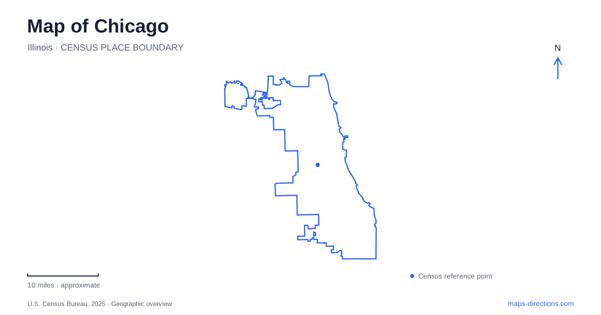
Street tiles load from OpenStreetMap when opened. The blue line shows the 2025 Census boundary.
- State
- Illinois
- Population · July 2025
- 2,731,585
- Land area
- 227.7 sq mi
- Water area
- 6.8 sq mi
Chicago has two particularly useful geographic reference systems: the street-address grid and the Lake Michigan shoreline. The first helps place an address relative to downtown; the second establishes a broad eastern edge to the city. Together they make an unfamiliar map more intelligible, but neither replaces the details of a bridge, a station entrance or a path down to the river. Use the outline for the overall setting and a street-level view for the actual connection between destinations.
Begin with State and Madison
The municipal street guide identifies State Street and Madison Street as the grid's principal reference lines. Address numbers express position relative to those lines, while the directional part of an address distinguishes opposite sides. A missing north, south, east or west can therefore be a substantive error rather than an optional abbreviation. Keep the full direction when copying an address into a search field or sharing a meeting point.
The University of Chicago's explanation of the grid notes that lower numbers lie closer to the reference streets and higher numbers farther away. This is useful for judging whether two addresses belong in the same general area. It is not a promise that the streets between them form an uninterrupted route. The city also has angled streets, and the river introduces crossings that an address-number comparison alone cannot describe.
The Loop is a district, not a single destination
The official tourism bureau describes the Loop as the central business district beside the lake and river. State Street shopping, the theatre district, Millennium Park and the riverfront all appear within its visitor geography. Their common district label is useful when grouping stops, but it does not make their entrances identical. A route to the middle of the neighborhood can leave the final approach unresolved.
On the lakefront side, the Millennium Park campus includes Cloud Gate, Crown Fountain, Lurie Garden and the Jay Pritzker Pavilion, with Maggie Daley Park nearby. These named features give a more precise meeting location than simply saying downtown. For a group arriving separately, choose an identifiable public entrance or landmark and state which one it is. A park label occupying a large area on the screen should not be mistaken for the exact spot where everyone will arrive.
Separate the river path from the street above
The downtown Riverwalk follows the south bank between Lake Michigan and Lake Street. That bank matters. A pin on the opposite side of the water or a street-level bridge position is not automatically the same arrival point as a riverside destination. Before beginning the final walk, inspect the access point connecting the street to the path rather than relying on the apparent straight-line distance.
For a Chicago river outing, keep the operator's actual meeting or boarding location with the reservation. Multiple activities share the river corridor, and a general riverfront search is not evidence that a particular boat leaves from the first dock shown. The practical map question is which bank and which access point serve the booking. This remains useful even when a route changes, because it preserves the destination's physical relationship to the water.
The shoreline is a long corridor
The Park District describes lakefront trails extending from Ardmore Avenue in the north to 71st Street in the south. Its trail system separates bicycle and pedestrian routes, with different total lengths. A small overview may make these parallel routes appear to be one line, so inspect the relevant segment and follow the path intended for the activity. A cycling route and a walking route need not use the same detailed alignment.
This corridor reaches far beyond the downtown attractions. Choosing a beach, a park entrance or a named cross street creates a much better starting point than choosing the entire lakefront. The north and south endpoints also provide a sense of scale: visiting a particular waterfront area is different from attempting to traverse the complete corridor. Use a local segment for an outing rather than allowing the size of a shoreline label to hide the distance involved.
Make the final checks match the destination
A Chicago address search should retain its directional prefix, while a riverfront search should retain its bank and access point. A park trip benefits from a named entrance or feature, and a trail trip needs the correct pedestrian or bicycle alignment. These are different questions, so a useful map routine changes with the kind of destination instead of applying one generic arrival assumption everywhere.
The strongest way to plan a Chicago day is to place the stops on the grid first, notice where the river or shoreline changes the connections, and then resolve each final entrance. The resulting itinerary has a clear geographic explanation: which part of downtown, which side of the water and which segment of the lakefront. Check current access notices before travel, since a permanent path shown on a map does not establish that every segment is usable on a particular day.
Map and statistics: U.S. Census Bureau, 2025 Gazetteer, January 2025 generalized place boundaries and Vintage 2025 population estimates. Local references: City Clerk; University of Chicago; Choose Chicago; Chicago Park District. Article prepared by Maps & Directions.