Map of Chesterfield
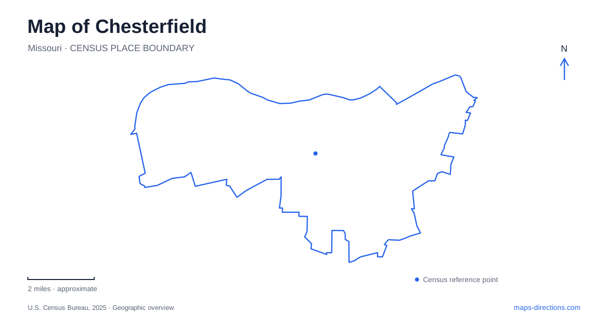
Street tiles load from OpenStreetMap when opened. The blue line shows the 2025 Census boundary.
- State
- Missouri
- Population · July 2025
- 49,309
- Land area
- 31.8 sq mi
- Water area
- 1.8 sq mi
Chesterfield has several distinct public landscapes: a historic park along Olive Boulevard, a civic recreation area at Central Park, and a broad valley where a levee carries a regional walking and cycling route. These places are related through the city’s road network, but they tell different stories. Faust Park preserves buildings and collections; the valley trail follows flood-protection infrastructure; Central Park provides a modern setting for recreation and remembrance. Treating each as its own destination makes the wider map easier to understand.
Faust Park and the Thornhill estate
Thornhill, the home associated with Missouri governor Frederick Bates, is a historical anchor within Faust Park. Bates became the state’s second governor in November 1824 and died at the estate the following August. The family cemetery remains part of the property. The house therefore connects an individual residence with the early history of state government rather than with a later suburban development.
Leicester Busch Faust acquired the house property in 1930 to protect it from demolition. He and Mary Plant Faust donated ninety-eight acres, including the historic buildings, to the county in 1968. The public park opened in 1973. Subsequent restoration used original woodwork and windows that had been stored during earlier alterations, giving the building’s survival a more complicated history than an untouched house might suggest.
Historic buildings gathered in one place
Faust’s Historic Village brings together structures with different original locations. The Mertz house, built on land in what is now Town and Country, moved to the park in 1986 when its former site became Maryville Centre. The Miles Seed carriage house came from Jennings in 1990. Their presence in Chesterfield reflects preservation and relocation, not evidence that every building originally belonged to the Thornhill estate.
The county park map marks the village as pedestrian-only and distinguishes it from the mansion, cemetery, carousel, playground, and Butterfly House. It also identifies schoolhouses, barns, and other buildings within the village. Reading this internal map helps a visitor follow the relationships between the structures without mistaking the whole park for a single museum building. The different origins of the buildings make the collection useful for comparing domestic, educational, and working environments from the region’s past.
A separate living collection
The Sophia M. Sachs Butterfly House opened in September 1998 and became part of the Missouri Botanical Garden in 2001. Its address is 15050 Faust Park. It occupies the same county park setting as the historic attractions, but its purpose and operation are separate. A trip aimed at the conservatory should identify that building specifically rather than use a general park label.
Its indoor tropical environment and outdoor native-butterfly garden provide two different ways to understand butterfly habitat. The outdoor garden was dedicated in 2000. This contrast adds a living environmental collection to a park otherwise strongly associated with historic structures. For Chesterfield visitors, the shared setting makes it possible to understand why several attraction names appear close together while still recognizing that each has its own entrance and visitor arrangements.
The valley route and the river crossing
The Missouri Greenway’s Monarch levee section follows a flat, exposed route through the valley. Its regional importance comes from the walking and cycling connection over the Daniel Boone Bridge to the Katy Trail on the opposite side of the Missouri River. The bridge is therefore more than a motorway landmark: it provides a link between recreation networks in two counties.
The greenway also relates to River’s Edge Park, the valley athletic complex, and nearby commercial destinations. River’s Edge offers lake-based recreation as well as a place to observe wildlife. This mixture explains why a levee path can function both as an exercise route and as a connection between different kinds of stops. The operator describes the route as sunny, so its character differs substantially from a shaded woodland trail even where both appear as narrow lines on a map.
Civic and wetland spaces
Central Park contains Veterans Honor Park along the west side of Veterans Place Drive. Its commemorative purpose makes it a different destination from the active sports grounds in the valley. A visit focused on remembrance belongs to this civic setting rather than to the historical village at Faust.
The municipal wetland trails provide another Chesterfield landscape near the valley athletic complex. The city maintains forty-three acres north of field A2 on the riverward side of the levee, with a nature trail and boardwalk overlooking the Missouri River Slough. That smaller wetland setting sits alongside the much broader levee route but offers a different pace and perspective. Together, the estate, relocated buildings, butterfly habitat, memorial, and river infrastructure show why a map of Chesterfield benefits from several carefully distinguished reference points.
Map and statistics: U.S. Census Bureau, 2025 Gazetteer, January 2025 generalized place boundaries and Vintage 2025 population estimates. Local references: St. Louis County Parks; Missouri Botanical Garden; Great Rivers Greenway; City of Chesterfield. Article prepared by Maps & Directions.