Map of Chelsea
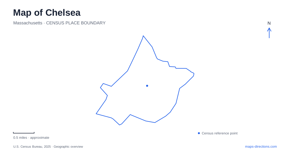
Street tiles load from OpenStreetMap when opened. The blue line shows the 2025 Census boundary.
- State
- Massachusetts
- Population · July 2025
- 40,130
- Land area
- 2.2 sq mi
- Water area
- 0.2 sq mi
Chelsea is best understood through the meeting of a dense street network and a working waterfront. Broadway connects districts whose buildings tell different stories, while Winnisimmet Street points toward an older maritime economy. Bellingham Square records the rebuilding that followed the 1908 fire; farther toward the water, surviving nineteenth-century streets retain another scale. Public parks add places to see the harbor landscape without confusing industrial shoreline with recreational space. A useful city map therefore includes both street-level history and the different kinds of access available along the water.
The civic center created after the fire
Bellingham Square became a center of government and commerce through coordinated rebuilding after the 1908 disaster. The city's historic-district inventory identifies more than 150 structures in an area involving Broadway, City Hall Avenue, Washington, Chestnut, Shurtleff, and several adjoining streets. This is a district of connected blocks rather than a single isolated monument. Its visual coherence reflects a rebuilding effort that considered the public center as a whole.
City Hall's design drew on Independence Hall in Philadelphia, while the public library opened in 1910. Those two civic institutions help explain the district's role: it gathered municipal administration and public learning alongside business activity. For a map of Chelsea, the square provides a historical anchor as well as a recognizable destination. The architecture is evidence of the city's response to destruction, and the surrounding streets show the extent of that response beyond the most prominent building.
Winnisimmet and the older commercial streets
The relationship between Broadway and Winnisimmet Street describes an earlier center. These routes connected the waterfront with communities to the north, and their junction remains a place where streets, civic space, and historic buildings come together. The great fire stopped at the edge of Chelsea Square, leaving a group of nineteenth-century buildings that preserve the scale of development before the rebuilding farther north.
One particularly tangible detail survives at Winnisimmet and Wharf streets: cobblestones that recall the late nineteenth and early twentieth centuries. The city's waterfront tour identifies this protected block as a remnant of a wider paved-stone streetscape once used by trolleys as well as other traffic. Looking at street surfaces here adds another layer to the map. The older transportation system was not only a series of routes; it left material evidence in the ground between the buildings.
The end of Winnisimmet Street was also associated with a long-running ferry connection to Boston. Its final passenger service ended in 1917. That history explains why the street leads so purposefully toward the shore. Before modern crossings reshaped regional journeys, the waterfront end was a departure point for people and goods, and the adjacent commercial streets developed around those movements.
A shoreline built for work
The waterfront tour describes successive industrial uses around Wharf and Marginal streets: shipbuilding, lumber and coal storage, and a depot serving lightships, harbor buoys, and lighthouse supplies. These were activities that needed direct contact with navigable water. Their locations help explain why the modern shoreline cannot be read as one continuous park edge.
Chelsea's industrial geography is visible in the contrast between working sites and deliberately designed public spaces. PORT Park illustrates a different way of engaging with that setting. Its design incorporates the framework of a gas tank and a boat shell, preserving industrial forms as features visitors can explore. A garden, fishing area, spray-play feature, and seasonal basketball use place recreation alongside the working waterfront. The design makes the area's past legible instead of replacing every trace of it with an anonymous lawn.
The Mystic River from Admiral's Hill
Mary O'Malley State Park is reached on Commandant's Way and overlooks the Mystic River. The Boston skyline and Tobin Bridge are defining views from this public space. Paved paths, a playground, tennis courts, and an open field support a different kind of visit from the commercial streets: walking, play, and time beside the water.
The park's setting on Admiral's Hill also gives a clear spatial reference for the river-facing side of the city. Seeing the bridge from a lawn or path is a different experience from encountering regional transportation through a road journey. The structure becomes part of the landscape, while the waterfront opens a wider view beyond the closely spaced buildings inland.
Together, these places give Chelsea a map with several readable layers. Bellingham Square reveals planned recovery, Winnisimmet preserves the direction of earlier trade, the industrial shore explains the value of waterfront land, and the state park provides an open view of the river that connects them to the wider harbor.
Map and statistics: U.S. Census Bureau, 2025 Gazetteer, January 2025 generalized place boundaries and Vintage 2025 population estimates. Local references: City of Chelsea; Discover Chelsea / Chelsea Prospers; Massachusetts Department of Conservation and Recreation. Article prepared by Maps & Directions.