Map of Chattanooga
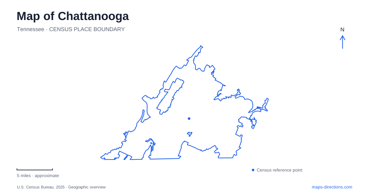
Street tiles load from OpenStreetMap when opened. The blue line shows the 2025 Census boundary.
- State
- Tennessee
- Population · July 2025
- 194,144
- Land area
- 142.4 sq mi
- Water area
- 7.7 sq mi
Chattanooga occupies a landscape in which the Tennessee River and Lookout Mountain remain active organizing features. The riverfront joins cultural destinations and long recreational paths, while the mountain separates valley-level streets from elevated viewpoints and battlefield grounds. A map becomes more useful when those changes in height and direction are kept visible. Downtown, the North Shore and St. Elmo offer different starting points for exploring the same larger river-and-ridge setting.
The aquarium and the reclaimed waterfront
The Tennessee Aquarium's two major buildings mark an important chapter in downtown renewal. River Journey opened in 1992 on land previously occupied by abandoned riverfront warehouses. Ocean Journey followed in 2005, expanding the institution's original freshwater focus to marine environments.
The buildings' names describe different ecological scales. River Journey emphasizes inland water systems, while Ocean Journey extends the story toward saltwater habitats. Their location beside an actual major river gives that educational sequence a geographic setting rather than leaving it entirely inside exhibit halls.
Nearby Ross's Landing connects recreation with a much longer history of movement through Chattanooga. It developed from a trading post into a steamboat landing, and the present waterfront includes The Passage, which commemorates Cherokee removal. The site should therefore be read as both a modern public gathering space and a place associated with forced displacement. Its lawns and walkways do not erase the history interpreted along them.
Following a river rather than a downtown loop
The Tennessee Riverwalk extends approximately sixteen miles, linking the central waterfront with Chickamauga Dam to the northeast and the St. Elmo area to the south. It combines paved paths, bridges and boardwalk sections. This is a long urban corridor with numerous access points, not simply the promenade in front of the aquarium.
Along the northeastern stretch, access near Amnicola Highway allows shorter outings without requiring a return from the full trail's endpoint. Battery Place, rowing facilities and marshland introduce changes in character as the route moves away from the concentrated downtown attractions. A useful map follows those successive settings instead of assuming that every mile has the same scenery or services.
The river's bends also make straight-line distance misleading. A destination visible across water may belong to another part of the path or require a bridge crossing. The route's value lies partly in following those contours, revealing how neighborhoods, industry and recreation occupy the river's edge.
North Shore lawns and the bridge connection
Coolidge Park sits on the North Shore at 150 River Street. Its lawns and pavilion frame a restored Dentzel carousel with wooden animals carved through a community effort led by Bud Ellis. The carousel gives the park a distinctive indoor focal point alongside its open riverfront space.
Renaissance Park lies next door, while the Walnut Street pedestrian bridge forms the familiar connection toward downtown. The bridge entered a major repair project in March 2025, including structural work, decking, paint and electrical improvements. Because the project page has carried construction detours, confirm the current crossing arrangement before making it essential to a walking loop. Market Street Bridge and Veterans Bridge were designated alternatives during the work.
That crossing decision changes a Chattanooga walk more than the apparent distance between the two riverbanks suggests. The parks remain on one shore and the aquarium area on the other, even when a preferred bridge is temporarily unavailable.
St. Elmo at Chattanooga’s mountain edge
St. Elmo occupies the base of Lookout Mountain. The Incline Railway's lower station makes the neighborhood a gateway to an elevated landscape, while the International Towing Museum gives it an industrial story of its own. The river corridor and the mountain approaches meet here without becoming the same kind of journey.
Reflection Riding Arboretum and Nature Center occupies land along Lookout Creek nearby. Its valley setting differs from the steep mountain slopes and summit viewpoints. Keeping the creek, mountain and Tennessee River distinct helps explain why several outdoor destinations can appear close together while offering very different terrain.
The battlefield seen from above
Point Park is a ten-acre memorial landscape overlooking the Lookout Mountain battlefield and the city. Paths connect monuments, artillery positions and overlooks; a visitor center stands outside the entrance. The high ground mattered during the 1863 campaign because forces on the mountain could observe the valley and threaten supply routes below.
The November 24 battle took place on the mountain's northern slopes. Nearby Cravens House preserves an 1866 rebuilding after wartime destruction, rather than an untouched prewar residence. Together, the house, slopes and summit explain different parts of the campaign.
From this elevated setting, the map of Chattanooga becomes a connected terrain: river bends, valley approaches and high observation points. Some viewpoints involve access limitations, and the mountain trail network is more demanding than the downtown Riverwalk. Choosing between them is a choice of landscape as much as a choice of distance.
Map and statistics: U.S. Census Bureau, 2025 Gazetteer, January 2025 generalized place boundaries and Vintage 2025 population estimates. Local references: Tennessee Aquarium; Chattanooga Tourism Co.; City of Chattanooga; National Park Service. Article prepared by Maps & Directions.