Map of Charlottesville
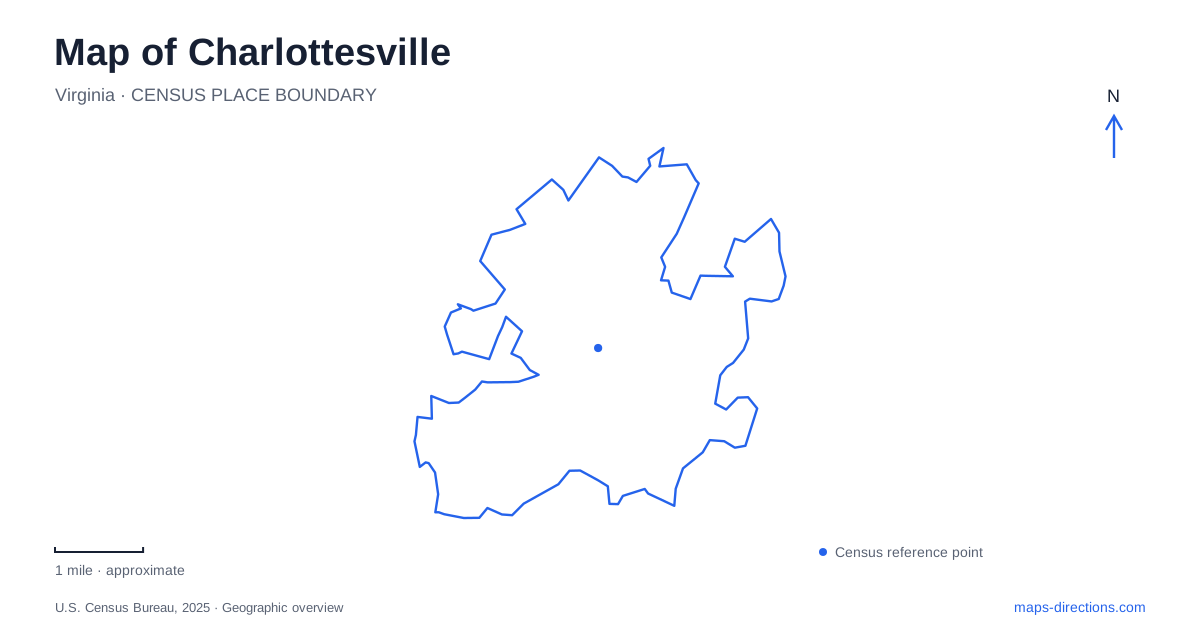
Street tiles load from OpenStreetMap when opened. The blue line shows the 2025 Census boundary.
- State
- Virginia
- Population · July 2025
- 44,388
- Land area
- 10.2 sq mi
- Water area
- 0.0 sq mi
Charlottesville has several centers with different origins: the courthouse district, the commercial blocks of Main Street, and the University of Virginia's historic Grounds. The Rivanna River adds a contrasting eastern edge, where paths follow the water beyond the compact streets of downtown. These places reveal a city shaped by transportation, education, landscape design, and contested redevelopment. A useful map connects those histories instead of treating the university or pedestrian mall as the whole city.
Main Street changes its purpose
Main Street follows the course of Three Notch'd Road, a route adopted by colonial settlers in the eighteenth century. Its later transportation history included rail service and streetcars, but the most visible modern change came when several downtown blocks were converted into a pedestrian landscape. Lawrence Halprin & Associates designed the Downtown Mall, which was dedicated in 1976 and completed in two phases through 1980.
The design used brick, granite, cast iron, willow oaks, planters, and places to sit. These elements changed how people moved through the commercial corridor: the street became a space for wandering, stopping, and gathering rather than simply passing through by vehicle. Its storefronts remained important, but the space between them acquired a new public function.
That distinction is essential when reading central Charlottesville. The Main Street name extends beyond the pedestrian area, while the mall represents a particular designed section within the older corridor. Its paving and planting are part of a twentieth-century landscape laid over a much older route, not evidence that the entire street began as a pedestrian precinct.
Court Square and the erased neighborhood nearby
The courthouse historic district includes the original fifty-acre town grid, together with expansion areas west of Court Square and north along Park Street. Economic activity initially focused on the courthouse area before Main Street became the commercial and social center during the nineteenth century. This sequence explains why the civic and shopping districts sit close together while retaining different street settings.
The history of downtown Charlottesville also includes places that no longer survive in their earlier form. Vinegar Hill, a predominantly African American residential and business neighborhood, was demolished in 1964 under urban renewal. University research describes its core as the triangle between Main Street, Preston Avenue, and Fourth Street, immediately west of the original downtown grid.
Those boundaries give a vanished neighborhood a specific geographical location. They also complicate a simple story of downtown improvement: the later cityscape includes the consequences of displacement as well as preservation and investment. Reading the historical map alongside today's roads makes the missing buildings and disrupted community part of the place's history.
The Lawn is the center of a larger arrangement
At the University of Virginia, the Academical Village organizes buildings around the Lawn, but the full layout extends beyond that central view. The East and West Ranges run parallel to the Lawn and face outward. Walled gardens lie between the inward-facing and outward-facing rows, while the original complex also contained service buildings necessary for daily life.
University research emphasizes that this landscape originally functioned more like a small working settlement than a purely ornamental campus. Gardens produced food, livestock occupied parts of the grounds, and kitchens, stables, and other outbuildings supported residents. Enslaved people built and sustained the institution, a history that must accompany an appreciation of its architecture.
For Charlottesville visitors, this broader layout changes what there is to notice. The spaces behind the principal facades explain how the complex operated, while the outward-facing Ranges connect the formal center to its surrounding landscape. The Lawn, gardens, and rows of rooms are interdependent parts of one design.
The river trail begins at Chesapeake Street
Riverview Park occupies 26.6 acres at the eastern end of Chesapeake Street. The land borders the Rivanna River and was donated for public use in 1974 before its development as a park by 1989. Open field, playground, benches, and a paved parking area establish a developed starting point beside the river.
From there, a paved trail follows the river north for approximately 2.3 miles, passing beneath Free Bridge and Route 250 East. This under-road alignment is a useful detail: the riverside route has its own continuity beneath a major transport crossing. It forms part of a wider trail system around the city, but other portions of that network vary in surface and accessibility.
The river edge offers a different spatial experience from the enclosed streets and formal university spaces. On a map of Charlottesville, Chesapeake Street marks the transition from neighborhood travel to a route guided by the water, with the river's course supplying the direction of movement.
Map and statistics: U.S. Census Bureau, 2025 Gazetteer, January 2025 generalized place boundaries and Vintage 2025 population estimates. Local references: City of Charlottesville; Virginia Department of Historic Resources; University of Virginia. Article prepared by Maps & Directions.