Map of Charlotte
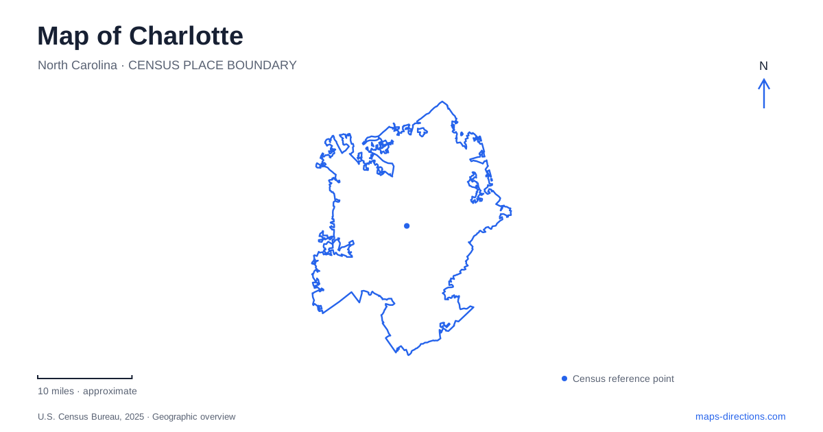
Street tiles load from OpenStreetMap when opened. The blue line shows the 2025 Census boundary.
- State
- North Carolina
- Population · July 2025
- 964,784
- Land area
- 312.1 sq mi
- Water area
- 2.0 sq mi
Charlotte calls its central business district Uptown, so that label belongs at the center of a visitor's map rather than somewhere beyond a separate downtown. Trade and Tryon streets supply a useful reference point within it. Their intersection anchors the historic center and the four wards, while rail and streetcar routes extend toward other neighborhoods. Understanding those names helps interpret an address before deciding how to reach it.
Trade and Tryon establish the center
Center City Partners identifies the original crossroads with today's Trade and Tryon intersection, also known as Independence Square. The nearby Thomas Polk Park occupies its northwest corner. Those are concrete references that can anchor a first walk through the central area. Use the intersection to orient the district, then compare the specific venue's street address rather than treating the crossroads as the entrance to all of Uptown.
On a Charlotte map, the four ward names describe areas around this center. Third Ward includes major sports destinations such as Bank of America Stadium and Truist Field, while Fourth Ward has a residential and historic character alongside its public destinations. The ward label is useful for grouping stops, but the actual gate or building entrance still needs to be identified separately.
Venue names can conceal separate locations
The Mint Museum explicitly distinguishes its Uptown location at Levine Center for the Arts from its Randolph location in Eastover. This is an important search ambiguity because both results belong to the same institution. A general museum-name search can be accurate about the organization and still select the wrong building for an exhibition, appointment or meeting.
For a Charlotte museum visit, retain the location qualifier with the ticket or event information. “Uptown” and “Randolph” should remain visible in the saved destination, not disappear when the address is copied. The same reasoning applies when comparing a venue's administrative information with its visitor entrance. The place required for the activity is more useful than the first matching organization pin.
The Blue Line and Gold Line serve different corridors
CATS publishes separate information for its Blue Line light rail and Gold Line streetcar. The Gold Line connects the Historic West End through the center to Elizabeth, with stops including Tryon Street, CTC/Arena and the Central Piedmont area. That route provides a different set of connections from a journey along the Blue Line. A matching color or station icon on a small map is not enough to identify the correct service.
The Blue Line station directory includes I-485/South Boulevard and the university's Main Station, together with intermediate stops. When choosing a station, compare the venue with the actual station address and access point. A rail corridor can run near a destination without placing its platform at the building's entrance. Plan the final walk separately and consult current operator notices for access changes or service interruptions.
Park-and-ride symbols have a specific meaning
CATS advises using the park-and-ride symbol on its Blue Line map to identify stations with that facility. Do not infer parking availability merely because a station sits outside the central area or next to a broad road. The symbol answers a specific question about the interchange, while the station's street address identifies where the rail journey begins.
For Charlotte trips that combine driving and rail, keep the station parking destination separate from the final venue. This produces two clear route stages rather than one vague instruction to take the train downtown. It also makes the return easier to understand, because the saved plan identifies the station where the vehicle was left rather than only the attraction visited after the transfer.
Airport ground transport is another decision
The airport's official ground-transportation page identifies CATS Sprinter service among its travel options. Consult that airport guidance for the current terminal pickup arrangement and the transit operator for the onward service. A city rail map by itself should not be used to assume that a particular train boards directly at the terminal. Airport access and the central rail network need to be connected by the actual published service.
A Charlotte itinerary becomes clearer when its place names carry their full meaning: Uptown for the central district, Trade and Tryon for orientation, the correct Mint Museum location for the visit, and the appropriate rail or airport connection for arrival. Use each map for the question it answers. The district map locates the activity, the operator map explains the transfer, and the street-level view resolves the entrance. This makes the plan understandable without relying on a fixed journey time or treating every central destination as the same stop.
Map and statistics: U.S. Census Bureau, 2025 Gazetteer, January 2025 generalized place boundaries and Vintage 2025 population estimates. Local references: Charlotte Center City Partners; Mint Museum; CATS; Charlotte Douglas International Airport. Article prepared by Maps & Directions.