Map of Chapel Hill
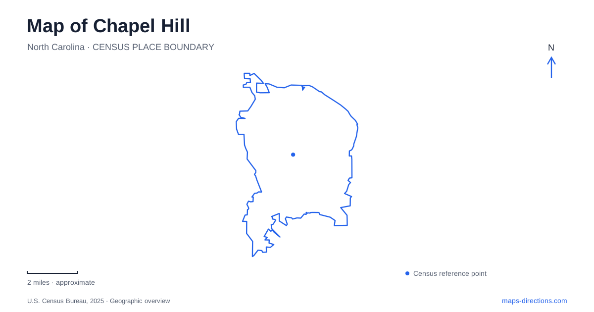
Street tiles load from OpenStreetMap when opened. The blue line shows the 2025 Census boundary.
- State
- North Carolina
- Population · July 2025
- 63,565
- Land area
- 21.6 sq mi
- Water area
- 0.2 sq mi
Chapel Hill has an unusually close relationship between its commercial center, university grounds and wooded landscapes. Franklin Street establishes the downtown edge of campus, while paths through quads, an arboretum and a forested park create other ways of moving through the central area. Farther south, botanical gardens and biological preserves occupy different terrain around creeks and former agricultural land. A useful map keeps these settings connected in the reader's mind without confusing a compact campus garden with a much larger nature reserve.
Franklin and Columbia explain the original center
The visitors bureau's historic tour identifies Franklin and Columbia as the town's first intersection and as references for the northern and western edges of the early campus. The commercial frontage of East Franklin belongs to that long relationship between town and university. Restaurants and shops face a campus landscape whose internal paths and open spaces follow a different pattern from the business street.
For central Chapel Hill, McCorkle Place provides the next layer of orientation. South of the Henderson Street intersection, the quadrangle includes the Davie Poplar and extends toward the Old Well and early university buildings on Cameron Avenue. These are linked landmarks within the historic campus, rather than separate attractions scattered across town. A close campus map reveals their arrangement around open space and pedestrian paths.
Morehead Planetarium and Science Center, at 250 East Franklin Street, sits along the same northern frontage. Its street address makes it a useful reference when moving between downtown businesses and the quieter interior of campus.
Coker Arboretum is a compact campus landscape
Coker Arboretum gives Chapel Hill a botanical setting at the corner of Cameron Avenue and Raleigh Street. The approximately five-acre grounds began as an outdoor teaching landscape developed by William Chambers Coker in 1903. Trees, shrubs, lawns and paths occupy a relatively compact site that can be understood at the scale of a campus walk.
The botanical garden's description distinguishes smooth-grit and brick paths and notes that much of the site is fairly level. That character differs from the rocky forest paths nearby. The arboretum is also part of a wider institution: the North Carolina Botanical Garden manages it, but the main display gardens are at another location. An organizational connection does not mean that the campus arboretum and the garden's visitor address identify the same grounds.
Battle Park follows the hillside beyond campus
Battle Park and the Koch Memorial Forest Theatre are located around Country Club Drive and South Boundary Street. The theatre occupies the park's southwestern corner, with a stone stage and terraced seating fitted into the hillside. Its form makes the terrain part of the cultural setting, rather than a background behind a conventional building.
The surrounding ninety-three-acre forest contains several miles of trails over uneven, sometimes steep ground. The botanical garden describes an old-growth woodland that was never clear-cut, in contrast to the deliberately planted collection at Coker Arboretum. These two green spaces therefore represent different kinds of landscape history. One organizes a teaching collection around paths and lawns; the other preserves a forest setting through which a trail network and an outdoor theatre have been placed.
The main gardens occupy a separate southern site
The North Carolina Botanical Garden's main visitor address is 100 Old Mason Farm Road. Its display gardens, exhibit spaces and plant collections belong to this location, while the Piedmont Nature Trails extend into woodland behind them. The institution's visitor guide describes trails following creeks and winding around hills, adding a natural-area component to the planted displays.
On a Chapel Hill map, the important distinction is between the central campus sites and this separate garden landscape. A visitor interested in Coker's historic arboretum should look near Cameron and Raleigh; someone seeking the main display collections should retain the Old Mason Farm Road address. Both are botanical destinations, but their relationships to streets, campus buildings and surrounding woodland differ substantially.
Mason Farm reveals the Morgan Creek bottomlands
Mason Farm Biological Reserve adds meadows, swamp forest, oak-hickory woodland and former farm infrastructure to the southern landscape. Its Old Farm Trail passes through several of those habitats, including areas where drainage ditches record earlier agricultural use. The reserve is connected by trail with Parker Preserve, creating a relationship between higher wooded ground and the lower creek landscape.
Parker Preserve, off Mount Carmel Church Road, and the low-water crossing from Old Mason Farm Road are different approaches; check the operator's arrival guidance for the intended entrance and any storm-related restrictions. The connecting trail descends toward the reserve and requires a climb on the return. This is a material difference from arriving beside a relatively level loop. Consult the operator's current access and visitor-permit information before planning that outing.
A map of Chapel Hill is most revealing when it preserves this progression from commercial street to historic quad, planted arboretum, wooded hillside and creek-bottom reserve. The places share institutional and historical connections, yet their terrain and physical locations give each a distinct role in the town's geography.
Map and statistics: U.S. Census Bureau, 2025 Gazetteer, January 2025 generalized place boundaries and Vintage 2025 population estimates. Local references: Chapel Hill and Orange County Visitors Bureau; North Carolina Botanical Garden / UNC. Article prepared by Maps & Directions.