Map of Champaign
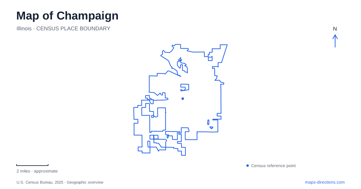
Street tiles load from OpenStreetMap when opened. The blue line shows the 2025 Census boundary.
- State
- Illinois
- Population · July 2025
- 91,195
- Land area
- 23.0 sq mi
- Water area
- 0.1 sq mi
Champaign has three central districts whose names describe different relationships to the university and the older commercial center. Downtown, Midtown, and Campustown connect through streets, transit, and the Boneyard Creek corridor, but each has a distinct focus. University Avenue and First Street help locate the space between the older downtown blocks and the student-oriented Green Street area. Recognizing that middle district makes the city more understandable than treating everything near the university as one campus neighborhood.
Illinois Terminal as a starting point
Illinois Terminal stands at 45 East University Avenue. Opened in 1999, it combines local transit with intercity bus and passenger-rail activity. Its position places travelers close to downtown while also giving access to the streets leading toward Midtown. The building serves residents, students, and regional visitors, so it is a useful orientation point even for someone whose trip does not involve a train.
The terminal's role also explains why University Avenue appears repeatedly in local directions. It is both a transport address and a cultural corridor. A visitor arriving here can begin by locating the nearby street grid before deciding whether to continue into downtown or toward the university area.
The Champaign County History Museum occupies the Cattle Bank building at 102 East University Avenue. The mid-nineteenth-century commercial structure preserves a much older layer of the same corridor. Its collections interpret county history, placing the modern transport hub close to a building associated with the community's earlier commercial development.
Midtown and the Boneyard
The city identifies Midtown primarily with University Avenue and First Street, between the Canadian National railroad tracks and the Boneyard Creek Second Street reach. That description provides physical edges for a neighborhood name that might otherwise sound imprecise. Rail infrastructure, a creek corridor, and commercial streets all help define its position.
The Boneyard Greenway links the central districts through a trail network. It is also part of a history of flood-management work. The city describes major late-twentieth-century flood-control improvements in the university district, while later creek reconstruction and paths extended the public landscape farther north. A map of Champaign can therefore show the creek as both a drainage system and a route through developed neighborhoods.
One particularly specific connection crosses Washington Street between First and Second streets. The reconstructed creek and its lighted trail continue toward the railroad to the north. This is useful detail for understanding the greenway at street level: its continuity depends on marked crossings and the relationship between paths and surrounding roads.
Green Street and the university edge
Campustown's commercial district extends along the Green Street corridor from the Illini Union toward Neil Street. Restaurants, shops, and services support student life close to the university. The city records major streetscape improvements in 2002 and 2016, reflecting deliberate investment in this heavily used urban environment.
Its relationship to Midtown is important. University Avenue and First Street identify the intermediate district, while Green Street identifies the more concentrated campus-facing commercial area. Using those street names alongside district labels helps distinguish a downtown performance, a terminal arrival, and a university-area meal without assuming all three happen in the same few blocks.
A theater and a downtown park
The Virginia Theatre is at 203 West Park Avenue. It opened on December 28, 1921 with a touring production of The Bat, followed the next evening by a Buster Keaton film. That early pairing of stage and screen remains a useful way to understand its role as a varied entertainment venue rather than a theater dedicated to only one art form.
West Side Park lies within the block bounded by University Avenue, State Street, Church Street, and Elm Street. Its 13.9 acres provide a contrasting outdoor setting near the downtown streets. Edward Kemeys's Prayer for Rain sculpture and fountain form a recognizable centerpiece, while other public artworks make the park a place for a deliberate walk as well as a pause between destinations.
The theater and park give central Champaign complementary public settings: an enclosed performance space and a landscaped gathering area. Their street locations make them understandable within the same downtown grid, even though the experience of each is quite different.
Hessel Park's neighborhood scale
Hessel Park, at 1400 Grandview Drive by Kirby Avenue, offers another kind of recreation landscape. Acquired in 1918, it includes paved paths, shelters, pickleball courts, a seasonal splash pad, and Ray Katz's Kwami sculpture. A short StoryTrail begins near the playground and splash-pad area, adding a reading activity to a family walk.
Its setting shifts the focus away from central commercial districts toward neighborhood recreation. Including Hessel in a Champaign map gives a broader view of daily public life: the city is shaped by university activity and regional transport, but also by parks that serve the surrounding residential streets.
Map and statistics: U.S. Census Bureau, 2025 Gazetteer, January 2025 generalized place boundaries and Vintage 2025 population estimates. Local references: City of Champaign; MTD; Champaign County History Museum; Virginia Theatre; Champaign Park District. Article prepared by Maps & Directions.