Map of Cedar Rapids
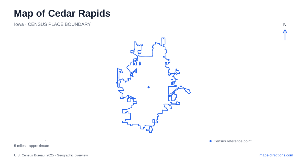
Street tiles load from OpenStreetMap when opened. The blue line shows the 2025 Census boundary.
- State
- Iowa
- Population · July 2025
- 137,935
- Land area
- 74.8 sq mi
- Water area
- 1.3 sq mi
A map of Cedar Rapids becomes more useful when the Cedar River is treated as a working part of the journey rather than a background feature. It separates destinations that belong to the same cultural district, makes bridge choice consequential and provides a reference for the central neighborhoods. The airport requires a different frame of reference altogether. Understanding these relationships helps with an ordinary address search as much as with a visit to the city's museums and market streets.
Keep the Cedar Rapids address suffix
Local addresses commonly include NE, NW, SE or SW. Retain that information, along with the distinction between a street and an avenue, when entering a destination. The city uses four quadrants in its planning and transit geography, so these suffixes carry real location information. Omitting them is particularly unhelpful when searching for a numbered road. A plausible-looking result is not sufficient evidence that the correct part of town has been selected.
Consider two cultural destinations: NewBo City Market gives its address as 1100 3rd Street SE, while the National Czech & Slovak Museum & Library uses 1400 Inspiration Place SW. Their differing suffixes are an immediate prompt to examine the river and the connecting streets. Save the full address rather than shortening both to the name of a broad district. This also makes a meeting location easier to communicate to someone arriving independently.
One cultural district, two riverbanks
Czech Village sits on the west side of the Cedar River. The neighborhood association identifies the 16th Avenue crossing as the Lion Bridge, while the tourism bureau describes the connection between the village and New Bohemia by that bridge and 3rd Street SE. This is a concrete geographic relationship, not merely a collection of nearby attraction names. A map centered only on one business can crop out the crossing that makes the larger district understandable.
For Cedar Rapids visitors combining stops on both banks, first decide whether the bridge is part of a walk or part of a driving journey. The answer changes the useful endpoint: a building entrance for one trip, a chosen parking location for another. The river itself is not an access route between street addresses. Nor does proximity across water mean that two doors are adjacent in practical terms. Preserve the crossing in the plan instead of relying on the straight-line separation of pins.
The village and museum are distinct stops
The clock tower and village arch help identify the 16th Avenue setting. The neighborhood association places the clock tower near the river and describes the view into the village from the bridge. These landmarks make useful meeting references, but the museum has its own named address on Inspiration Place SW. A museum visit should therefore use that destination rather than a generic village marker.
The distinction is useful even for a loosely planned afternoon. A district can be explored without a fixed sequence, but a timed appointment needs an exact endpoint. Identify the museum first, then assess how the village streets and bridge fit around it. This avoids assuming that an attraction's prominent roof or waterfront position tells you where its entrance is. The map should show the approach, not just the building footprint.
New Bohemia has its own street anchors
On the other side, 3rd Street SE gives New Bohemia a clear reference. The market identifies itself as a nonprofit business incubator and community gathering place, rather than as the name of the entire neighborhood. CSPS Hall and the Cherry Building appear in the district organization's cultural programming. Keeping those individual names visible produces a better local plan than treating NewBo as one undifferentiated destination.
In central Cedar Rapids, the regional economic alliance's district map also distinguishes downtown, Kingston Village and the MedQuarter from New Bohemia and Czech Village. Use these labels to understand where an address belongs, not to infer that a district boundary is a barrier. They describe destination clusters. The actual road network and river crossings determine the movement between them, and a specific venue remains the best search target.
Airport access is a separate routing task
The Eastern Iowa Airport's master plan identifies Wright Brothers Boulevard as the primary access corridor linking the airport with Interstate 380. It further separates the passenger terminal approach on Arthur Collins Parkway SW from cargo access on Cessna Place SW. That distinction is essential: an airport covers far more land than its passenger entrance, so the nearest point on its boundary may be the wrong destination entirely.
For a Cedar Rapids airport trip, select the passenger terminal or the relevant facility explicitly. Retain the airport code CID when checking that the correct result has appeared. A downtown river map is useful for the city portion of a journey, while the terminal approach needs its own close view. Reading those two scales separately gives the trip a clear beginning and end without inventing travel times or assuming that all airport roads serve the same purpose.
Map and statistics: U.S. Census Bureau, 2025 Gazetteer, January 2025 generalized place boundaries and Vintage 2025 population estimates. Local references: City of Cedar Rapids; NewBo City Market; National Czech & Slovak Museum & Library; Czech Village Association; Cedar Rapids Tourism; The District; Cedar Rapids Metro Economic Alliance; Eastern Iowa Airport. Article prepared by Maps & Directions.