Map of Cedar Park
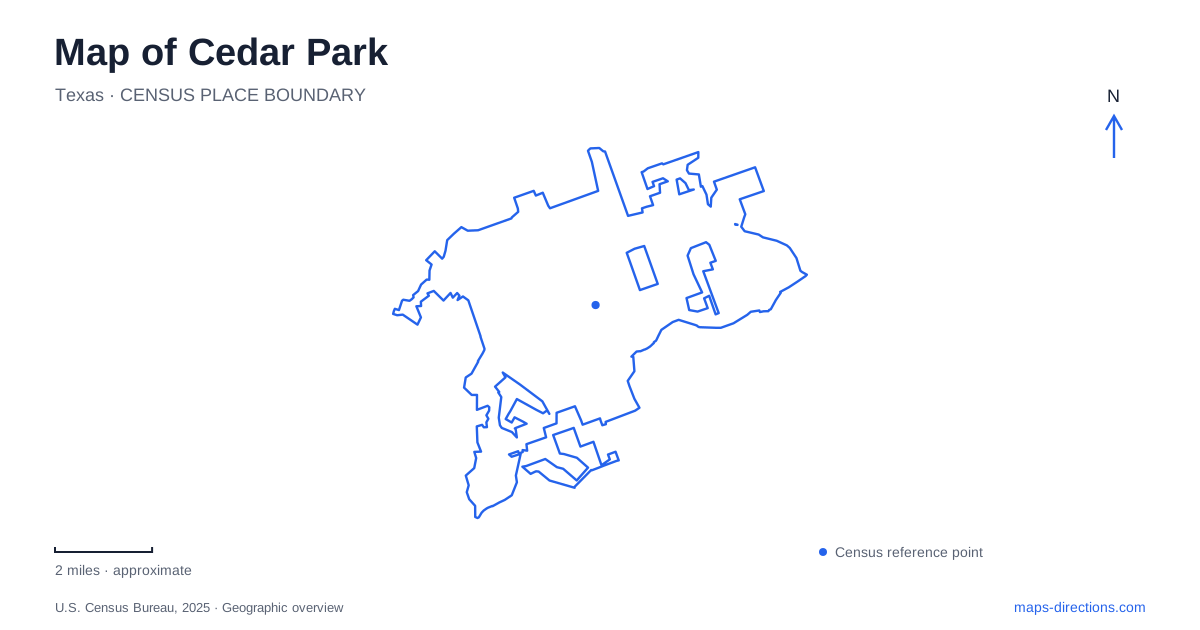
Street tiles load from OpenStreetMap when opened. The blue line shows the 2025 Census boundary.
- State
- Texas
- Population · July 2025
- 79,032
- Land area
- 25.6 sq mi
- Water area
- 0.2 sq mi
Cedar Park has several strong geographic reference points rather than one traditional downtown core. Bell Boulevard relates to the developing Bell District, Whitestone Boulevard serves the excursion-train depot, and Brushy Creek organizes a chain of parks and trails. Farther across the city, New Hope Drive leads to a large recreation and memorial landscape. Reading these places together helps distinguish the urban redevelopment areas from the creek corridor and the broader road network.
Bell District and the library's new setting
The Bell District is a 54-acre redevelopment project intended to create a walkable mixture of public spaces, residences, and commercial uses. The public library and Bell Park serve as anchors for that effort. The district is still described by the city as developing, so its broader vision should be distinguished from individual places already available to visitors.
The library's current address is 425 South Parkwest Drive. Older public-art listings still associate library artwork with the former Discovery Boulevard location, illustrating how different generations of local information can describe different settings. The Parkwest address places a library visit within the Bell District's emerging public landscape.
Bell Park supplies approximately 15 acres of play areas, natural spaces, and art near the library. This pairing gives Cedar Park a civic destination that combines indoor activity with outdoor gathering space. It also changes the way the Bell Boulevard area appears on a local map: the district is organized around a set of public destinations as well as the road that gave the redevelopment effort its name.
Whitestone's rail depot and excursion routes
The Austin Steam Train Association's depot and museum occupy 401 East Whitestone Boulevard, Suite C-100. Whitestone is also identified as RM 1431 in the operator's directions. Both names therefore describe the road serving this particular departure point, which sits in the Depot shopping center.
The association also uses depots in Bertram and Burnet. That wider geography is part of the rail experience: a train associated with the organization does not necessarily begin at the Whitestone location. Its own directions emphasize the departure depot printed for each trip. The distinction is especially useful when an excursion name refers to a destination farther along the railway rather than to the boarding point.
This heritage-rail setting adds a different transportation layer to Cedar Park. The surrounding commercial roads serve everyday local travel, while the depot provides access to preserved passenger equipment and journeys beyond the city. On a map, the railroad can be read as a regional thread passing through the urban area, not simply as another line paralleling nearby streets.
Brushy Creek's parks form a connected landscape
Brushy Creek Lake Park is at 3300 Brushy Creek Road. Its 90-acre grounds include a 38-acre lake, nature and multi-use trails, a canoe and kayak launch, picnic areas, and a splash pad. The lake supports fishing and nonmotorized boating; swimming is not permitted. This makes the waterbody an important recreational feature without making it a swimming beach.
Brushy Creek Sports Park, at 2310 on the same road, concentrates more heavily on playing fields and the skate park. The shared creek and road names can make these destinations seem like parts of a single facility, but the different activity patterns are clear on the park maps. One centers on the lake and natural setting; the other provides a more sports-oriented collection of spaces.
The regional trail ties this landscape to Twin Lakes Park and parks farther east, including Champion and Creekside. The county's maps show how the route follows the creek across a wider area than the municipal boundary. At its southern end, the separate 183A Trail connects with the creek trail by a pedestrian bridge. That paved route continues north alongside the toll-road corridor toward Leander, adding a regional north-south connection to the creek's east-west geography.
Memorial landscape and outdoor sculpture
Veterans Memorial Park occupies 2525 West New Hope Drive. Memorial Hill and the Pathway of Heroes share the larger park with sports areas, an aquatic facility, a community garden, and the five-acre dog park. The memorial walkway includes life-size bronze figures and commemorative pavers, creating a focused place of remembrance within a broader recreation destination.
The sculpture garden beside the recreation center at 1435 Main Street offers another way to encounter public art in Cedar Park. Many works rotate through the exhibition, so the garden's setting is more enduring than any one list of sculptures. Its relationship to the recreation center makes art part of an everyday public facility rather than a separate museum outing.
Together, these places reveal several ways the city has organized public life: a library and park within a new district, a depot connected to regional rail history, recreation along a creek, and art within civic grounds. A map of Cedar Park becomes more useful when those distinct settings remain visible alongside the major roads connecting them.
Map and statistics: U.S. Census Bureau, 2025 Gazetteer, January 2025 generalized place boundaries and Vintage 2025 population estimates. Local references: City of Cedar Park; Austin Steam Train Association; Williamson County; Central Texas Regional Mobility Authority. Article prepared by Maps & Directions.