Map of Cedar City
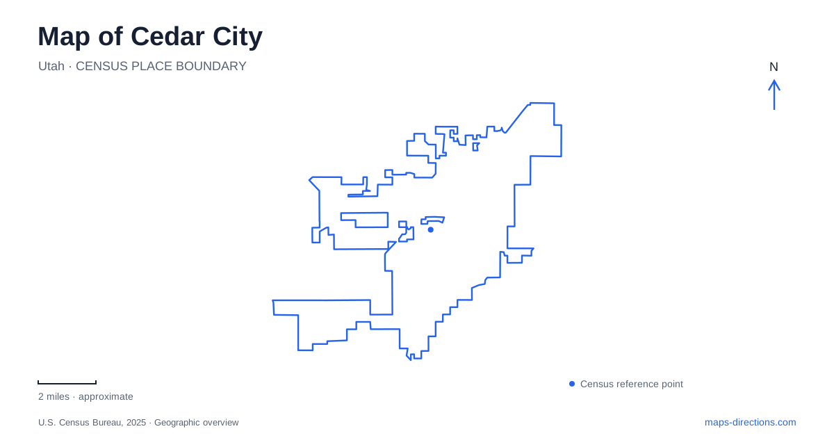
Street tiles load from OpenStreetMap when opened. The blue line shows the 2025 Census boundary.
- State
- Utah
- Population · July 2025
- 41,871
- Land area
- 36.3 sq mi
- Water area
- 0.0 sq mi
Cedar City stands where Coal Creek leaves the mountains for a much more open landscape to the west. That transition helps explain both the original ironworks settlement and the routes used today. Main Street organizes the central district, the creek supplies a continuous outdoor corridor, and Southern Utah University adds a substantial cultural destination near the older residential blocks. East Center Street leads toward the canyon, but the high-elevation parks beyond it remain separate journeys from the city's own attractions.
Coal Creek shaped the settlement
The first settlement in 1851 was established to support iron production. Its position near Coal Creek connected the community to the water and resources needed for that undertaking. The name Fort Cedar came from trees settlers called cedars, although they were junipers. Even the city name therefore preserves an early interpretation of the surrounding landscape.
Floodplain concerns influenced the developing town. In 1855, a new site was surveyed closer to the blast furnace and outside the creek's floodplain. The ironworks failed in 1858, after which agriculture became more important, although mining continued as a regional industry. These changes explain why the present community cannot be understood solely as a surviving industrial company town.
Railroad arrival in 1923 gave Cedar City another role. It supported the movement of iron products and helped bring tourists to southern Utah's national parks. The transport story consequently joins industry and tourism: a route serving material production also helped establish the city's position as a starting place for regional travel.
A walking corridor through the city
The Coal Creek Trail follows the watercourse from Bicentennial Park past ball fields and the veterans memorial area, through East Canyon Park and toward Cedar Canyon. Underpasses and bridges allow the route to negotiate major streets. This gives the creek a practical connective role within the developed city rather than leaving it as a feature visible only from road crossings.
Ann J. Gardner Canyon Park, at 151 South 400 East, is a named trail access point near the canyon side of town. The regional tourism trail description identifies crossings beneath Highway 14 and Main Street and connections with the Cedar Canyon and East Bench routes. Those relationships make it possible to understand the trail as part of a network with different branches, rather than assuming every sign refers to a single out-and-back walk of fixed length.
Historic homes and the arts district
The designated historic district covers blocks from Shakespeare Lane to 200 South and from 100 West to 300 West. Its houses represent architectural styles from the late nineteenth century into the mid-twentieth century. This is a residential layer of Cedar City history, complementing the industrial story along the creek and the commercial activity associated with Main Street.
Nearby, Southern Utah University's Beverley Taylor Sorenson Center for the Arts brings the Utah Shakespeare Festival and Southern Utah Museum of Art into a shared setting. The center opened in 2016. Its performance spaces, galleries, plazas and sculpture areas make the campus edge a public cultural destination, with outdoor circulation joining several different buildings and activities.
The proximity of historic houses and university arts spaces produces a useful walking-scale contrast. Domestic architecture records the growth of a settled community, while the arts center represents a later investment in performance, exhibitions and education. Both contribute to the central district without requiring a drive to the mountain recreation areas that often dominate regional travel descriptions.
Main Street's museum and the distant ironworks
Frontier Homestead State Park Museum stands at 635 North Main Street. Its wagons, historic structures and industrial exhibits interpret settlement and work in the region. A large ore shovel and a railroad caboose make the mining and transportation themes visible even before considering the smaller objects and buildings within the museum grounds.
Old Iron Town is a separate site roughly 25 miles west of Cedar City, although it is managed by the museum's staff. Its ironworks ruins and preserved charcoal oven belong to a different physical location. The shared management and related subject matter can make the names appear together in travel material, but a museum visit on Main Street and a trip to the ruins have different geographic scopes.
Where the canyon road leads
East Center Street becomes Utah Highway 14, climbing toward the high country. The National Park Service's approach to Cedar Breaks from the city uses Highway 14 and then Highway 148. The monument's administrative mailing address is in town, which should not be confused with its mountain visitor destination.
Reading Cedar City at both scales keeps its character clear. The creek, residential district, university arts spaces and museum form a substantial local landscape. The canyon highway then extends that picture outward into higher terrain, following a route whose destination and setting differ markedly from the streets at the mountain's base.
Map and statistics: U.S. Census Bureau, 2025 Gazetteer, January 2025 generalized place boundaries and Vintage 2025 population estimates. Local references: City of Cedar City; Visit Cedar City / Iron County Tourism; Southern Utah University; National Park Service. Article prepared by Maps & Directions.