Map of Cathedral City
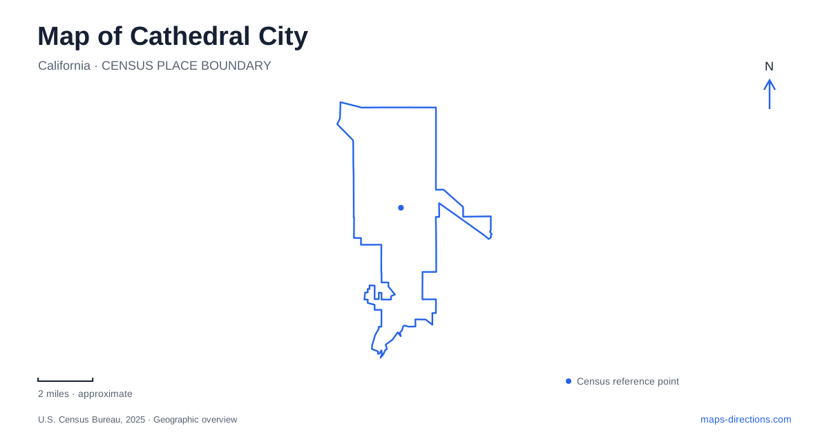
Street tiles load from OpenStreetMap when opened. The blue line shows the 2025 Census boundary.
- State
- California
- Population · July 2025
- 52,375
- Land area
- 22.5 sq mi
- Water area
- 0.3 sq mi
Cathedral City combines an arts-focused downtown with residential neighborhoods spread across a desert landscape of washes and mountain edges. Avenida Lalo Guerrero organizes the civic and entertainment area, while Date Palm Drive provides another important local reference. The Cove adds a different setting associated with artists and the foothills. A useful map shows these relationships rather than treating the entire community as an extension of neighboring Palm Springs.
Avenida Lalo Guerrero and the civic cluster
Town Square sits directly in front of City Hall at 68701 Avenida Lalo Guerrero. Public art and landscaped gathering areas give it a role beyond being the address of municipal offices. Along the same avenue, the community amphitheater is at 68526, while the Festival Lawn is listed at 68600. These addresses describe a cluster of civic and event spaces rather than attractions scattered throughout the valley.
The Fountain of Life is the square's best-known art feature. Artist Jennifer Johnson worked with architect Reuel Young on its design, using carved stone, mosaic tile, and glass. Older visitor descriptions emphasized interactive water play, but the city announced in 2023 that the work would transition to a visual art piece because of condition and safety concerns. It is therefore more appropriate to approach it as public sculpture than to plan a swimming or splash-play stop around an old description.
Other art around the civic district includes bronze representations of George Montgomery, Buddy Rogers, and Lalo Guerrero. The subjects connect entertainment history with the street and public-space names encountered nearby. This makes the downtown a place where the map's labels and the artwork can be read together.
Theater along East Palm Canyon Drive
Coachella Valley Repertory is at 68510 East Palm Canyon Drive. Its operator identifies entrances on both Highway 111 and Avenida Lalo Guerrero, showing how the theater relates to the civic cluster on the adjoining street. The box-office windows face the highway, while another entrance serves the avenue side.
For a Cathedral City performance visit, this relationship is more useful than simply locating the theater building. It explains how a major valley road and the smaller downtown event spaces fit together. The Mary Pickford Theatre and the community amphitheater add different kinds of entertainment to the same broader district, so the venue name should remain attached to the event rather than being shortened to a general downtown destination.
The Cove's artistic history
The Cove has a longer association with painters, photographers, and writers than the newer civic venues suggest. Agnes Pelton moved to the community in 1932 and later built her home and studio at 68680 F Street. The public-art program identifies this street with the commemorative name Agnes Pelton Way. Her work included both desert landscapes and abstraction, providing an artistic connection to the surroundings that goes beyond conventional scenic painting.
This history gives a residential part of Cathedral City a distinct identity. The home and studio belong to that story, but a historic address should not be assumed to offer everyday museum access. The broader value for a map reader is recognizing the Cove as an established creative neighborhood, with its own pattern of homes and foothill setting, rather than looking only for formal galleries around City Hall.
Parks distributed among neighborhoods
The park network is spread across several streets away from the downtown cluster. Panorama Park is on Avenida Maravilla and includes sports courts, a playground, and a dog park. Ocotillo Park, on Moreno Road, combines recreation facilities with a skateboard area. Dennis Keat Soccer Park is on 30th Avenue, giving field-based activities another distinct destination.
These locations help explain the residential geography of Cathedral City. A family attending a soccer game, a skateboarder, and someone seeking the civic art collection are heading toward different public spaces. Choosing by the named facility makes the route purposeful and avoids treating the most prominent downtown landmark as the starting point for every local activity.
Reading the washes as part of the city
The Whitewater stormwater corridor and the washes descending from the southern canyons are important features of the landscape. The city's general plan distinguishes the Whitewater system from East and West Cathedral Canyon washes and Eagle Canyon Wash. These channels explain open corridors and drainage structures that may otherwise seem like gaps in the developed street pattern.
On a map of Cathedral City, the terrain and watercourses provide the larger framework behind the civic district and neighborhoods. Downtown gathers cultural activity around a few closely related streets, the Cove carries an older artistic history, and neighborhood parks serve the wider residential area. Understanding those layers makes the city legible as a place shaped by both desert geography and deliberate public investment.
Map and statistics: U.S. Census Bureau, 2025 Gazetteer, January 2025 generalized place boundaries and Vintage 2025 population estimates. Local references: City of Cathedral City; Coachella Valley Repertory; Cathedral City Public Arts. Article prepared by Maps & Directions.