Map of Carson
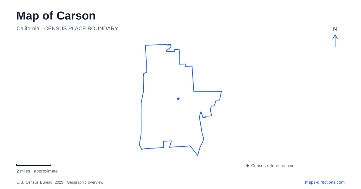
Street tiles load from OpenStreetMap when opened. The blue line shows the 2025 Census boundary.
- State
- California
- Population · July 2025
- 90,808
- Land area
- 18.7 sq mi
- Water area
- 0.2 sq mi
Carson brings together a university created to broaden educational access, a major sports complex and an unusual working collection of printing equipment. Its place names also preserve connections to Rancho San Pedro, an estate whose historical reach was much larger than any present municipal boundary. These features provide useful anchors for a map. They explain why a campus, stadium and nearby adobe can share parts of a regional story while requiring separate destinations and different approaches.
A university location shaped by access
California State University, Dominguez Hills was authorized in 1960 under an earlier college name. Its first classes took place in temporary quarters in Rolling Hills Estates. After the 1965 Watts Rebellion, Governor Pat Brown supported a location that would better serve surrounding urban communities and residents who had faced barriers to higher education. The permanent campus opened in October 1968, the same year the city incorporated.
The university's account of its origins makes Carson's campus location a social-history fact, not merely an available parcel on a planning map. The Dominguez Hills site was chosen with accessibility to education in mind. Architect A. Quincy Jones prepared the campus master plan and participated in its physical development. That planned institutional landscape differs from a neighborhood street grid: a street address identifies the campus, while individual buildings and pedestrian routes require a closer view.
The university gives 1000 East Victoria Street as its main address. Its visitor information includes campus and indoor maps, driving approaches and parking guidance. Someone attending an appointment should identify the building as well as the campus entrance. This is particularly useful when a destination search returns the university as one large point, obscuring the distance between a parking area, a classroom and a service office.
Sports venues within the broader campus
Dignity Health Sports Park occupies a 125-acre site on the university campus in Carson. Its facilities include the LA Galaxy's home stadium, tennis grounds, a track-and-field venue and the indoor VELO Sports Center. The complex is therefore several sporting destinations under one name. A cycling event and a soccer match need not have the same entrance arrangements simply because their tickets name the same park.
The venue's address is on Avalon Boulevard, whereas the university's general address is on Victoria Street. That difference is a practical reason to use the specific event instructions. Treating a sports ticket as an ordinary university visit can produce an inconvenient arrival on the wrong side of the complex. The sports park also hosts private events and other gatherings, so the activity named in a reservation matters alongside the location label.
Printing equipment with a working purpose
The International Printing Museum adds a different kind of destination to Carson at 315 West Torrance Boulevard. Founded in 1988 in Buena Park, the museum moved to its present city in 1998 after transportation authorities acquired its former property. Its founding date and arrival date consequently describe two different stages in the institution's history.
The collection includes presses, typesetting and typecasting equipment, wood type, lithographic stones and book-arts tools. Materials from the Colby Poster Printing Company and Earl Hays Press broaden the story beyond one collector. These objects show that printed communication depended on machinery, skilled labor and physical processes, long before a document could be produced entirely on a screen.
Demonstrations, workshops and educational programs are central to the museum's interpretation. It is useful to choose the kind of visit before arriving: general public access and reserved weekday programs follow different arrangements. A map symbol cannot indicate whether a particular press demonstration or workshop is taking place. The institution's working focus makes the calendar part of understanding the destination rather than an incidental detail.
Rancho history beyond the city boundary
The Dominguez Rancho Adobe Museum is a nearby historical connection in Rancho Dominguez, with an address on South Alameda Street. It should not be presented as though it were inside Carson merely because the university, city and museum share a regional past. The museum interprets Rancho San Pedro, granted to Juan José Dominguez in 1784, and the family's long involvement with the land.
The grounds also recall the 1910 aviation meet, when spectators gathered to watch early aircraft. Later, the adobe served educational purposes for the Claretian missionaries before becoming a museum in 1976. These changes make the property more than a preserved ranch residence. When placing it beside the university and sports park on a regional map, distinguish historical land connections from modern boundaries. The larger pattern is a landscape repeatedly adapted for agriculture, education, public exhibitions and recreation, with each surviving destination representing a particular part of that transformation.
Map and statistics: U.S. Census Bureau, 2025 Gazetteer, January 2025 generalized place boundaries and Vintage 2025 population estimates. Local references: California State University Dominguez Hills; CSUDH Magazine; CSUDH; Dignity Health Sports Park; International Printing Museum; Dominguez Rancho Adobe Museum. Article prepared by Maps & Directions.