Map of Carson City
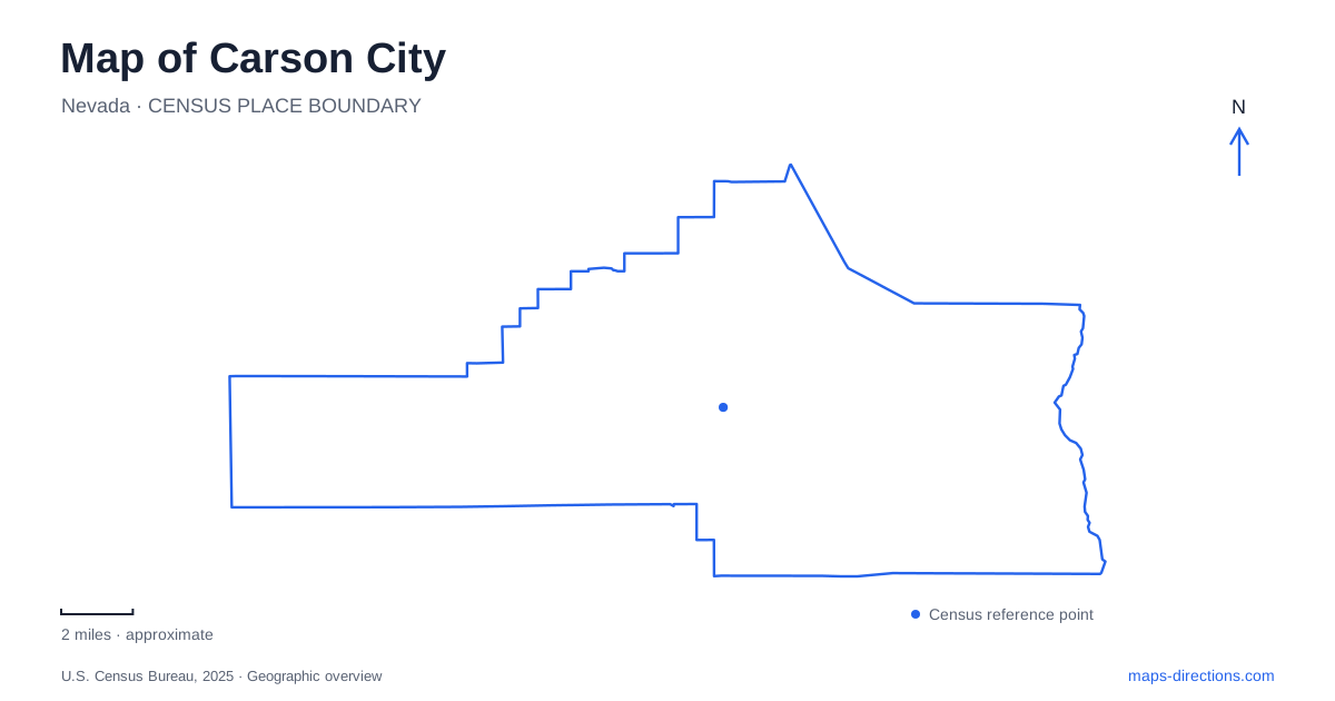
Street tiles load from OpenStreetMap when opened. The blue line shows the 2025 Census boundary.
- State
- Nevada
- Population · July 2025
- 58,571
- Land area
- 144.5 sq mi
- Water area
- 12.6 sq mi
Carson City offers several distinct ways to read Nevada's history in the landscape. The Capitol and former mint establish a central government and commercial corridor, while west-side streets preserve a different scale of houses and churches. Farther south are the railroad museum and Stewart Indian School campus. Eastward, the Carson River trail network shifts attention from buildings to sagebrush, wetlands, and the riverbank. These places form a varied map rather than one compact museum district.
North Carson Street and the historic west side
The State Capitol stands at 101 North Carson Street, while the Nevada State Museum occupies the former mint at 600 North Carson Street. Those addresses establish a clear north-south relationship between two important landmarks. The Capitol complex also includes the Legislative Building, Supreme Court, and State Library and Archives, giving the central grounds a wider civic function than the historic building alone.
The Kit Carson Trail extends through the historic west-side neighborhood. Its roughly two-and-a-half-mile route includes Victorian-era houses, churches, and museums. The published map follows streets such as Curry, Nevada, Division, Robinson, and Musser, showing a route woven through ordinary blocks rather than a separate recreational trail.
This is a useful distinction when exploring Carson City on foot. The route's interest comes from successive buildings and their relationships to the street grid. A short section can concentrate on the Capitol and museum corridor, while a longer walk can continue into the residential streets to compare architecture and the different periods represented by individual houses.
The mint and the railroad belong to different sites
The former mint's industrial history is still part of the Nevada State Museum's identity. The museum's own account describes coin presses, refining work, and the smoke and cordwood associated with mint operations. Its later conversion into a museum culminated in an opening in 1941. The building therefore represents both the production of money and the preservation of state history.
The Nevada State Railroad Museum is farther south at 2180 South Carson Street. Its separate address matters because it is a different institution with its own grounds and exhibits. The railroad museum also offers train rides on selected dates rather than as an automatic part of every museum visit.
For a history itinerary in Carson City, these two museums introduce different forms of infrastructure. The mint speaks to the processing and coinage of precious metals; the railroad museum addresses the equipment and systems that moved people and materials. Their shared Carson Street reference makes the relationship straightforward to visualize without assuming that both are housed in the same downtown complex.
Stewart's stone buildings and recorded voices
The Stewart Indian School Cultural Center and Museum occupies a former boarding-school campus in the southern part of the city. Its current visitor information lists 1 Jacobsen Way, while broader campus and trail materials also use Snyder Avenue. The walking tour locates numbered stops beside individual buildings, connecting the campus layout with recorded accounts from alumni and former employees.
The tour includes the administration building, dormitories, auditorium, and steam-tunnel system. Its interpretation describes stone buildings constructed by students taught by Hopi stonemasons. The accounts also address the routines and rules experienced by children who attended the school, making the campus a place to consider lived experience rather than architecture alone.
This setting adds an essential dimension to Carson City history. A map can show a collection of attractive stone structures, but the voices attached to them explain what those spaces meant to the people who lived and worked there. Following the numbered stops allows the physical arrangement of the campus to support that interpretation.
Fifth Street leads toward the river landscape
Riverview Park is reached at the eastern end of Fifth Street, with the city listing 600 Marsh Road as its address. Its trails pass through upland sagebrush, wetlands, and the Carson River's riparian corridor. The park also connects north toward Empire Ranch Trail and south along Mexican Ditch Trail, making it part of a larger river-area network.
Those connections give eastern Carson City a different walking geography from the historic west side. Here, routes follow habitat and water rather than a sequence of house fronts. The meeting of dry upland vegetation and wetter ground is part of the park's character, and the river provides a natural organizing line beyond the downtown streets.
A visit can therefore be arranged around a particular landscape: civic buildings and neighborhood architecture, museum grounds, the Stewart campus, or the river corridor. The named streets and trail connections reveal how these experiences fit together while allowing each place enough time to tell its own story.
Map and statistics: U.S. Census Bureau, 2025 Gazetteer, January 2025 generalized place boundaries and Vintage 2025 population estimates. Local references: Visit Carson City; Nevada State Museum; Nevada State Railroad Museum; Stewart Indian School Cultural Center and Museum; Nevada Indian Commission; Carson City. Article prepared by Maps & Directions.