Map of Carrollton
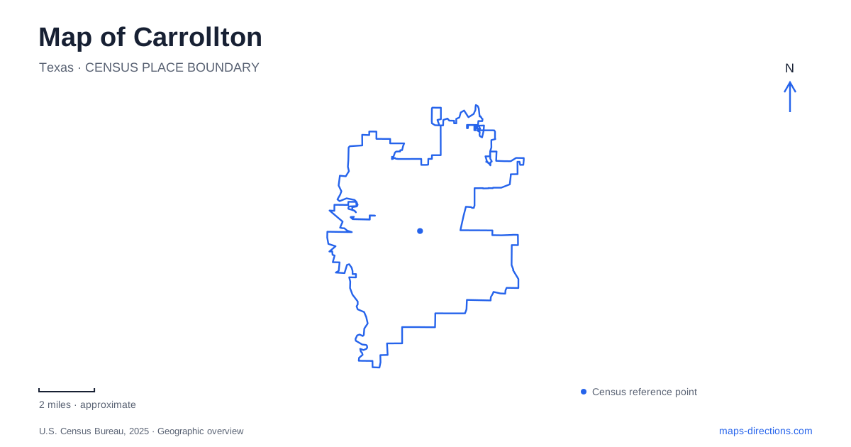
Street tiles load from OpenStreetMap when opened. The blue line shows the 2025 Census boundary.
- State
- Texas
- Population · July 2025
- 134,562
- Land area
- 36.6 sq mi
- Water area
- 0.8 sq mi
Carrollton has two useful systems of orientation that a simple city-center map can miss. Rail stations distinguish downtown from Trinity Mills and the northern end of the Green Line, while creek and river corridors organize several recreation destinations. These systems overlap with the road network but do not replace it. A trip to a platform, a historic commercial area or a woodland trail should begin with the specific place name, because similar regional labels can otherwise conceal quite different arrival points.
Downtown is one station, not the whole rail corridor
DART identifies Downtown Carrollton Station at 1013 North Denton Drive. The complete station name matters because Trinity Mills and North Carrollton/Frankford are separate Green Line stops. A visitor who chooses a result merely because it contains the city's name may select a different point along the corridor. Keep the station name visible when comparing a rail itinerary with the location of a downtown business or event.
The municipality describes Broadway as a corridor connecting the Trinity Mills area toward historic downtown. This relationship helps explain the wider map, but it does not make the two districts one destination. Downtown's commercial streets and the rail platform should also be treated as distinct endpoints within the same area. A train arrival identifies where the rail journey ends; the address of the actual venue determines the remaining street-level movement.
Trinity Mills is a transfer reference
The Denton County Transportation Authority identifies Trinity Mills as the connection between its A-train and DART's Green Line. That makes the station a useful regional reference for journeys involving Denton County. It is not simply another spelling of the downtown stop. A map reader should distinguish the interchange function from the surrounding development area, especially when a search returns both station information and property-development descriptions.
For a Carrollton rail journey, determine which service and transfer point the trip requires before selecting parking or a meeting place. A line drawn continuously across a regional diagram can represent a connection between different services rather than one train running through. The diagram explains the network; the operator's itinerary and station information explain the actual trip. This article does not substitute an old timetable or a future planning map for current service details.
The preserve is inside a larger sports complex
Elm Fork Nature Preserve is listed at 2335 Sandy Lake Road, within McInnish Sports Complex and west of Interstate 35E. Its history is unusual: the municipality describes woodland purchased as a family woodright that was never clear-cut before being given to the city. That helps explain why a wooded nature destination appears within a larger recreation setting. The sports-complex label and preserve label refer to related but different levels of the map.
Use the preserve or nature-center destination for a woodland visit rather than selecting an arbitrary sports field. Once inside a large complex, the nearest visible activity area may not be the intended one. The preserve's trail map supplies the internal detail that the Sandy Lake Road address cannot. Its interpretive center is also a separate facility from the outdoor trails; finding one on the map does not establish access to the other at every time.
Furneaux Creek provides a different green corridor
The city's natural-areas material describes Greenbelt Park along Furneaux Creek, where woods, meadows and ponds occupy the corridor toward the Elm Fork of the Trinity River. It lists a Crooked Creek Drive address for that park. This is a different destination from the nature preserve inside McInnish. Their shared connection to the wider drainage landscape does not mean that they have the same entrance or trail layout.
The same municipal material identifies a Furneaux Creek nature-trail initiative associated with Arbor Creek Drive. It distinguishes natural enhancements from the broader paved trail system. That is a useful reminder to identify a particular segment, surface and access location rather than searching only for the creek name. A green corridor can contain several experiences, and a watercourse on a city map is not automatically a continuous public path.
River access is not the same as woodland access
Another named site, the Dimension Tract, is listed on Elm Park Drive with a pond, wetlands and a canoe and kayak launch on the Elm Fork. It should be treated as its own destination rather than an alternative entrance to every nearby natural area. The presence of a launch is especially relevant for someone carrying watercraft; a preserve trailhead is not an equivalent arrival point merely because both lie within the river landscape.
A practical Carrollton map therefore keeps the station sequence and recreation sites separate and explicit. North Denton Drive identifies the downtown rail arrival, Trinity Mills identifies the A-train transfer, Sandy Lake Road identifies the preserve's larger complex, and the creek-side addresses identify other outdoor access points. Use those concrete references to choose the correct detailed map. They provide useful local orientation without inventing travel times or implying that every mapped connection is open and usable.
Map and statistics: U.S. Census Bureau, 2025 Gazetteer, January 2025 generalized place boundaries and Vintage 2025 population estimates. Local references: DART; City of Carrollton; Denton County Transportation Authority. Article prepared by Maps & Directions.