Map of Cape Girardeau
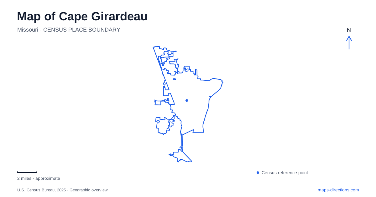
Street tiles load from OpenStreetMap when opened. The blue line shows the 2025 Census boundary.
- State
- Missouri
- Population · July 2025
- 40,977
- Land area
- 29.3 sq mi
- Water area
- 0.1 sq mi
Cape Girardeau's Mississippi River setting is visible in several very different places: a bluff associated with an early trading post, a downtown floodwall covered with murals, and a former seminary adapted into an arts campus. Inland parks and surviving Civil War earthworks add further layers. Following those specific places reveals how river commerce, defense, education, and public recreation shaped the city.
The floodwall as a downtown history gallery
Water Street provides a useful reference for the downtown murals. The tourism guide places Mississippi River Tales at Broadway and Water Street and the Missouri Wall of Fame near Independence and Water Street. Both use the floodwall as their setting, but their subjects differ.
Mississippi River Tales extends roughly 1,100 feet through twenty-four historical panels. Interpretive markers explain the scenes, allowing a visitor to follow a sequence of local and regional stories. The Wall of Fame instead presents notable people connected with Missouri. Together they turn a long piece of flood-control infrastructure into a place for examining history and public memory.
The distinction matters on a map of Cape Girardeau because the riverfront is more than a scenic edge. The wall separates and protects downtown from the river, while the artwork gives its town-facing surface an additional public role. Broadway and Independence Street serve as practical reference points along that longer feature rather than identifying two unrelated mural districts.
Cape Rock and the altered bluff
Cape Rock Park lies in the northeastern part of the city on the Cape Rock Drive corridor. The municipal park description identifies the location with the early trading post associated with the city's name and emphasizes its Mississippi River outlook. Much of the park remains undeveloped, particularly the natural area on its western side.
The city's history adds an important qualification to the landform: a substantial part of the original cape was removed for railroad construction. The remaining bluff and its commemorative plaque therefore represent a landscape that has changed, not a completely untouched survival of the trading-post era.
This gives the overlook a different purpose from the downtown mural walk. One presents history through images along an engineered barrier; the other allows the surviving topography to explain part of the city's beginning. Both face the Mississippi, but they occupy separate settings and reward different kinds of attention.
Fort D and the city's defensive landscape
During the Civil War, Union forces constructed four fortifications around Cape Girardeau, designated A through D. Fort D is the one that retains its physical form as an earthen military installation. The city's historical account distinguishes its survival from the April 1863 fighting, which involved artillery at Forts B and C during an attack from the west.
Fort D's earthworks should also be distinguished from the blockhouse on the site at 920 Fort Street. The municipal preservation inventory dates that building to the Works Progress Administration period around 1936. Its later origin does not diminish the site's interest, but it changes how the visible structures should be interpreted.
A visit thus brings together two periods: the surviving wartime landscape and a twentieth-century building subsequently used in public interpretation. Understanding that sequence avoids treating every feature within a historic site as contemporary with the event it commemorates.
River Campus and the former seminary
Southeast Missouri State University's River Campus occupies the former St. Vincent's College and Seminary property beside the Mississippi. The university obtained approval to purchase the grounds in 1998 and developed them into an arts setting. Its facilities support art, dance, music, and theatre, with venues including Bedell Performance Hall, the Rust Flexible Theatre, and Shuck Music Recital Hall.
The university's main campus and River Campus are distinct locations within Cape Girardeau. The River Campus office address is 518 South Fountain Street, a useful reference for understanding the arts complex's relationship with the riverfront. Its seminary history also explains why older institutional architecture appears within a modern university destination.
Capaha's inland recreation setting
Capaha Park, at Broadway and West End Boulevard, supplies another major public landmark near the university. Opened in 1914, it is the oldest park in the municipal system. Its facilities include a baseball field, fishing pond, shelters, playgrounds, a bandshell, garden, and disc golf.
The city completed substantial pond and garden improvements in 2023, including new fishing piers, boardwalks, paths, and accessible features. This gives the older park an ongoing role in daily recreation while preserving its long-established position in the city.
Together, the floodwall, bluff, fort, campuses, and park make Cape Girardeau readable through distinct historical and geographical relationships. The Mississippi remains a common thread, but each destination shows a different response to the river and the community that developed beside it.
Map and statistics: U.S. Census Bureau, 2025 Gazetteer, January 2025 generalized place boundaries and Vintage 2025 population estimates. Local references: Visit Cape; City of Cape Girardeau; Southeast Missouri State University. Article prepared by Maps & Directions.