Map of Cambridge
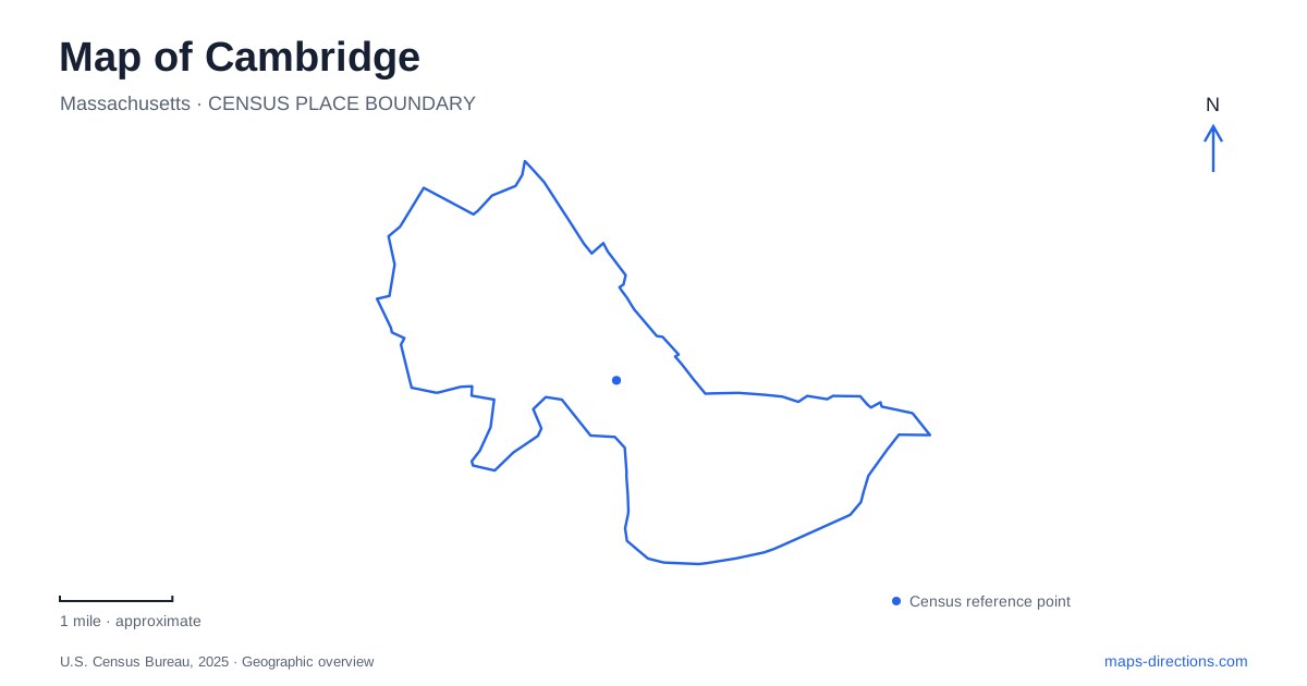
Street tiles load from OpenStreetMap when opened. The blue line shows the 2025 Census boundary.
- State
- Massachusetts
- Population · July 2025
- 122,588
- Land area
- 6.4 sq mi
- Water area
- 0.7 sq mi
Cambridge makes more sense as a network of squares than as a single downtown surrounded by suburbs. Harvard, Porter, Central, and Kendall are different destinations with different relationships to universities, commerce, and the river. A useful map keeps these centers visible together, then enlarges the particular square relevant to the trip. Starting with a university name alone can obscure the surrounding city: academic buildings share streets with shops, homes, parks, and transit entrances. The square and the street often explain an address better than the institution associated with it.
Follow the avenue between Harvard and Porter
Massachusetts Avenue connects Harvard Square and Porter Square, two commercial and transit centers at corners of Neighborhood Nine. This is a helpful first line to trace across a Cambridge map. It establishes a continuous street relationship between places that may otherwise appear as isolated transit labels. The intervening avenue is itself a commercial area, so an address between the squares should not automatically be assigned to whichever station name is more familiar.
Neighborhood Nine also illustrates how the city changes away from that corridor. Concord Avenue has a smaller commercial strip, while the Fresh Pond Shopping Center forms a separate shopping concentration to the west. Harvard academic buildings and student housing extend into the neighborhood. These overlapping uses make the neighborhood more complicated than a simple campus outline, but they also provide several recognizable reference points for locating an unfamiliar street.
For a trip involving both squares, compare the actual addresses along the avenue before treating them as two separate excursions. For a destination on Concord Avenue, shift attention to that street rather than continuing to search along the main commercial corridor. The important distinction is between following a recognizable district name and following the street that actually organizes the destination.
Read Kendall through Main Street and the river
The city's Kendall Square map places the Kendall/MIT station on Main Street, with Ames, Wadsworth, and Carleton streets nearby. MIT buildings extend toward Memorial Drive and the Charles River. Broad Canal and Broad Canal Way provide another geographic reference on the square's riverward side. Together these features give Kendall a different map pattern from the avenue connection between Harvard and Porter.
When navigating this part of Cambridge, separate three scales: the square around Main Street, the university buildings named in an appointment, and the river edge along Memorial Drive. A meeting described as being near MIT may belong to any of these surroundings. Building and street names therefore carry more useful information than a broad campus search. Broad Canal is also a specific water feature within this urban setting, rather than an alternative name for the Charles.
The municipal commercial district inventory separately identifies Central Square, Inman Square, Kendall Square, and Lower Massachusetts Avenue. That distinction is useful when comparing accommodation or arranging several stops. A description using one square's name should not be silently expanded to cover all the neighboring districts. Keeping each label attached to its own streets preserves the differences that make local directions meaningful.
Two western landscapes with different purposes
Danehy Park and Fresh Pond are substantial green areas, but their histories and uses differ. Danehy occupies a former landfill and contains athletic and recreational facilities. Its surrounding references include Garden, Sherman, and New streets. On a Cambridge map, this makes it a neighborhood recreation destination with several street edges, rather than an undeveloped patch of woodland.
Fresh Pond, by contrast, is an active drinking water reservoir surrounded by protected open space. Water arrives from upland reservoirs, is treated at the adjacent Walter J. Sullivan facility, and is pumped to storage at Payson Park Reservoir in Belmont before returning by gravity. That system explains why the pond should be understood as water supply infrastructure as well as a landscape for outdoor recreation.
The reservation's ranger station is at 250 Fresh Pond Parkway, under the clock tower facing the reservoir. This provides a concrete orientation point when the broad green shape on the map is otherwise difficult to interpret. The reservation includes woodland, meadow, and wetland environments; its outline represents more than the water itself.
For a day combining urban streets and open space in Cambridge, choose the landscape deliberately. Danehy suits an itinerary organized around recreation facilities and surrounding neighborhood streets. Fresh Pond adds a protected reservoir setting and a visible connection to the city's water system. Neither should be treated as a substitute name for the other simply because both lie beyond the best known squares.
Map and statistics: U.S. Census Bureau, 2025 Gazetteer, January 2025 generalized place boundaries and Vintage 2025 population estimates. Local references: City of Cambridge; City of Cambridge GIS; City of Cambridge Water Department. Article prepared by Maps & Directions.