Map of California
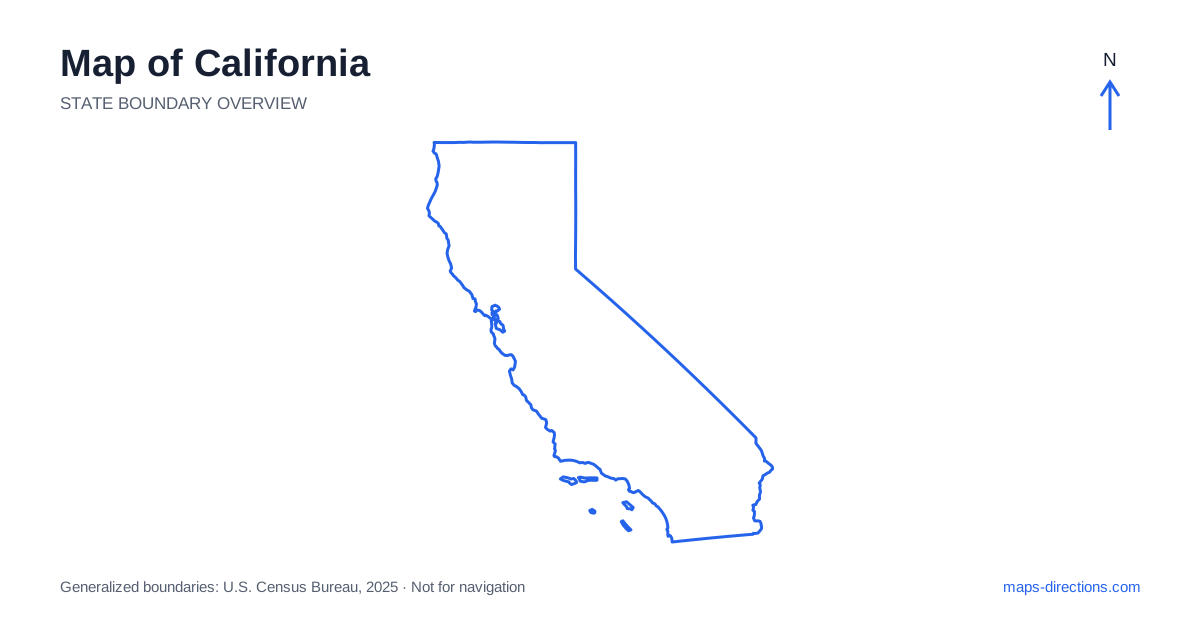
California extends along a long Pacific coastline while also reaching across inland valleys, mountain ranges and desert basins. Its familiar shape does not translate into one simple coastal drive. San Francisco, Sacramento, Los Angeles and San Diego occupy different geographical settings, and many inland destinations require crossing or going around major terrain. Start with the coast, the Central Valley and the Sierra Nevada as separate reference zones. Then place the southern deserts and northern mountain country around them to understand why a visually direct route may be impractical.
Read the coast and the interior separately
California borders Oregon in the north, Nevada along much of its eastern side, Arizona in the southeast and Mexico to the south. The Pacific forms the western edge, but the coastal road network is separated from the interior by ranges and valleys. A destination near the ocean can therefore have a very different approach from an inland city at roughly the same latitude.
The Central Valley runs through much of the interior and includes the Sacramento Valley in the north and San Joaquin Valley farther south. These broad lowlands provide a strong organizing feature for the map. The Sierra Nevada rises along the eastern side, while the Coast Ranges lie to the west. Recognizing this arrangement helps explain the relationship between the main inland highways and the roads leading toward mountain or coastal destinations.
Locate the metropolitan areas accurately
The San Francisco Bay Area is a network of cities around a large body of water, not a single point. San Francisco occupies a peninsula, Oakland lies across the bay, and San Jose is toward the southern end. Bridges and shoreline routes shape journeys between them. A short distance across the water should never be read as an equally short drive, particularly when the destination is on a different side of the bay.
Greater Los Angeles spreads across multiple cities and valleys, with mountain ranges defining parts of the urban landscape. San Diego forms a separate metropolitan area farther south, while Sacramento sits inland near the meeting of important valley and foothill routes. Use a specific neighborhood or address when planning arrivals. City names alone are too broad to describe the final stage of a journey in these large urban regions.
Choose an appropriate long-distance corridor
On a California road map, Interstate 5 provides a major north-to-south inland route. US 101 serves a different corridor through many coastal and near-coastal communities, while State Route 1 follows portions of the coast more closely. These roads should not be treated as interchangeable versions of the same drive. They differ in their relationship to towns, terrain and the ocean, as well as in the amount of local driving involved.
Interstate 80 connects the Bay Area and Sacramento with the Sierra crossing toward Reno. Farther south, other routes link the metropolitan region with desert destinations and neighboring states. Choose the broad corridor according to the places you actually need to reach, then evaluate scenic sections separately. A coastal preference does not mean every part of the trip must remain on the road nearest the water.
Respect the mountain barrier on the eastern side
The Sierra Nevada creates one of the most important map-reading constraints. Destinations on opposite sides of the range can appear close while requiring a long drive to a usable crossing. Yosemite Valley and the eastern Sierra corridor, for example, belong to different access patterns. The correct approach depends on the intended entrance and current road availability, not merely the park's position on a statewide outline.
The eastern side contains its own chain of towns and mountain access points along US 395. A traveler based there is not automatically well positioned for every western-slope destination. Treat passes as specific connections rather than assuming the range can be crossed wherever a route looks convenient. Seasonal conditions can affect mountain roads, so an overview should establish geography without being mistaken for confirmation that a particular crossing is available.
Understand the southern desert distances
Southeastern California includes desert landscapes that feel different from both the coast and the agricultural valleys. The Mojave Desert, Coachella Valley and lower river region form broad reference areas, with settlements and services concentrated along particular corridors. Palm Springs, Joshua Tree and the eastern desert parks are not simply different labels for the same local excursion.
Identify the actual park entrance or community before arranging a loop. Large protected areas may have access points separated by substantial distances, and a route through open land does not guarantee frequent services. An itinerary that begins on the coast should show the mountain or pass crossing into the desert as a meaningful stage. Weather and current road conditions need their own check when the plan moves between these contrasting environments.
Use regional plans within the statewide picture
A productive approach is to design a northern coastal trip, a valley-and-mountain journey or a southern urban-and-desert itinerary first. Combining those plans is possible, but doing so adds genuine travel rather than merely extending a line on the map. Locate each overnight base near the area it is intended to serve, especially when bridges, mountains or urban distances divide the destinations.
For a California journey, the statewide outline is an orientation tool and the local map is an arrival tool. Keep both roles clear. Mark the relevant bridge, mountain approach, park entrance or side of a bay before estimating the day's pace. This produces a route organized around actual geographic connections, with room for the varied landscapes that make the state much more complex than a single coastal silhouette.