Map of Burnsville
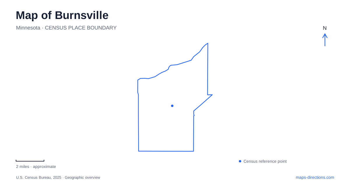
Street tiles load from OpenStreetMap when opened. The blue line shows the 2025 Census boundary.
- State
- Minnesota
- Population · July 2025
- 65,244
- Land area
- 24.9 sq mi
- Water area
- 2.0 sq mi
Burnsville's public spaces range from a deliberately designed civic center to river-bottom habitat and wooded hills. Nicollet Commons and the Ames Center create a compact gathering place, while the Minnesota River corridor belongs to a much larger conservation landscape. Crystal Lake supports water recreation, and two major parks demonstrate how terrain and habitat influence trail use. Reading these places together shows several different kinds of open space within one suburban city.
Heart of the City developed around public space
The Heart of the City initiative began as a street-enhancement project in the late 1990s and expanded into a broader effort to create a walkable center. City planning documents identify the area east of Pillsbury Avenue as its more compact mixed-use district, with Nicollet Commons providing a central park and plaza along Nicollet Avenue.
The commons includes a performance area, an amphitheater-like lawn, water features, seating and public art. These elements make it a designed gathering space rather than an undeveloped gap between buildings. Its relationship with surrounding uses is central to the district's purpose.
For Burnsville, this is a center shaped through coordinated public investment. The street, plaza and nearby buildings work together, so the district is best understood as a small network of places rather than a single landmark. Its history also differs from an old downtown that grew around a nineteenth-century depot or courthouse.
The Ames Center adds an indoor cultural anchor
The Ames Center opened in January 2009 under its earlier performing-arts-center name. It contains a main theater and a smaller black-box theater, along with gallery, meeting and rehearsal spaces. Its two-story glass lobby faces Nicollet Commons and offers views toward the river valley.
That relationship links an indoor cultural venue to the district's outdoor gathering space. A performance can occupy an enclosed auditorium, while the commons serves a different range of events and everyday uses. The two places reinforce each other without being the same facility.
The building also illustrates the scale of Burnsville's civic center. It combines several functions in one site, rather than spreading each cultural activity into a separate complex. When reading the district on a map, the theater building and the park should be treated as neighboring anchors within the wider pedestrian setting.
The riverfront belongs to a regional refuge system
The Black Dog Lake area forms part of Minnesota Valley National Wildlife Refuge. The federal refuge extends along the Minnesota River through multiple communities, with separate units and trail maps. Its local geography therefore does not end at the city boundary.
A mapped route on the Minnesota River Greenway passes through forest and along the river, with a short spur to an observation deck overlooking Black Dog Lake. This distinguishes the river corridor from the lake itself: a route beside one water body may provide a view toward another without following its entire shore.
Burnsville's riverfront is consequently a landscape of channels, floodplain habitat and designated access points. The refuge map is useful for identifying those relationships, while a city street map explains the approach to the trailhead. Neither map alone fully describes the regional conservation system.
Crystal Lake has distinct shoreline destinations
At nearly 300 acres, Crystal Lake is the city's largest lake. Public recreation includes a boat launch, a fishing pier and a swimming beach. The state fisheries description places the lake east of Interstate 35 and identifies additional public fishing shoreline near the city beach at its eastern end.
The public boat ramp is at Crystal Lake West, while the beach occupies a separate shoreline setting. These destinations share the same lake but serve different activities. A general lake label is therefore less informative than the name of the particular access point.
This is also a different water landscape from the river refuge. The lake's managed recreation facilities support boating and swimming, while the river-bottom routes emphasize movement through a broader habitat corridor. Their contrasting roles explain why water appears repeatedly on the local map without every waterfront offering the same experience.
Alimagnet and Terrace Oaks reveal different terrain
Alimagnet Park combines lake-related recreation, sports facilities and an enclosed seven-acre dog park. Its winter trails are comparatively flat and accommodate several uses. Terrace Oaks, by contrast, has wooded, hilly routes that the city describes as more demanding for cross-country skiing.
Terrace Oaks also contains an ongoing oak-savanna restoration project. Work began on 19 acres in 2015 and expanded to another 26 acres in 2018. Removing invasive vegetation and opening the understory support native plants and oak regeneration. An area with fewer dense shrubs can therefore reflect active ecological restoration rather than neglect.
These differences give Burnsville's park map practical meaning. Alimagnet's flatter routes, Terrace Oaks' hills and savanna work, Crystal Lake's shoreline facilities, and the Black Dog river habitat each describe a different setting. Nicollet Commons adds an intentionally urban public space to that range, making the city's open areas a collection of distinct landscapes rather than interchangeable green patches.
Map and statistics: U.S. Census Bureau, 2025 Gazetteer, January 2025 generalized place boundaries and Vintage 2025 population estimates. Local references: City of Burnsville; Ames Center; US Fish and Wildlife Service; Minnesota Department of Natural Resources; Experience Burnsville. Article prepared by Maps & Directions.