Map of Burlington
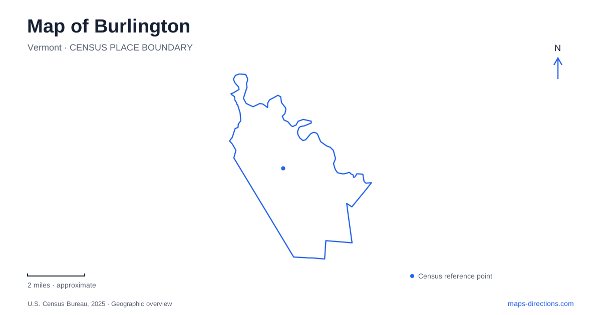
Street tiles load from OpenStreetMap when opened. The blue line shows the 2025 Census boundary.
- State
- Vermont
- Population · July 2025
- 44,019
- Land area
- 10.3 sq mi
- Water area
- 5.1 sq mi
Burlington, Vermont, brings Lake Champlain, a pedestrian shopping street, and a historic university landscape into a relatively compact central area. They are closely related but occupy different settings: the lakefront lies west of downtown, Church Street runs through the commercial center, and the University of Vermont's historic green anchors the campus farther inland. North and south of downtown, shoreline parks continue the public connection to the lake. Those relationships provide a useful framework before choosing an individual destination.
Four blocks of Church Street
Church Street Marketplace occupies the four blocks between Main and Pearl streets. Cherry, Bank, and College streets cross that span, giving the pedestrian district a sequence of smaller sections rather than one enclosed shopping center. Its outdoor setting is important to the map: businesses face an urban street that also functions as a public gathering space.
For exploring central Burlington, the cross streets provide convenient reference points. A destination near Pearl Street belongs to the northern end of the marketplace, while Main Street marks its southern end. College Street also connects the downtown street system toward the waterfront. Thinking in these short street segments makes it easier to combine shops and restaurants with a walk elsewhere, without losing the distinction between the pedestrian district and surrounding streets carrying vehicles.
College Street at the lake
Waterfront Park extends along the Lake Champlain shoreline west of downtown. The bicycle path follows its eastern side and a pedestrian boardwalk borders the water on the west. College and Lake streets, together with Penny Lane, provide named approaches. These details explain the park's long shoreline form and why an event, a lakeside walk, and a cycling trip may use different portions of the same area.
ECHO, the Leahy Center for Lake Champlain, stands at 1 College Street. Its focus on science, nature, and stewardship of the lake makes it a particularly appropriate destination at this meeting of city and water. The Community Boathouse and sailing facilities are also part of the broader waterfront setting. A map of Burlington therefore shows more than a scenic margin here: it identifies a working concentration of recreation, education, and access to the lake.
Battery Park above the harbor
Battery Park occupies a bluff overlooking the harbor and downtown. Its elevation gives it a different relationship to the water than the boardwalk below. The site served as a military battery during the War of 1812, so its name reflects an earlier strategic use of the same commanding position that now attracts people for views.
The park's military history and overlook role are closely connected. A harbor view that seems purely recreational today once helped define the defense of the lakeshore. The Battery Park Extension runs south toward College Street, adding another linear public space to the downtown edge. Reading the bluff and the shoreline together helps explain why two parks close on a plan can offer different perspectives on the same stretch of Lake Champlain.
The historic university green
The University Green is bounded by University Place, Main Street, South Prospect Street, and Pearl Street. It forms the historic core of the University of Vermont, with prominent academic buildings framing the open space. University Row developed along its eastern side, later identified by the street name University Place.
This part of Burlington displays a different pattern from Church Street. Instead of continuous storefronts, the green is framed by individual institutional buildings with varied materials and architectural styles. Old Mill and Billings are among the major landmarks discussed in the university's campus plan. The green itself is consequently a useful point of orientation for architectural exploration, while a specific classroom, performance, or appointment may require a destination elsewhere in the much larger campus.
Beaches and a shoreline path
North Beach lies at the end of Institute Road, with its approach passing through the campground. Oakledge Park occupies the southern end of the city off Flynn Avenue. The two are both shoreline destinations, but their locations bracket a much longer stretch of public waterfront than the central park alone. The Greenway links multiple parks, beaches, and conservation spaces and also serves everyday walking and cycling journeys.
At Oakledge, the Earth Clock adds an unusual geographic feature: fourteen granite stones form a circle that marks the sun's movement through the seasons. A central sundial uses a person's shadow to indicate the time. It connects a park visit to the orientation of the landscape itself. Church Street's blocks, the university's framed green, the harbor bluff, and these shoreline spaces together give Burlington a clear structure that rewards looking beyond a single downtown marker.
Map and statistics: U.S. Census Bureau, 2025 Gazetteer, January 2025 generalized place boundaries and Vintage 2025 population estimates. Local references: City of Burlington; Church Street Marketplace; ECHO Leahy Center for Lake Champlain; Hello Burlington; University of Vermont; Burlington City Arts. Article prepared by Maps & Directions.