Map of Burleson
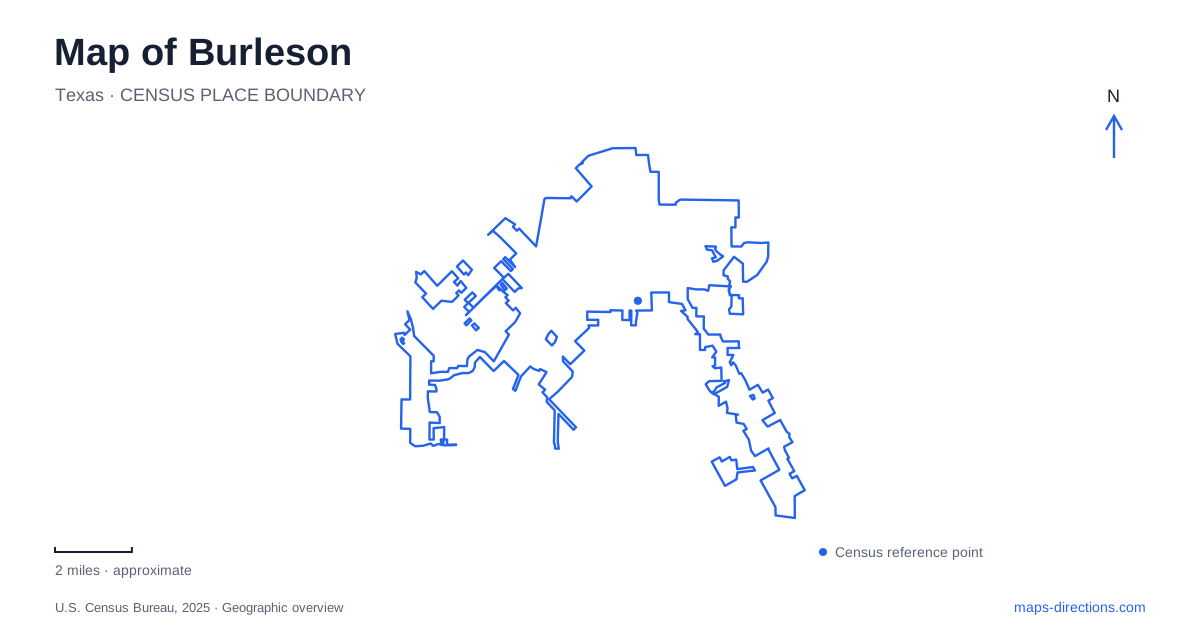
Street tiles load from OpenStreetMap when opened. The blue line shows the 2025 Census boundary.
- State
- Texas
- Population · July 2025
- 56,907
- Land area
- 29.3 sq mi
- Water area
- 0.1 sq mi
Burleson has an older civic and commercial center alongside a substantial network of parks, trails and recreation facilities. Renfro Street provides the address for the Old Town plaza. Hidden Creek Parkway identifies Bailey Lake, while Chisenhall Park Lane leads to a large sports complex. County Road 714 introduces a different setting at Russell Farm. These places give the local map several distinct focal points, from a formal gathering space in the center to water, playing fields and a preserved rural property.
Old Town's public room
Mayor Vera Calvin Plaza stands at 141 West Renfro Street in Burleson. Completed in June 2020, it provides a permanent gathering space within Old Town, with a stage, lawns, shade structures, seating and a children's area. The plaza gives the district a place to pause between businesses rather than functioning only as a route through them.
Rail history remains visible in this setting. The city lists an interurban express motor car and a parlor car among the plaza's features, alongside historical interpretation. These objects connect present-day public activity with the transport heritage of the older town. A family can encounter that history without entering a separate large museum or leaving the central district.
The plaza also reflects a longer process of Old Town planning. The city adopted its original preservation plan in 1995, recognizing the oldest part of the community as a distinctive area requiring its own approach. The later plaza concentrates that idea in one public space: the historic district remains a working place for dining, gatherings and events rather than only a collection of preserved facades.
Bailey Lake and the Hidden Creek approach
Bailey Lake gives Burleson a compact waterside recreation destination at 280 West Hidden Creek Parkway. The city describes an eight-acre lake and identifies a walking circuit around it. The water creates an obvious center for the outing, making this a different experience from a route that simply follows a residential street or passes through a playing-field complex.
The municipal trail information distinguishes the circuit around the lake from the connection between the Hidden Creek Parkway bridge and Tinker Trail. That distinction helps a walker choose between returning to the same waterside starting area and continuing farther into the trail network. A lake loop and a connecting route can begin close together while producing quite different trips.
Fishing is another listed use of the site. For a group with mixed interests, the lake can therefore serve as a shared destination even when not everyone intends to walk. The useful planning question is which part of the shore or trail will be the meeting point, especially when some visitors arrive with fishing equipment and others plan a longer walk.
Chisenhall's fields and trail network
Chisenhall Fields is a major Burleson sports destination at 500 Chisenhall Park Lane. The city lists ten baseball fields, five softball fields, practice fields and a football field within the complex. A playground, pavilion and picnic facilities support family time around the scheduled games.
The large number of fields makes a field assignment an important part of an event invitation. The complex address gets a team to the right grounds, but the field name or number determines where players and spectators gather. This is particularly useful for families following more than one game or coordinating equipment drop-off.
Chisenhall also includes walking and cycling routes, with a named connection toward Tinker Trail. This gives the park a role beyond organized sport. Someone using the trails may pass near the sports area without participating in an event, while a tournament visitor can recognize that the surrounding green space forms part of a larger recreation network. The trail and field systems overlap geographically but serve different activities.
Russell Farm's art and rural setting
Russell Farm adds a quieter Burleson destination on the city's south side at 405 West County Road 714. The thirty-acre historic property was donated to the city in 2011. Its current public uses include galleries, nature trails, workshops and classes, combining an agricultural setting with creative activity.
The galleries distinguish the farm from a park visited only for exercise. Art can provide the reason to arrive, while the grounds and shaded areas extend the visit outdoors. Conversely, someone interested primarily in the landscape may discover that the property also supports structured cultural programs. Its meeting spaces and private-event use add another layer, so access to a particular activity follows its own arrangements.
The contrast with Old Town is useful when deciding how to spend a day. The plaza concentrates public life in a formal central space; Bailey Lake organizes recreation around water; Chisenhall combines fields with trails; and Russell Farm retains room for rural history and art. Their specific streets and settings make each destination recognizable within the wider city.
Map and statistics: U.S. Census Bureau, 2025 Gazetteer, January 2025 generalized place boundaries and Vintage 2025 population estimates. Local references: City of Burleson. Article prepared by Maps & Directions.