Map of Burbank
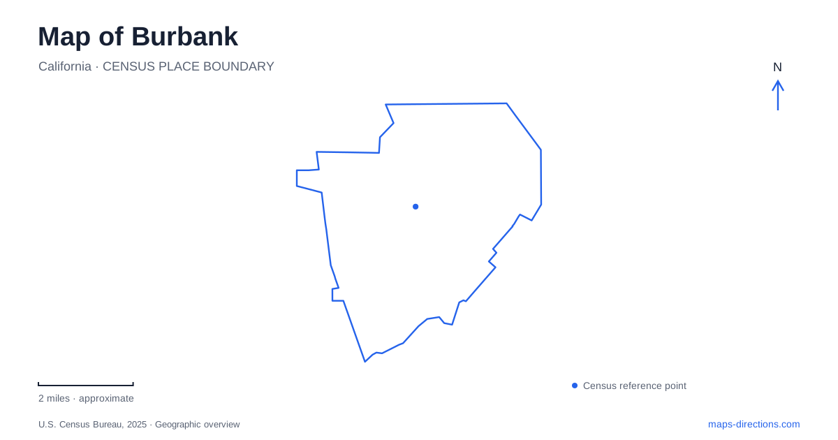
Street tiles load from OpenStreetMap when opened. The blue line shows the 2025 Census boundary.
- State
- California
- Population · July 2025
- 102,988
- Land area
- 17.3 sq mi
- Water area
- 0.0 sq mi
Burbank has several centers rather than one entertainment district that contains everything. Downtown follows San Fernando Boulevard, Magnolia Park gathers vintage shops and neighborhood businesses, and the Media District contains major studio properties. The airport adds a separate transportation landscape, while the Verdugo Mountains rise above the street grid. A useful local map connects these settings without flattening them into a single collection of film-industry landmarks.
San Fernando Boulevard and Magnolia Park
The tourism bureau describes downtown as extending along San Fernando Boulevard from the Town Center toward IKEA. This gives the district a recognizable commercial axis. Side streets such as Palm Avenue and Magnolia Boulevard appear repeatedly on the city's street-art map, which groups several downtown works within a walking-tour area. They help organize a visit around actual blocks rather than around a broad downtown label.
Magnolia Park has another character. Its commercial identity centers on vintage clothing, antiques, collectibles, cafés, and independent shops. Magnolia Boulevard and Hollywood Way are useful reference streets, with Buena Vista Street also anchoring the neighborhood's business geography. The tourism bureau's mural map lists numerous works along West Magnolia Boulevard, including locations near Screenland Drive and Hollywood Way.
These two clusters suggest different walking patterns. Downtown's attractions gather around San Fernando Boulevard and its cross streets, while Magnolia Park encourages movement along a longer commercial boulevard. Burbank's street art offers a practical way to notice that distinction: the mural map separates downtown and Magnolia Park walking areas instead of presenting every artwork as part of one compact circuit.
The studio district has its own footprint
The Media District includes Warner Bros., the Walt Disney Company, and ABC television facilities. Studio properties have a larger block scale than the downtown shopping streets. The visitor map places the Warner Bros. Studio Tour area near the Olive Avenue and Riverside Drive portion of the city, helping distinguish it from the northern airport district and the San Fernando Boulevard center.
This geography matters even for a trip focused entirely on entertainment. A studio tour, a Magnolia Boulevard shopping stop, and a downtown meal represent movement between districts. Their shared association with television and movies does not make them adjacent parts of a single visitor complex. Mapping the streets between them also reveals the ordinary neighborhoods and commercial corridors that support the production industry.
Two airport stations on different railway lines
Hollywood Burbank Airport has separate north and south railway stations. The south station is on Empire Avenue and serves Metrolink's Ventura County Line as well as Amtrak. Passengers can cross Empire Avenue to the Regional Intermodal Transportation Center and reach the terminal using its elevated walkway. The center also brings together rental cars and bus connections.
The north station is near Hollywood Way and San Fernando Road on Metrolink's Antelope Valley Line. The airport provides a shuttle connection from that station to the terminal. The two stations therefore differ in both railway service and ground access. The direction in the station name is useful information, not merely an alternate label for the same platform.
For a rail arrival, this distinction is more helpful than the airport's overall proximity to downtown Los Angeles. The line used determines which side of the airfield the journey reaches, and that determines the final transfer to the passenger terminal.
Chandler's level corridor and the mountain paths
The Chandler Bikeway provides another transportation axis through Burbank. The established 2.2-mile path runs between Mariposa Street and the city boundary at Clybourn Avenue. It accommodates walking, running, and cycling through the urban landscape. The city describes a further connection toward the downtown Metrolink station as a proposed extension, so the completed path and the future project should remain distinct on a route plan.
The mountain trailheads offer a very different experience. Stough Canyon Nature Center and its trailhead are at 2300 Walnut Avenue; Wildwood Canyon's trailhead is at 1701 Wildwood Canyon Road. From the upper end of Walnut Avenue, the fire road connects with the broader Verdugo Mountain Way system, which extends toward neighboring communities. The city permits hiking and mountain biking on the fire roads, while smaller trails are for hiking.
These routes can close during hazardous conditions, and the city specifically notes that trail water is unavailable. The foothill street addresses are therefore only the beginning of a mountain outing. On a map of Burbank, Chandler's urban corridor and the canyon paths show the range of local movement: a relatively direct route across developed blocks on one hand, and a connected mountain landscape requiring terrain-aware planning on the other.
Map and statistics: U.S. Census Bureau, 2025 Gazetteer, January 2025 generalized place boundaries and Vintage 2025 population estimates. Local references: Visit Burbank; Hollywood Burbank Airport; City of Burbank. Article prepared by Maps & Directions.