Map of Bullhead City
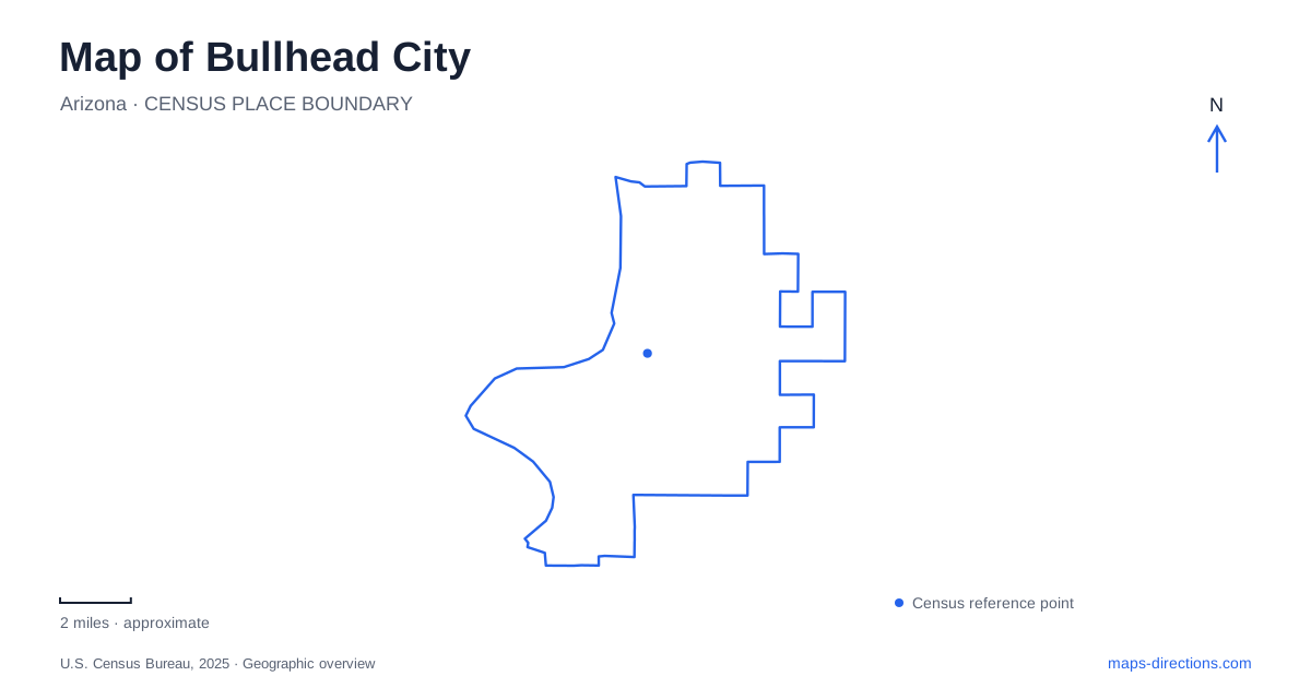
Street tiles load from OpenStreetMap when opened. The blue line shows the 2025 Census boundary.
- State
- Arizona
- Population · July 2025
- 43,987
- Land area
- 59.4 sq mi
- Water area
- 0.8 sq mi
Bullhead City stretches along the Arizona side of the Colorado River, facing Laughlin in Nevada. The water establishes the western edge of the urban landscape, but it does more than divide two states. Upstream, Davis Dam holds back Lake Mohave; downstream, parks and neighborhoods occupy a river corridor shaped by that project. A useful map begins with this distinction between reservoir and river, then follows the roads and public spaces that give access to each.
The dam changed both the shoreline and the settlement
The city's own history traces its modern growth to construction of Davis Dam. Work began during the Second World War, paused because materials were needed elsewhere, and resumed in 1946. Workers and their families lived at Davis Camp near the dam, while the surrounding settlement developed services for the growing population.
Even the name preserves an altered landscape. A rock formation resembling a bull's head and shoulders gave Bullhead City its name, but rising reservoir water submerged the formation. Looking for an exposed landmark that matches the name would therefore misread the modern shoreline. The lake is part of the explanation for what can no longer be seen.
This history also makes the dam a stronger orientation point than a broad recreational label. Lake Mohave occupies the impounded reach above it. Davis Camp and the urban riverfront are below it. They belong to one water system, but their shorelines, facilities, and approaches differ.
Davis Camp retains a residential past
Mohave County's history of Davis Camp describes a community of approximately one hundred homes at its late-1940s peak. As the construction workforce diminished, houses were sold and moved to other communities, including Kingman. Later residents included public-service workers such as teachers, firefighters, and National Park Service employees.
The conversion to a regional park began in the early 1980s, and the park opened in 1983. Former residential structures found new purposes: a house became the ranger station, and several homes were renovated for visitor rentals. The campground's layout therefore has roots in an occupied neighborhood rather than a recreation complex created entirely from scratch.
On a map of Bullhead City, this is an especially useful historical connection. The same ground that supported the dam's workforce now supports river recreation. The change in use helps explain why lodging, maintenance buildings, and shoreline facilities appear together below the dam.
A separate approach to the lake coves
Katherine Landing lies on the southeastern shore of Lake Mohave, north of Davis Dam, within Lake Mead National Recreation Area. Despite the larger recreation area's name, this marina is on Lake Mohave. That distinction prevents a common confusion between the administrative area and the individual reservoir.
The National Park Service describes two established trails leaving the landing. Fisherman's Trail reaches Turkey Cove over low hills, while Lake View Trail runs from the picnic area toward South Arizona Telephone Cove. The latter has uneven ground and elevation changes, so its shoreline setting should not be mistaken for a level waterfront promenade.
The coves explain the local shape of recreation. A marina, a trail to a beach, and a cove reached by a separate road are different ways of encountering the same reservoir. A close map shows these indentations and access routes more clearly than a regional view dominated by a single blue lake shape.
Parks along the urban river
Rotary Park gives Bullhead City a substantial riverfront recreation area at 2315 Balboa Drive. Its facilities combine sports fields with a boat launch, accessible fishing pier, beach access, and a nature walking trail. The resulting park is both a neighborhood recreation center and a river destination.
That combination matters when interpreting the large park footprint. Playing fields occupy usable open ground, while water-oriented facilities follow the shoreline. A visit centered on a soccer field has a different internal destination from one centered on fishing or launching a small craft, even though both fall under the same park name.
Backwater habitat within the city
The Colorado River Nature Center provides another kind of riverfront in Bullhead City. The 500-acre natural area is managed cooperatively by the city, Arizona Game and Fish Department, and Bureau of Land Management. Eight trails start near two kiosk parking areas, and an educational paved trail follows backwater ponds.
Those ponds deserve attention as distinct habitat features beside the main river. They make the nature center more than an undeveloped extension of a sports park. Its day-use setting favors walking, wildlife interpretation, and shoreline exploration, with Rio Lomas Beach among its named places. Reading the ponds, trails, and river together completes a local picture in which engineered water storage, former workers' housing, active recreation, and habitat occupy different parts of the same corridor.
Map and statistics: U.S. Census Bureau, 2025 Gazetteer, January 2025 generalized place boundaries and Vintage 2025 population estimates. Local references: City of Bullhead City; Mohave County Parks; National Park Service. Article prepared by Maps & Directions.