Map of Buffalo
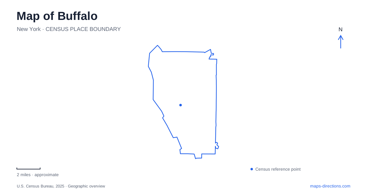
Street tiles load from OpenStreetMap when opened. The blue line shows the 2025 Census boundary.
- State
- New York
- Population · July 2025
- 274,613
- Land area
- 40.4 sq mi
- Water area
- 12.1 sq mi
Buffalo's geography becomes clearer when its different waterfronts are separated. Canalside interprets the old canal terminus beside downtown; the Outer Harbor offers broader lakeside open space; and the river's grain-elevator landscape records industrial activity on a much larger architectural scale. Delaware Park provides another kind of public landscape away from those working-waterfront origins. These places are connected by the city's history, but their layouts, access arrangements and present uses differ substantially.
Canalside follows historic alignments
Canalside's water features and bridges follow historic canal alignments, recalling the western terminus of the Erie Canal. The Commercial Slip is a recreation of an important part of that earlier waterfront, rather than an untouched canal landscape preserved without alteration. The Immigrant Steps and the Lloyd, Lake and Commercial street bridges help organize the visitor area around that history.
The setting combines interpretation with current recreation, lawns and a boardwalk. Its listed navigation address is 44 Prime Street, and the Erie Canal Harbor rail station provides a public-transit connection. The downtown position matters: Canalside can form part of an urban outing rather than requiring a separate excursion to a distant waterfront park. Reading the reconstructed water spaces alongside the surrounding streets gives a sense of how transport once structured the edge of the city, even as the site now supports very different activities.
The Outer Harbor faces the lake
The Outer Harbor occupies a separate waterfront setting reached from Fuhrmann Boulevard. Its major places include Wilkeson Pointe, Terminal B, the Lakeside complex and Bell Slip. Broad open spaces, trails and views over Lake Erie distinguish it from the more compact Canalside environment.
Wilkeson Pointe has undergone a redesign that moved parking away from the water and separated it from the pedestrian trail. Paths near the shoreline were raised, while native planting added habitat areas. These changes show how the public waterfront continues to evolve rather than remaining a fixed historical landscape. In Buffalo, the lake edge now accommodates recreation, ecological work and event spaces alongside the traces of earlier harbor uses. The relationship among parking, paths and shoreline is part of that adaptation, influencing how people reach and experience the water.
Grain elevators and managed access at Silo City
Silo City occupies a 27-acre campus in the First Ward, with historic structures including the Marine A, Lake and Rail, and Perot grain elevators. Its landscape also includes riparian habitat along the Buffalo River, upland meadow, a pond, tree canopy and pollinator areas. The combination places industrial architecture and ecological restoration in the same setting.
The site is visited through organized tours, programs and events rather than unrestricted individual access. Its navigation location is 85 Silo City Row; the Ohio Street mailing address serves a different purpose. That distinction is worth understanding before an outing because the towers' visibility does not make the entire complex a public park.
The elevators retain the scale of an industry built around moving and storing grain. Current arts and ecology programs offer new uses without erasing that physical character. A visit can therefore connect building form with the changing role of the surrounding land. The meadow and pollinator areas are not unrelated decoration beside the concrete structures; they are part of the site's exploration of what an industrial landscape can become.
Delaware Park's designed landscape
Delaware Park was developed between 1870 and 1874 as a central element of the Olmsted park system. Its original 350-acre landscape combined a substantial water feature, open meadow and wooded areas. Paths for walking, riding and carriages allowed people to experience those contrasting settings as parts of one designed park.
Later construction of the Scajaquada Expressway divided parts of the historic landscape. This helps explain why a modern map shows a major road within an area intended as connected parkland. The relationship between the meadow and Hoyt Lake has consequently become an important subject of preservation and planning discussion. Delaware Park illustrates a recurring tension in Buffalo's development: transport infrastructure can connect the wider city while interrupting the continuity of a particular public landscape.
Art beside the park
The Buffalo AKG Art Museum stands at 1285 Elmwood Avenue next to Delaware Park. Its position links a major cultural institution with the park landscape, offering a different combination of art and outdoor space from the industrial setting at Silo City.
Together, these destinations reveal several ways the city has organized public experience. Canalside recalls a transport terminus, the Outer Harbor opens a broad lakefront, Silo City reuses an industrial campus, and Delaware Park preserves a designed landscape shaped by later infrastructure. Keeping those distinctions visible makes the map more useful and the city's history easier to read through actual places.
Map and statistics: U.S. Census Bureau, 2025 Gazetteer, January 2025 generalized place boundaries and Vintage 2025 population estimates. Local references: Buffalo Waterfront; Empire State Development; Silo City; National Park Service; Buffalo Olmsted Parks Conservancy; Buffalo AKG Art Museum. Article prepared by Maps & Directions.