Map of Buena Park
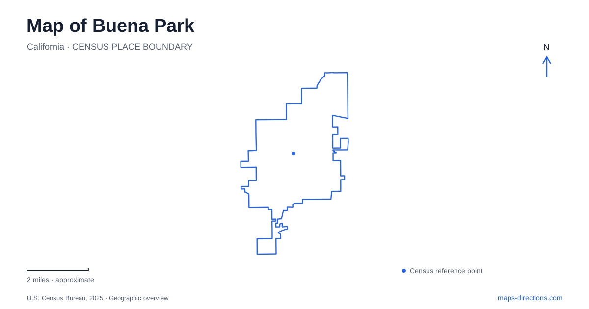
Street tiles load from OpenStreetMap when opened. The blue line shows the 2025 Census boundary.
- State
- California
- Population · July 2025
- 81,741
- Land area
- 10.5 sq mi
- Water area
- 0.0 sq mi
Buena Park has a useful organizing road in Beach Boulevard, but its attractions do not all belong to one continuous entertainment complex. Historic houses occupy one section of the corridor, Knott's Berry Farm another, and the regional park landscape lies along Rosecrans Avenue. The rail station adds a separate arrival point at Lakeknoll Drive. Reading these destinations as distinct places makes the local map more useful than treating the theme park as the center of every outing.
Historic houses along Beach Boulevard
The historic district is identified at 6631 Beach Boulevard. Its Whitaker-Jaynes House serves as a local history museum, while the smaller Bacon House preserves a markedly different domestic setting. Together they give the corridor a historical reference that is separate from the large entertainment attractions farther along the road.
The municipal general plan records an important detail about the Whitaker-Jaynes House: it was moved to this site in 1994. Its present position therefore represents preservation and interpretation rather than an untouched arrangement of the original settlement. Andrew Whitaker's 1887 house, later occupied by the Jaynes family, became an anchor for the historical district after relocation.
The library district's account describes Victorian furnishings in the larger house and single-wall construction in the Bacon House. Those differences make the pair useful for understanding earlier domestic life. A historic map of Buena Park should distinguish the surviving buildings from their original locations, because the current grouping tells a story assembled through preservation work.
The theme park has several kinds of destination
Knott's Berry Farm publishes 8039 Beach Boulevard as its address. Its directions distinguish the main entrance loading zone from parking and the California Marketplace area. That distinction is helpful even before studying a detailed park map: arriving to meet someone outside, visiting shops, and spending a day inside the theme park are different movements within a large property.
The same official directions cover Knott's Soak City, but a shared address and operator do not make every attraction entrance identical. Use the appropriate attraction map for the intended visit. Beach Boulevard supplies the regional reference; the park's own layout supplies the more detailed relationship between entrances, parking, and particular facilities.
For Buena Park visitors, the historical district and the theme park illustrate two scales along the same road. One is a small collection of preserved buildings. The other is a destination large enough to require internal wayfinding. Keeping both visible prevents the boulevard's familiar attraction names from obscuring the separate places between and around them.
Arriving at Lakeknoll Drive
The Metrolink station's published address is 8400 Lakeknoll Drive at Dale Street. OCTA's station information identifies bus connections there, and the theme park's directions describe onward travel by bus toward Beach Boulevard. A rail arrival therefore begins at the station rather than at the theme park gate.
This is a useful distinction when assembling a visit to Buena Park by public transportation. The train journey, transfer point, and final destination are separate parts of the route. Lakeknoll Drive and Dale Street belong in the plan alongside Beach Boulevard, particularly when comparing a station pickup with an arrival directly at an attraction.
Dale Street also appears in the address for Boisseranc Park at 7520 Dale Street. The tourism office identifies that park as a venue for summer concerts. The repeated road name gives a local relationship between destinations without making the park part of the rail station or entertainment property.
Rosecrans Avenue and the Coyote Hills
Ralph B. Clark Regional Park is at 8800 Rosecrans Avenue, at the foot of the Coyote Hills. The visitor bureau describes a landscape of more than one hundred acres with trails, picnic areas, a lake, and sports facilities. This is a different setting from Beach Boulevard's developed attraction corridor.
Its interpretive center concerns fossils recovered within the park and surrounding hills. OC Parks explains that highway construction excavations between 1956 and 1973 revealed important fossil beds at the former borrow pit. The connection between a recreational landscape and material excavated for freeways is a particularly revealing part of local geography.
Rosecrans Avenue divides different park features. A county educational program describes the fossil bed north of the avenue and the interpretive center to the south. Those positions help explain why the park should be read on both sides of the road. Indoor exhibits and the hillside field setting are related, but they occupy separate locations.
Buena Park's map thus connects several kinds of history and movement: relocated nineteenth-century houses, a major theme-park property, a rail-and-bus arrival point, and hills containing evidence of much older environments. Beach Boulevard, Dale Street, Lakeknoll Drive, and Rosecrans Avenue provide the practical references that keep those places distinct.
Map and statistics: U.S. Census Bureau, 2025 Gazetteer, January 2025 generalized place boundaries and Vintage 2025 population estimates. Local references: Visit Buena Park; City of Buena Park; Buena Park Library District; Knott’s Berry Farm; Orange County Transportation Authority; OC Parks. Article prepared by Maps & Directions.