Map of Bryan
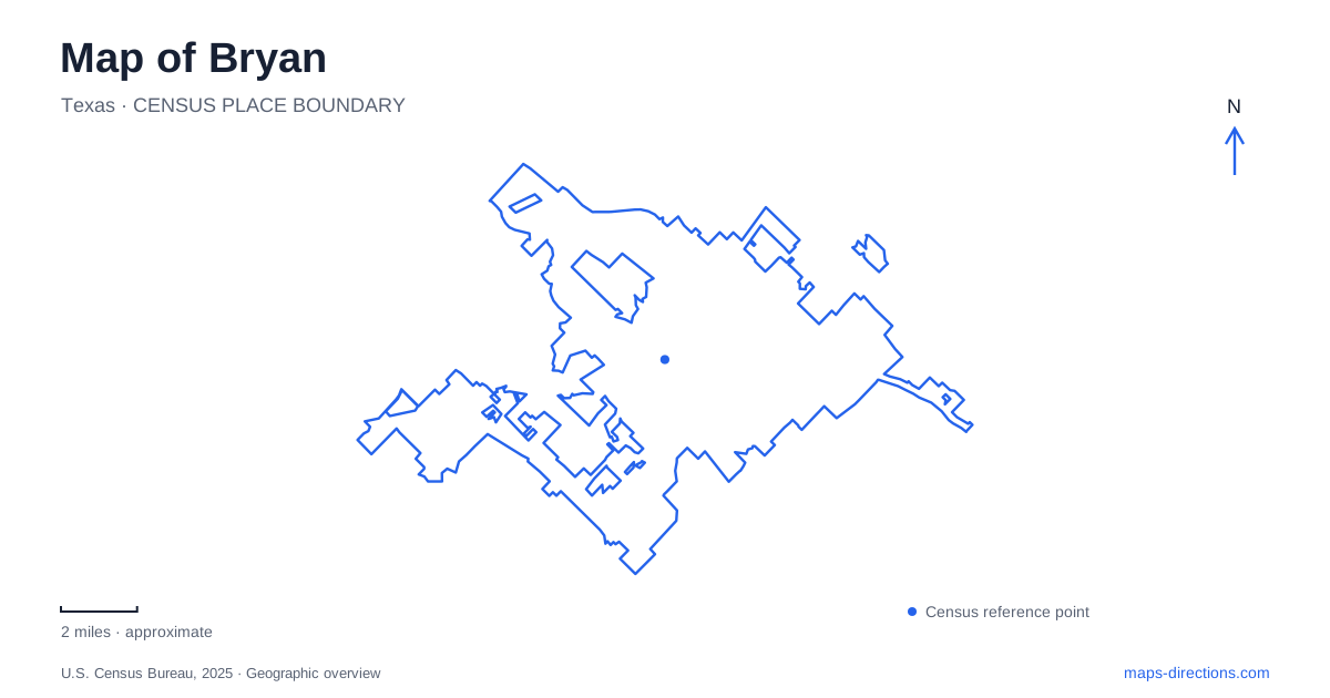
Street tiles load from OpenStreetMap when opened. The blue line shows the 2025 Census boundary.
- State
- Texas
- Population · July 2025
- 91,996
- Land area
- 55.7 sq mi
- Water area
- 0.1 sq mi
Bryan's map tells a story of a county center moving toward the railroad, then expanding into several distinct cultural and recreational districts. The older settlement of Boonville, the downtown Main Street blocks, the museum on Briarcrest Drive, and Midtown's sports facilities each explain a different stage of that development. They are best understood as connected chapters spread across the city rather than as attractions gathered around one central square.
From Boonville to the railroad
The expansion of the Houston and Texas Central railway changed where residents and businesses wanted to locate. People moved closer to the line through what became downtown, and the county seat moved from Boonville in 1866. Municipal incorporation followed in 1871. That shift is fundamental to understanding why the modern center and the remnant of the original county seat occupy different places.
Boonville Heritage Park preserves that earlier settlement at 2421 Boonville Road. The site includes the 1856 Turner-Peters log house and the original cemetery, where Harvey Mitchell and other early residents are buried. The house's furnished interior interprets a nineteenth-century frontier household. Together, the domestic building and burial ground make the old town's history tangible even though most of the settlement has disappeared.
For a Bryan history visit, the park establishes the story before the railroad-centered downtown. It also gives Boonville Road more meaning than a street name: the road leads to surviving evidence of the place that once held the county's administrative role. The museum operator offers scheduled openings and tours, so an interior visit should be planned around those arrangements.
Main Street's compact cultural stops
Downtown's scale changes the way a visitor moves. The Carnegie History Center at 111 South Main Street and the Queen Theatre at 110 South Main Street form a particularly useful pair of landmarks. One supports local-history and genealogy research; the other preserves the presence of cinema in the commercial district. Their addresses place two different kinds of cultural visit on the same short stretch of Main.
The Palace Theater adds an outdoor performance setting to the downtown circuit. The official history tour also identifies the LaSalle Hotel and former commercial buildings such as Howell Grocery Store and Meyers Hardware. Some now serve other uses, allowing a street walk to compare surviving architecture with changes in the everyday activity inside it.
A detailed view of downtown Bryan is therefore useful for more than locating a restaurant. It reveals how research, entertainment, hospitality, and reused commercial buildings share the historic core. The neighborhood's identity comes from this accumulation of functions, not from a single preserved monument standing apart from the working city.
Natural history on Briarcrest Drive
The Brazos Valley Museum of Natural History is at 3232 Briarcrest Drive. Its Discovery Room combines live animals, preserved specimens, and hands-on learning. A freshwater aquarium focuses on fish native to the Brazos River, while an observation beehive introduces another form of local natural history.
The museum also interprets regional human history, including a 1910 bank safe and models from the Knott Memorial Wagon Collection. That combination makes the institution a useful bridge between the landscape and the communities that developed within it. The Briarcrest building and Boonville Heritage Park are separate addresses under the museum's interpretive umbrella; visiting the museum galleries does not place a visitor at the log house or cemetery.
Midtown's new sports geography
Midtown runs along Texas Avenue and South College Avenue between the city limits near Texas A&M University and downtown. Within this corridor, Travis Bryan Midtown Park has transformed a former municipal golf course and lake into a roughly 150-acre recreation and entertainment area. Development beginning in 2020 brought Legends Event Center, Travis Fields, Topgolf, and D-BAT Aggieland into the park's changing layout.
The street names reflect that transformation. In April 2026, the council approved changing Bomber Drive to Midtown Park Boulevard, creating a more consistent identity around the facilities. An older event listing may still use the previous name. Legends Event Center's address at 2533 Midtown Park Boulevard provides a current reference for the indoor venue.
The park continues to develop. The city's description distinguishes operating facilities from future features such as a boardwalk, fishing piers, and the refilling of Midtown Lake. A conceptual park drawing should consequently be read as a development vision, rather than a guarantee that every pictured attraction is available.
Across Bryan, the contrast is instructive: Boonville preserves a former county seat, Main Street sustains an established commercial district, and Midtown is actively remaking a recreational landscape. Keeping those different stages visible makes the map a guide to the city's development as well as a tool for choosing the next destination.
Map and statistics: U.S. Census Bureau, 2025 Gazetteer, January 2025 generalized place boundaries and Vintage 2025 population estimates. Local references: Destination Bryan; Brazos Valley Museum of Natural History; City of Bryan. Article prepared by Maps & Directions.