Map of Brookhaven
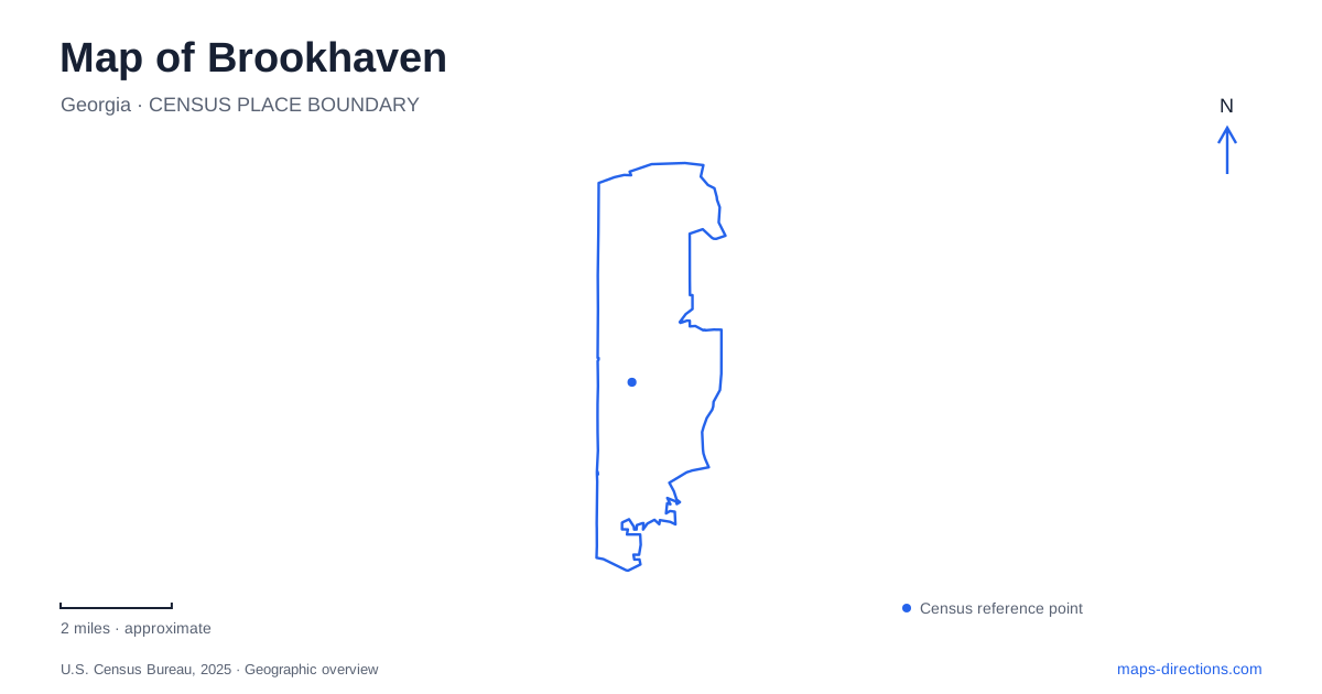
Street tiles load from OpenStreetMap when opened. The blue line shows the 2025 Census boundary.
- State
- Georgia
- Population · July 2025
- 59,643
- Land area
- 12.2 sq mi
- Water area
- 0.1 sq mi
Brookhaven has several recognizable centers of activity, and their similar-sounding names can obscure a varied geography. Peachtree Road is a major urban reference, while Peachtree Creek identifies a different landscape of water and trails. Dresden Drive provides village-style commercial surroundings, and Murphey Candler Park gathers recreation around a lake. Keeping those places distinct is the first step toward reading the city as a set of connected neighborhoods rather than a single shopping district.
Peachtree Road and the rail gateway
The Brookhaven/Oglethorpe MARTA station sits on the Gold Line and provides a regional arrival point with local bus connections. Peachtree Road, North Druid Hills Road, Dresden Drive and Apple Valley Road appear together in the station-area transportation geography. These names are useful anchors when shifting from a regional rail map to the streets around the station.
The city's civic center location at 4001 Peachtree Road is at the North Druid Hills Road corner, adjacent to the rail station. That puts municipal activity and transit within the same recognizable junction. Dresden Drive adds a separate commercial focus, with the city's own description identifying walkable village centers along the street. A person arriving for a civic purpose, a meal or a train connection may therefore be using the same general area for quite different reasons.
Oglethorpe University is another Peachtree Road destination, at 4484. Its name appears in the station name, but the campus is a separate place; MARTA describes it as reachable by a short bus trip from the station. The university's Museum of Art adds a cultural reason to visit the campus. Retaining the university address prevents the shared station name from compressing two locations into one.
A lake-centered park with several sides
Murphey Candler Park introduces a different map pattern in Brookhaven. The city lists the park at 1551 West Nancy Creek Drive, while the pool has its own address at 4051 Candler Lake West. The names Candler Lake East and Candler Lake West help identify different sides of the recreation landscape. They are useful geographic clues rather than merely alternative ways of referring to the same entrance.
The park combines paths and a walking bridge with ball fields, tennis courts, a playground and picnic facilities. Its lake creates a central feature around which these activities are arranged. A lakeside walk, an organized game and a pool visit can therefore lead to different parts of one large park. The map should show the particular facility along with the park outline.
This setting is quite different from the Peachtree Road corridor. Around the lake, recreation and the shape of the water determine how the grounds are understood. Along the road, individual addresses and intersections provide the strongest references. Switching between those two ways of reading a map is more useful than assuming every destination can be understood from its street address alone.
The creek greenway follows another corridor
The Peachtree Creek Greenway follows the North Fork of the creek in the Buford Highway corridor. The city's facility directory identifies a paved initial segment and trailheads on Briarwood Road, Corporate Boulevard and North Druid Hills Road. These access streets place the trail within a different part of Brookhaven from the lake park and the university campus.
The first completed section opened in 2019. Broader plans describe connections toward Atlanta and other regional trail systems, but those plans should not be read as a guarantee of one completed continuous route. North Druid Hills Road, Briarwood Road and Corporate Boulevard identify different approaches that should be checked against the city's trailhead guidance. Retaining those road names is more useful than assuming that every entrance drawn on a regional trail map has the same access arrangements.
The greenway's value on a map is that it reveals a waterside route within an otherwise heavily developed road corridor. It offers a way to experience the creek landscape on its own terms, rather than encountering it only at a street crossing. The distinction between Peachtree Road and Peachtree Creek matters especially here: the shared word does not mean the destinations occupy the same corridor.
Neighborhood recreation has its own addresses
Lynwood Park's pool and splash pad are on Osborne Road, while Ashford Park's splash pad is on Redding Road. Briarwood Park's pool is on Briarwood Road. These facilities add neighborhood destinations beyond the larger lake park, and their street names provide a practical way to compare locations without relying solely on a parks list.
A map of Brookhaven is therefore most useful when it shows the rail and civic junction, Dresden Drive's commercial setting, the university campus, the lake-centered park and the creek trail as distinct places. Their differences explain the city's local geography and help turn a broad destination search into an outing with a clear focus.
Map and statistics: U.S. Census Bureau, 2025 Gazetteer, January 2025 generalized place boundaries and Vintage 2025 population estimates. Local references: MARTA; City of Brookhaven; Oglethorpe University Museum of Art. Article prepared by Maps & Directions.