Map of Bristol
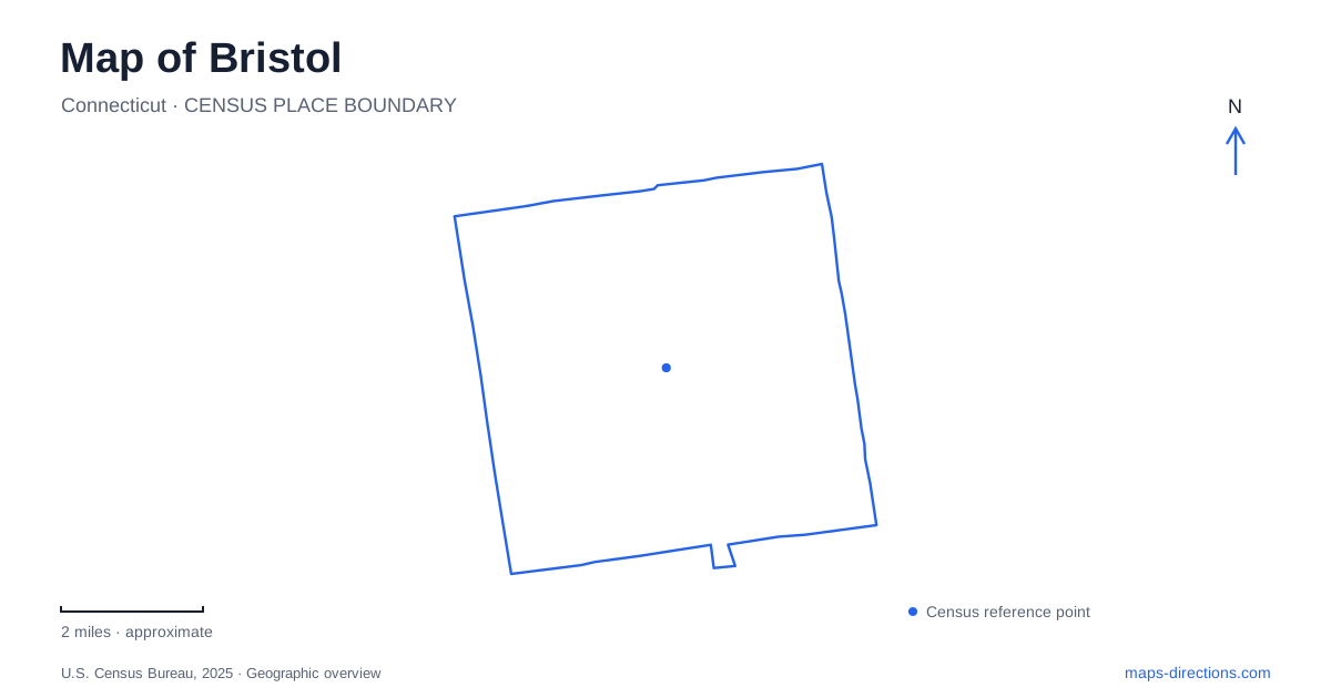
Street tiles load from OpenStreetMap when opened. The blue line shows the 2025 Census boundary.
- State
- Connecticut
- Population · July 2025
- 62,341
- Land area
- 26.4 sq mi
- Water area
- 0.4 sq mi
Bristol has a river corridor that helps explain its local geography without providing a ready-made route through every neighborhood. The Pequabuck links the setting of West End parks with Memorial Boulevard, while Riverside Avenue supplies a recognizable museum address. Page Park introduces a separate recreation destination east of downtown, with several entrances and a substantial internal layout. Distinguishing these places makes a city map more useful than simply collecting park labels around a central pin.
The Pequabuck is an organizing feature
Municipal planning documents identify Rockwell Park and Brackett Park as West End recreation assets associated with the Pequabuck River. The city's trail-design material describes a proposed connection between those parks, Memorial Boulevard and Middle Street. That geographic relationship is informative, but a design document is not evidence that the whole proposed route is complete and open.
When reading a Bristol map, distinguish an existing public path from a line shown in a project plan. The river may continue through a corridor where land ownership, crossings and grades complicate access. A continuous watercourse therefore cannot be used as a continuous walking instruction. For a practical outing, select a named park or confirmed path entrance first, and check current project information before relying on a new connection between destinations.
Riverside Avenue supplies a precise museum stop
The Carousel Museum publishes its location as 95 Riverside Avenue. That address is a clearer arrival reference than a general search for the riverfront or downtown museums. It gives the cultural stop a place in the street network while leaving admission and access arrangements to the venue's current visitor information.
A visit to Bristol can combine this museum with another nearby destination, but the route should retain the actual building address. Riverside in the street name does not imply that the museum entrance is reached from a waterside trail. Treat the road approach and any later walk as separate decisions. This distinction is useful when planning a pickup, since a person waiting at a street entrance and another following a river label may not arrive at the same spot.
Memorial Boulevard is a linear public landscape
The municipal parks description places Veterans Memorial Park and Boulevard near Main Street, South Street and Riverside Avenue. It describes recreation parallel to the Pequabuck, with monuments, ponds and a walking path. The elongated setting is important: this is not simply a compact green square whose center identifies every facility.
For a Bristol meeting along the boulevard, name a monument, entrance or agreed street reference. The park label can cover more ground than the place where a group intends to gather. Read the pedestrian path separately from surrounding traffic lanes and crossings. A road and a walking route running alongside each other may share a general direction while offering very different ways to enter and move through the area.
Page Park has multiple legitimate entrances
The city's recreation registration system lists Page Park at 649 King Street and identifies entrances from King Street, Moody Street, Page Avenue and Woodland Street. It also distinguishes facilities such as the lagoon, disc golf course, courts and pavilion. This makes the park a good example of a correct destination with several possible arrival points.
For an event or recreation booking, select the facility and follow its current arrival guidance rather than assuming the first park entrance is the most suitable. The municipal project portal can help distinguish proposed layouts from established parking and path arrangements. The stable street references establish the park's location; current facility information resolves the practical access. Share the selected entrance with companions when a meeting involves more than one vehicle.
Aquatics names are not interchangeable
The municipality distinguishes the Dennis Malone Aquatics Center on Mix Street from outdoor pools at Page and Rockwell parks. A search for a swim program should therefore preserve the facility name as well as the city. A pool associated with one park is not a substitute for a class or appointment assigned to another location.
The useful map of Bristol joins these separate references without erasing their differences: the Pequabuck for landscape context, Riverside Avenue for the museum, Memorial Boulevard for a linear civic space, King Street and the other named approaches for Page Park, and Mix Street for the aquatics center. Begin with the actual purpose of the trip, select its facility and then compare the roads or confirmed paths connecting it to another stop. That sequence avoids treating a river, a planned trail and a public entrance as the same kind of line.
Map and statistics: U.S. Census Bureau, 2025 Gazetteer, January 2025 generalized place boundaries and Vintage 2025 population estimates. Local references: City of Bristol; Carousel Museum; Bristol Parks Recreation Youth and Community Services. Article prepared by Maps & Directions.