Map of Bridgeport
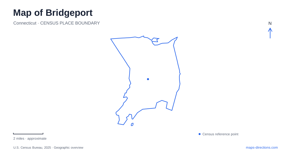
Street tiles load from OpenStreetMap when opened. The blue line shows the 2025 Census boundary.
- State
- Connecticut
- Population · July 2025
- 152,273
- Land area
- 16.1 sq mi
- Water area
- 3.4 sq mi
Bridgeport developed where river crossings, a working harbor and shoreline routes met. That geography remains visible in the relationship between Main Street, the Pequonnock River and Long Island Sound. Yet the city also contains two very different historic park landscapes: one created along the coast and another arranged around inland hills, a stream and a pond. Reading the harbor and parks together reveals how transportation, industry and public recreation shaped the same urban area.
The crossing behind the city's name
The community took its present name in 1800, referring to the drawbridge over the Pequonnock River. By then, the business center had shifted toward Main and State streets. A new shoreline road, now represented by State Street, connected the Fairfield side with the harbor and helped establish that intersection as a commercial focus.
The port supported industrial expansion, while railway connections extended its reach inland and along the coast. The Housatonic, Naugatuck and New Haven railways connected different markets and manufacturing districts to the city. These overlapping routes explain why the waterfront developed as more than a recreational edge: it was a place where goods and people transferred between transportation systems.
Bridgeport's current outline also incorporates formerly separate areas. Black Rock and the West End were annexed from Fairfield in 1870, followed by the East End and West Stratford in 1889. Neighborhood names therefore preserve parts of an older municipal geography beneath the modern city boundary.
A public landscape made along the shore
Seaside Park was shaped by Frederick Law Olmsted and Calvert Vaux after the Civil War, with P. T. Barnum playing a major role in securing the waterfront for public use. The landscape did not emerge in a single construction campaign. Drainage, fill and seawall projects gradually extended and organized the park between the nineteenth and early twentieth centuries.
The area between Park and Iranistan avenues was among the early sections drained and protected by dykes. Mirror Lake, also called Mummy Pond, belongs to that drainage story. Understanding this engineered history changes how the lawns and shoreline appear on a map: some of the ground now used for recreation was previously underwater or marshy.
At the western end, Fayerweather Island and its lighthouse mark the approach to Black Rock Harbor. The lighthouse guided navigation from 1823 until 1932. The island, the coastal park and the harbor thus represent different functions within one shoreline landscape: navigation, public recreation and maritime access.
An inland park around pond and slopes
Beardsley Park offers another side of Bridgeport's park history. James W. Beardsley donated land in 1878 with the requirement that it remain a public park. Its location along the Pequonnock River and its rolling terrain supported a pastoral design distinctly different from the exposed coastal setting at Seaside.
The Noble Avenue approach leads toward views of Bunnell's Pond and open lawns. Curving roads follow the topography rather than simply imposing a street grid. Two granite arch bridges add recognizable features: the Setzer Memorial Bridge dates to 1918, and a pedestrian bridge to a small island was added in 1921.
The zoo, established in 1922, occupies part of the park but was not part of Olmsted's original conception. On a detailed map, the zoo, pond, bridges and park roads should be read as separate components of a larger landscape. Their different origins help explain why the grounds combine designed scenery with a major visitor attraction.
A downtown landmark and a working ferry route
At 820 Main Street, the Barnum Museum provides another link between philanthropy and the built environment of Bridgeport. The building opened in 1893 as the Barnum Institute of Science and History, after Barnum's death. Its brownstone, terra cotta decoration and domed form distinguish it from ordinary commercial buildings. Confirm the museum's arrangements for interior visits separately from viewing the historic building on Main Street; restoration work can affect those two experiences differently.
The harbor continues to function as a passenger gateway through the ferry to Port Jefferson on Long Island. The operator gives the local terminal address as 1 Ferry Access Road and distinguishes vehicle tickets from walk-on travel. That service adds a water crossing to the region's road and rail geography.
A useful map of Bridgeport consequently shows several layers at once: the river crossing behind its name, commercial streets linked to the port, an engineered coastal park, an inland pastoral landscape and a continuing ferry connection across the Sound.
Map and statistics: U.S. Census Bureau, 2025 Gazetteer, January 2025 generalized place boundaries and Vintage 2025 population estimates. Local references: City of Bridgeport; Bridgeport History Center; The Barnum Museum; Bridgeport and Port Jefferson Steamboat Company. Article prepared by Maps & Directions.