Map of Brentwood
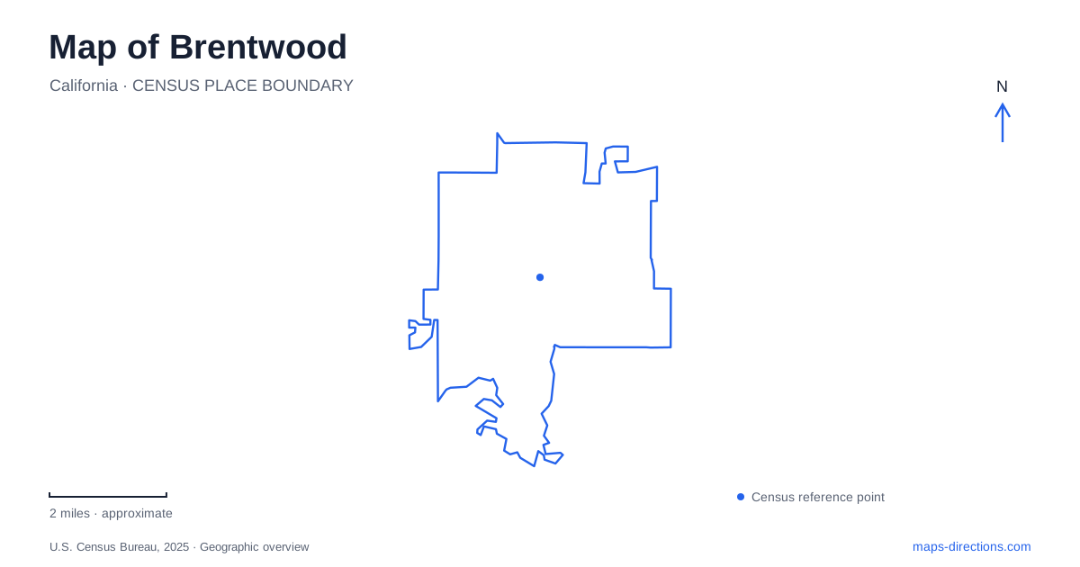
Street tiles load from OpenStreetMap when opened. The blue line shows the 2025 Census boundary.
- State
- California
- Population · July 2025
- 66,607
- Land area
- 14.9 sq mi
- Water area
- 0.0 sq mi
Brentwood in eastern Contra Costa County brings a historic agricultural town together with expanding neighborhoods and nearby foothill landscapes. Oak Street supplies a civic reference point, while Marsh Creek connects the wider setting to both recreation and conservation. The map becomes more useful when the downtown grid, older farming landscape and regional preserves are read at their own scales. They explain different parts of the community's development.
Oak Street and the civic center
The county library at 104 Oak Street and community center at 35 Oak Street place two public destinations along the same downtown corridor. City Hall uses 150 City Park Way. These addresses identify a civic cluster that can serve as a starting point for understanding the older center, rather than treating the city's larger shopping and residential areas as its only orientation points.
The library has meeting and study rooms as well as its collections. Its location page identifies parking in the City Park Way garage and along Oak Street, reinforcing the relationship between the library and surrounding civic blocks. A visit for a community meeting, a library program or an errand can therefore involve this same small group of streets while having a different final building.
The downtown specific plan traces the street grid to the Oak Street and Brentwood Boulevard intersection. It describes a historic center where civic, commercial and residential uses developed together. That mixed pattern gives the district a different structure from a single-purpose shopping center: its streets connect public facilities and older town blocks rather than functioning only as access aisles for retail parking.
Rail connections and an agricultural town
The first post office opened in 1878, the same year that a railroad connection made the settlement a stopping point. East Contra Costa Historical Society describes earlier businesses, including a blacksmith shop opened in 1874, followed by commercial and storage buildings. These were the practical components of an agricultural service town: repair, trade, transport and places to hold goods before shipment.
Brentwood incorporated in 1948, long after those early commercial roots. The distinction matters when reading historical maps because the settlement and its economic relationships predate municipal incorporation. Farming remained central through the period of later residential growth, leaving agricultural history as an active part of local identity rather than merely a founding anecdote.
The regional history also connects the town to Rancho Los Meganos and John Marsh. His stone house survives as a major historic feature of the Marsh Creek landscape. It belongs in the story of the area's landholding and settlement, but its appearance on a visitor map needs to be understood alongside present access arrangements.
Three different Marsh Creek references
Marsh Creek is a watercourse, a trail reference and part of a state-park name. Those overlapping names can obscure important differences. The regional park district's trail account describes a route connecting the Big Break Regional Trail with the creek corridor toward Concord Avenue, passing near parks and developed areas. It is an outdoor travel corridor through a broader urban and Delta-edge setting.
Marsh Creek State Park has a different role. Its conservation land and historic property should not be assumed to offer unrestricted general access. The agency makes a specific exception for the Round Valley staging area, operated under an agreement with East Bay Regional Park District to serve the adjacent regional preserve. Thus, an open parking and equestrian staging area does not imply that the historic house and the entire state property are open for independent exploration.
For Brentwood, this distinction is especially useful because the same creek name appears across several maps and institutional descriptions. The relevant question is which managed landscape a route actually enters: a regional trail, a state property or the adjoining preserve.
From Walnut Boulevard to Round Valley
Round Valley Regional Preserve is reached at 19450 Marsh Creek Road. The park district's approach from town follows Walnut Boulevard south to Marsh Creek Road, then continues on that road where Camino Diablo branches away. That road sequence describes a transition from the developed community toward an open valley landscape.
The preserve includes grassland, oak woodland and vegetation associated with Round Valley Creek, a tributary of Marsh Creek. This mixture explains why a trail can move between exposed slopes and more sheltered creekside settings. The park district also manages sensitive wildlife habitat and does not allow dogs in the preserve; individual trails can have closure notices that need to be read separately from the park's general status.
A Brentwood outing can therefore concentrate on civic downtown, explore agricultural history or continue toward a substantially different foothill environment. Oak Street and the creek landscape provide complementary reference points. Together they show how a railroad-era town, modern public facilities and protected regional land occupy the same wider map without sharing one pattern of access or use.
Map and statistics: U.S. Census Bureau, 2025 Gazetteer, January 2025 generalized place boundaries and Vintage 2025 population estimates. Local references: Contra Costa County Library; City of Brentwood; East Contra Costa Historical Society; East Bay Regional Park District; California State Parks. Article prepared by Maps & Directions.