Map of Bremerton
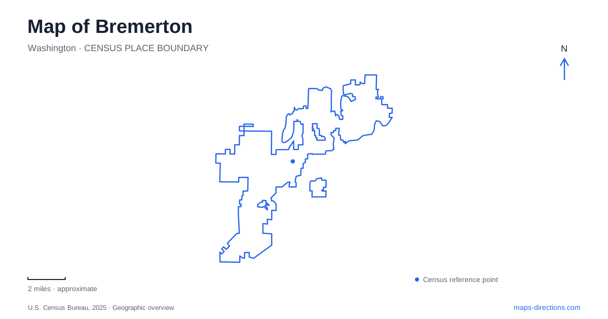
Street tiles load from OpenStreetMap when opened. The blue line shows the 2025 Census boundary.
- State
- Washington
- Population · July 2025
- 45,482
- Land area
- 28.4 sq mi
- Water area
- 3.7 sq mi
Bremerton’s geography is organized around water in several different forms: the downtown waterfront on Sinclair Inlet, the narrower channel crossed by the Manette and Warren Avenue bridges, and ferry routes connecting the city with other shores. The naval shipyard adds another major waterfront presence. A local overview becomes clearer when these features are named separately, because an inlet-facing plaza, a bridge approach, and a ferry terminal serve different parts of the same maritime city.
Harborside and a naval building that moved
Harborside Fountain Park is a downtown plaza at 251 First Street. Its roughly two acres contain fountains, public art, seating, and the Puget Sound Navy Museum. The nearby conference center and marina setting face Sinclair Inlet, placing visitor facilities close to the working transport waterfront.
The museum occupies Building 50, constructed by the Navy in 1896 as the shipyard’s first administrative headquarters. The building moved when Dry Dock 2 was constructed, later shifted to Farragut Avenue, and moved again in 2006 to its current First Street site. The museum reopened there in 2007 after renovation.
This history gives Bremerton’s waterfront a distinctive architectural story. Building 50 is connected to the shipyard by its origins and former functions, but its present public setting reflects a deliberate relocation. The plaza and museum make naval history accessible outside the building’s earlier working-yard context, while preserving much of its exterior character.
Ferry geography at First Street and Washington Avenue
Washington State Ferries identifies its terminal at 211 First Street. Kitsap Transit’s passenger-only Seattle service uses the Transportation Center at 10 Washington Avenue and connects with Pier 50 in downtown Seattle. Local foot-ferry routes also link the waterfront with Port Orchard and Annapolis.
These routes create several different cross-water relationships. Seattle service crosses Puget Sound toward the larger regional center, while the Port Orchard and Annapolis services connect nearby Kitsap communities. A ferry symbol on a broad map can conceal those differences, especially when multiple operators use the same waterfront area.
For drivers arriving by state ferry, an approximately 959-foot tunnel carries unloading traffic toward Burwell Street. Pedestrians and bicycles do not use that tunnel. This physical separation explains why the vehicle exit route differs from the walking experience near the terminal and plazas. It is a particular feature of the downtown street network, not simply a difference in ferry schedules.
Bremerton’s Harborside district consequently works as both a destination and an interchange. People may arrive for the museum or waterfront, continue by bus, cross to another Kitsap shore, or leave by road after a vehicle ferry trip. The First Street–Washington Avenue area brings those movements into a compact setting.
Across the Narrows to Manette
The Manette Bridge crosses Port Washington Narrows, linking the downtown side with the Manette neighborhood. Cafes and shops across the bridge provide a continuation of the urban outing, while the crossing itself reveals the channel that divides the city’s developed shores.
The Narrows should be distinguished from the Sinclair Inlet waterfront near the ferry terminal. The two are connected parts of the wider water landscape, but they create different local settings. Along the channel, bridges are dominant landmarks; around Harborside, docks, ferry movements, and the shipyard shape the view.
For Bremerton, the bridges are therefore more than road links. They organize the relationship between neighborhoods and make the city’s water-shaped layout visible. The name Manette identifies both a crossing and a district with its own streets and commercial places, rather than a detached attraction beyond the city.
Evergreen between the two bridges
Evergreen Rotary Park occupies the waterfront along Port Washington Narrows between the Warren Avenue and Manette bridges. Its approximately ten acres include around 1,900 feet of shoreline, walking paths, picnic shelters, a boat ramp, and an inclusive playground. The park offers a broader recreation landscape than the hard-surfaced downtown plazas.
The Kitsap 9/11 Memorial adds a commemorative setting overlooking the channel. It incorporates artifacts and steel from the World Trade Center, placing a nationally significant remembrance site within a neighborhood waterfront park. The park’s community gatherings, play areas, and shoreline access coexist with that quieter memorial purpose.
Bremerton’s map is especially revealing when Harborside, Manette, and Evergreen are viewed together. The first concentrates ferries and naval interpretation, the second shows how a bridge connects urban neighborhoods, and the third opens a longer stretch of channel-side public space. Their distinct relationships with the water explain much of the city’s character.
Map and statistics: U.S. Census Bureau, 2025 Gazetteer, January 2025 generalized place boundaries and Vintage 2025 population estimates. Local references: City of Bremerton; Puget Sound Navy Museum; Washington State Department of Transportation; Kitsap Transit. Article prepared by Maps & Directions.