Map of Brea
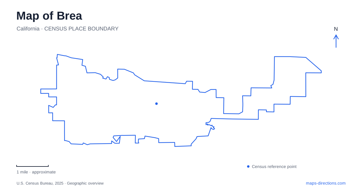
Street tiles load from OpenStreetMap when opened. The blue line shows the 2025 Census boundary.
- State
- California
- Population · July 2025
- 47,260
- Land area
- 12.6 sq mi
- Water area
- 0.0 sq mi
Brea's map preserves several histories in its present-day landscape. A former railway has become an east–west linear park, the Olinda hills retain evidence of oil extraction, and Carbon Canyon contains both flood-control infrastructure and recreational open space. These are related parts of the city's geography, but they produce very different routes on the ground. A paved ride across town and a hillside history walk should be read as separate experiences.
The former railway crosses the developed city
The Tracks at Brea is a four-mile linear park built from a former railroad and depot corridor. The city describes a paved two-way bikeway and a separate pedestrian path, with interpretive material explaining local history. Its east–west alignment makes the route a useful organizing feature across the developed area rather than a loop confined to one neighborhood park.
The former transport use explains the trail's overall shape. A rail corridor tends to connect places along a line; a conventional park often gathers facilities around a central lawn or playground. Looking at the route in segments helps identify where a street crossing or access point belongs within the larger connection. The separate walking and cycling surfaces are also worth retaining on a close map because they organize movement differently from a single shared sidewalk.
Olinda puts the oil landscape in view
The Olinda Oil Museum and Trail occupies a site off Santa Fe Road in the Olinda Ranch neighborhood. The former field office, original well equipment and records vault connect the present park to the oil operation that once shaped these hills. Rather than presenting the industrial past only through indoor displays, the site retains objects and terrain that help explain how work was arranged across the landscape.
For Brea, that history is visible in the contrast between a residential neighborhood name and the older extraction landscape it surrounds. The museum and trail are at 4025 Santa Fe Road. Their setting differs from the separate local-history museum near City Hall Park. The shared municipal history does not make the two institutions one site: Olinda focuses attention on the oil field and its hillside setting.
A hillside loop has a different profile
The official Olinda trail map describes a two-mile route with about 275 feet of vertical elevation and switchbacks. It identifies remaining pumps, pipes, exposed rock layers and views across the surrounding counties. Those details make the route more than a line between scenic points: changes in elevation and industrial remnants are central to what the walk reveals.
The trail begins at the eastern end of the museum parking area and eventually returns by Santa Fe. The city's trail information excludes bicycles, distinguishing this route from the urban bikeway. A map that shows both as recreational lines should therefore retain the route type and terrain information. The hillside loop is not simply an alternative paved segment of the cross-town trail.
Carbon Canyon combines water infrastructure and recreation
Carbon Canyon Regional Park is a county-operated destination at 4442 Carbon Canyon Road. Its official map identifies the creek, dam, fishing areas, developed recreation grounds and trails toward the redwood grove. The landscape has several layers: engineered water management, maintained park facilities and more natural-looking trail areas occupy the same broader setting.
A Brea park itinerary can use those layers to choose a focus. A picnic near developed facilities and a walk toward the grove are different ways to experience the site. The map distinguishes paved walkways from multi-use trails and maintenance roads, so its legend matters more than the apparent proximity of two features. The dam and creek provide orientation without implying that every service road is an ordinary visitor route.
Lambert Road changes its name toward the canyon
The regional park's vicinity map places Lambert Road, Valencia Avenue, Birch Street and Carbon Canyon Road in one connected local picture. Museum material explains that Lambert becomes Carbon Canyon Road east of Valencia Avenue. This name transition helps reconcile an urban street description with directions emphasizing the canyon landscape.
That transition is useful when comparing the former rail corridor, Santa Fe Road's oil-history site and the county park. The places belong to the same eastern setting, yet their names describe different kinds of geography: a city street, an industrial neighborhood and a canyon. Keeping all three visible makes the relationship clearer than viewing each attraction in isolation.
Read the city through its inherited corridors
A map of Brea is especially informative when the railway and oil-field histories are read alongside the current recreation network. The straight regional connection across developed blocks contrasts with the climbing loop through Olinda, while Carbon Canyon introduces the creek and dam landscape. Choose the route appropriate to the activity, but retain that wider context: it explains why these trails have different shapes, surfaces and purposes within a relatively compact area.
Map and statistics: U.S. Census Bureau, 2025 Gazetteer, January 2025 generalized place boundaries and Vintage 2025 population estimates. Local references: City of Brea; OC Parks; Brea Museum and Historical Society. Article prepared by Maps & Directions.