Map of Braintree Town
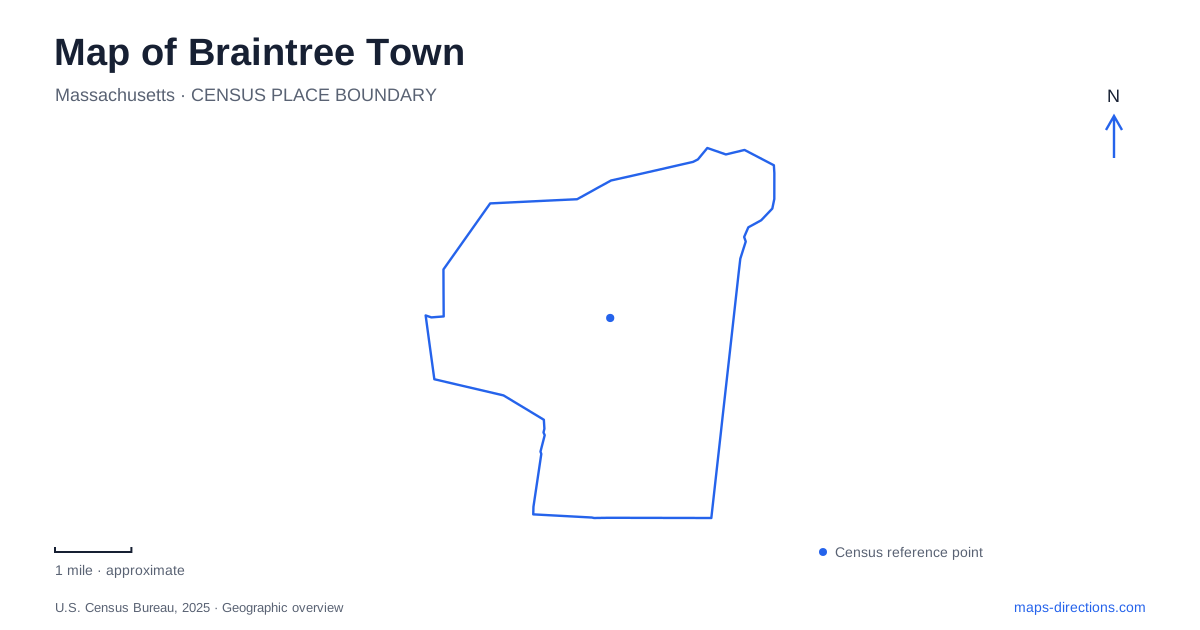
Street tiles load from OpenStreetMap when opened. The blue line shows the 2025 Census boundary.
- State
- Massachusetts
- Population · July 2025
- 38,957
- Land area
- 13.8 sq mi
- Water area
- 0.8 sq mi
Braintree Town has several histories that require a careful reading of geography. Its colonial boundaries were much larger than the present municipality, one of its best-known historic houses was relocated, and a major park is shared with neighboring Weymouth. The modern landscape also includes an estuary, a recreational lake and protected water-supply land. These distinctions make the area more interesting than a single label suggesting either a historic town center or a Boston suburb.
Historic boundaries explain the presidential connection
The municipality incorporated in 1640 occupied territory that was later divided among several communities, including Quincy and Randolph. That changing geography explains why historical accounts identify the area as the birthplace of John Adams and John Quincy Adams, even though the surviving presidential birthplaces are now in Quincy. The houses themselves did not move to another city; the boundaries changed around them.
The National Park Service preserves the two birthplaces on Franklin Street, in their original locations beside the former Old Coast Road. This is an important distinction for anyone using a map of Braintree Town to explore its colonial associations. A historical birthplace description is not always a current address. The wider early settlement and the present municipal outline should be read as different layers of the same regional history.
The Thayer birthplace did move
The General Sylvanus Thayer Birthplace presents the opposite situation. The house at 786 Washington Street began around 1720 and was later enlarged into its familiar saltbox form. Thayer, associated with the development of West Point and engineering education, was born there in 1785. It originally stood on a farm about a mile south of its present setting.
Industrial development threatened that original location in the late 1950s. The building was transferred to the historical society, moved and restored, with dedication at its present site in 1960. The society's account distinguishes surviving original materials from carefully made replacement timbers. The museum therefore preserves a substantial historic building while openly acknowledging the work needed to save it.
In Braintree Town, this relocation brings the house close to the civic and historical district around Washington Street. The nearby Gilbert L. Bean Barn is a later, colonial-style addition built in 1975, rather than an original agricultural outbuilding carried over from the eighteenth-century farm. The Mary Bean Cunningham Historical Resource Center followed in 1995, adding library, research and collection-storage functions. Those different construction dates help explain how the historical campus was assembled.
Washington Street and the civic landscape
The municipal walking map places Town Hall, French's Common, library buildings and historical-society properties within a compact central area. Town Hall dates from 1913, while the surrounding green mall and monuments give the public buildings a shared setting. The map also identifies the nearby academy campus, another part of Sylvanus Thayer's educational legacy.
These places should be understood as a collection of institutions with distinct purposes. A house museum, a research center, a school and a municipal building can stand close together without sharing public access arrangements. The historical society's current headquarters and resource-center address is 31 Tenney Road; its birthplace museum uses Washington Street. Older walking literature can be useful for understanding the district's layout, but the operator's current address is the better reference for a specific research visit.
Pond Meadow began with flood control
Pond Meadow Park spans Braintree and Weymouth and originated as a project to reduce flooding at Weymouth Landing. A regional recreation and conservation district was established in 1972, land acquisition followed in 1974, and the park opened in May 1976. Its dam and earthen dike were central to that early purpose. Walking and cycling facilities developed alongside the flood-control landscape, with the main paved path completed in 1984.
For Braintree Town, the park is both a local outdoor destination and a shared regional resource. Its operator identifies vehicle approaches from each community, including Summer Street on the Weymouth side. A broad park outline can conceal that distinction between entrances. The landscape is intended for passive recreation and conservation, rather than functioning as a large athletic-field complex.
Three different relationships with water
Sunset Lake supports the recreational setting around Furlong Park, while a preserved parcel on Pond Street protects additional lake frontage through a conservation restriction. Great Pond and the Upper Reservoir belong to a different landscape: the town's open-space plan identifies wooded water-supply protection land near West Street. A water body visible beside a road is not automatically a public swimming destination.
East Braintree adds a coastal dimension where the river meets tidal waters. The open-space plan describes marinas, salt marsh and the walking connection between Watson Park and Smith Beach. Braintree Town consequently combines inland freshwater recreation, water-supply protection and an estuarine waterfront. Reading those uses separately gives the map a clearer purpose and connects its public spaces to the water systems that shaped them.
Map and statistics: U.S. Census Bureau, 2025 Gazetteer, January 2025 generalized place boundaries and Vintage 2025 population estimates. Local references: Town of Braintree; National Park Service; Braintree Historical Society; Town of Braintree / WalkBoston; Pond Meadow Park. Article prepared by Maps & Directions.