Map of Bozeman
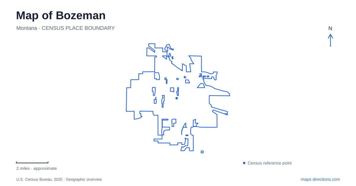
Street tiles load from OpenStreetMap when opened. The blue line shows the 2025 Census boundary.
- State
- Montana
- Population · July 2025
- 58,814
- Land area
- 21.4 sq mi
- Water area
- 0.1 sq mi
Bozeman's central landscape can be read through three contrasting lines: the commercial frontage of Main Street, the diagonal Gallagator trail corridor, and the rising ground of Peets Hill. They bring shops, neighborhood parks, public art, and open hillside into a relatively compact map. Farther south, Kagy Boulevard and the Museum of the Rockies introduce the Montana State University campus setting. Following these connections gives a more revealing picture than treating downtown and outdoor recreation as unrelated places.
Four blocks of commercial history
The city's historic preservation guidelines describe the Main Street Historic District as a four-block commercial area on the principal east-west street. Brick buildings, many two stories tall, preserve the scale of late nineteenth- and early twentieth-century commerce. The district also includes a small number of buildings on Tracy Avenue, so its historic fabric extends slightly beyond the main frontage.
This compact form explains the usefulness of a close street view of central Bozeman. The significant pattern is a sequence of neighboring storefronts rather than a single monument in an open square. Looking along Main Street and then into the intersecting blocks reveals how a commercial district can remain recognizable through repeated building heights, materials, and narrow frontages.
The public library at 626 East Main Street provides another strong reference on the same east-west axis. It is especially useful for understanding the transition from the downtown street environment toward trails and open ground. Main Street therefore serves two roles in a local itinerary: a commercial destination in its own right and an orientation line for the landscape immediately beyond it.
A railway alignment becomes everyday open space
The Gallagator Trail takes a diagonal course through the city on a former railroad corridor. Its route passes the Sculpture Park, Bogert Pool and playground, and Langhor Park. At Langhor, a climbing boulder and pollinator garden create reasons to stop along a route that also functions as a connection toward downtown and the university.
That inherited railway geometry distinguishes the trail from an ordinary sidewalk. It cuts across the pattern of local streets, joining places that might seem unrelated when viewed only through a road network. The sequence of parks gives the corridor a changing character: public art, recreation facilities, and planted space become successive parts of a journey rather than isolated green rectangles.
For a walk through Bozeman, the Gallagator offers a useful organizing route without requiring an excursion into the surrounding mountains. The trail steward identifies connections toward Peets Hill, Lindley Park, and Highland Glen. Those branches make the corridor more than a linear out-and-back, although the particular combination chosen determines the length and terrain of the outing.
Peets Hill and Burke Park are the same landscape
Peets Hill is also known as Burke Park. Knowing both names helps reconcile trail descriptions with a map that may emphasize one label. The hillside is a different kind of public space from the narrow former rail corridor: here, a route leads upward toward overlooks and a walking loop rather than simply continuing through the neighborhood.
A twelve-acre addition at the southern end supported improvements completed in 2023. The project included two overlooks and an all-abilities trail to the top, while extending the Chris Boyd Memorial Trail to Church Avenue. These are specific connections worth locating when comparing ways onto the hill. The Church Avenue relationship ties the slope back into the street and trail network below.
The hill also supplies a change in perspective within Bozeman. A downtown walk is largely experienced between building fronts; a climb or accessible ascent onto open ground reorganizes that experience around longer views. Combining those environments creates variety without inventing a rigid sightseeing circuit. Someone interested in the commercial district can remain on Main Street, while a longer outing can add the hillside and its overlooks.
Kagy Boulevard and the museum's campus edge
Museum of the Rockies is at 600 West Kagy Boulevard. Its main entrance is on the Montana State University campus, south of Kagy and just west of South Willson Avenue and South Third Avenue. This placement is a clear southern anchor for a map of Bozeman, particularly when pairing the museum with a campus visit.
The institution's dinosaur exhibits and Taylor Planetarium make it a substantial indoor destination rather than simply a landmark beside a trail. Kagy Boulevard supplies the road reference, while the campus setting explains the larger group of educational buildings around it. The museum provides vehicle parking and a bicycle rack near the entrance. A day combining Main Street, the Gallagator corridor, Peets Hill, and the museum consequently crosses several distinct local environments: historic storefronts, reused railway land, an open hillside, and a university edge.
Map and statistics: U.S. Census Bureau, 2025 Gazetteer, January 2025 generalized place boundaries and Vintage 2025 population estimates. Local references: City of Bozeman; Bozeman Public Library; Gallatin Valley Land Trust; Museum of the Rockies. Article prepared by Maps & Directions.