Map of Boynton Beach
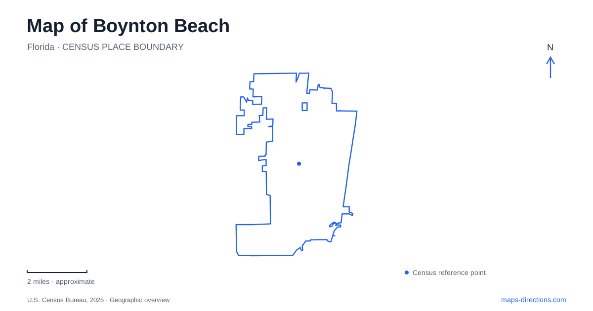
Street tiles load from OpenStreetMap when opened. The blue line shows the 2025 Census boundary.
- State
- Florida
- Population · July 2025
- 82,396
- Land area
- 16.1 sq mi
- Water area
- 0.4 sq mi
Boynton Beach has several different waterfront geographies, and a useful map should keep them separate. Oceanfront Park faces the Atlantic, the harbor marina serves boating trips, Intracoastal Park provides another waterside public space, and Green Cay offers an inland constructed-wetland landscape. Their names may all suggest a day near water, but the roads, facilities and kinds of movement involved are quite different.
The municipal ocean park has an Ocean Ridge address
The city's accessibility information places Oceanfront Park at 6415 North Ocean Boulevard in Ocean Ridge. This is a useful example of why a facility's operator or familiar name does not always match the municipality in its street address. A search limited to the city's central streets can therefore miss the actual beach destination.
For a Boynton Beach ocean outing, use the park's full name and North Ocean Boulevard address. The city describes a central beach entrance near the restrooms and snack bar with a ramp and beach wheelchairs. That identifies a particular access area within the park rather than promising that every point along the shoreline has the same arrival arrangement.
The address also distinguishes the beach from the marina. Both can appear in waterfront visitor information, yet one is a place to reach the sand and the other a place associated with boats and charters. Choosing between those destinations should happen before comparing driving routes, because the difference concerns the purpose of the visit rather than just a preferred parking location.
Casa Loma Boulevard locates the harbor marina
Boynton Harbor Marina is at 735 Casa Loma Boulevard. The city's waterfront page places it half a mile south of Boynton Inlet and identifies activities such as fishing and diving charters, boat rentals and waterfront dining. The inlet is a geographical reference for the marina, not another name for its street entrance.
A map can show the relationship between the harbor and inlet while still directing a visitor to the operator or dock specified for a booked activity. A charter departure, a meal and a general waterfront walk can share the marina setting without using precisely the same meeting point. Casa Loma Boulevard identifies the facility at street scale; the booking's named location supplies the remaining detail.
For a Boynton Beach route involving the ocean park and marina, preserve both addresses. Their shared coastal setting does not make one a substitute for the other. The distinction is especially useful when an itinerary uses the broad phrase “waterfront” for several stops that actually serve different functions.
Intracoastal Park is another separate public space
The city's recreation guide lists Intracoastal Park at 2240 North Federal Highway, with a walking path, playground, picnic facilities and fishing opportunities. Its North Federal Highway address places it within a different road corridor from North Ocean Boulevard or Casa Loma Boulevard. These three street names provide a practical framework for separating the coastal destinations.
The park's name identifies the waterway setting, while its amenities describe a land-based public visit. Someone attending a gathering there should not assume that an ocean-beach address or a marina address will lead to the same grounds. On a regional map, the sites can look like parts of one continuous waterfront; at neighborhood scale, their road approaches make the differences clear.
Ocean Avenue adds a historic schoolhouse destination
The Schoolhouse Children's Museum occupies the renovated 1913 elementary-school building at 129 East Ocean Avenue, according to the city's local-history collection. Its historic educational use remains visible in the institution's name. This creates a cultural destination with a different purpose from the waterside parks.
Within Boynton Beach, the schoolhouse address is also a reminder to distinguish Ocean Avenue from Ocean Boulevard. The similar wording does not identify the same road. East Ocean Avenue locates the historic building, while North Ocean Boulevard locates the ocean park. Keeping the street suffix and directional prefix intact resolves an ambiguity that can otherwise survive even when the main street word looks correct.
Hagen Ranch Road reaches the inland wetlands
Green Cay Nature Center and Wetlands is at 12800 Hagen Ranch Road. Palm Beach County describes 100 acres of constructed wetland and an elevated boardwalk used for habitat interpretation. This is an inland ecological setting, not another entrance to the Atlantic or Intracoastal shore.
The county gives a particularly useful local warning: the correct wetlands entrance is south of the nearby Native Green Cay farm at 12750 Hagen Ranch Road. The entrance signs say “Green Cay Wetlands.” The shared name and neighboring addresses can make the two properties easy to confuse, so this distinction is worth retaining in the route plan.
A complete Boynton Beach map can therefore connect several distinct experiences without merging them. North Ocean Boulevard reaches the beach park, Casa Loma Boulevard the marina, North Federal Highway the Intracoastal park, East Ocean Avenue the schoolhouse and Hagen Ranch Road the wetlands. Water is a recurring theme, but the exact street and facility names explain what each destination actually is.
Map and statistics: U.S. Census Bureau, 2025 Gazetteer, January 2025 generalized place boundaries and Vintage 2025 population estimates. Local references: City of Boynton Beach; Palm Beach County. Article prepared by Maps & Directions.