Map of Bothell
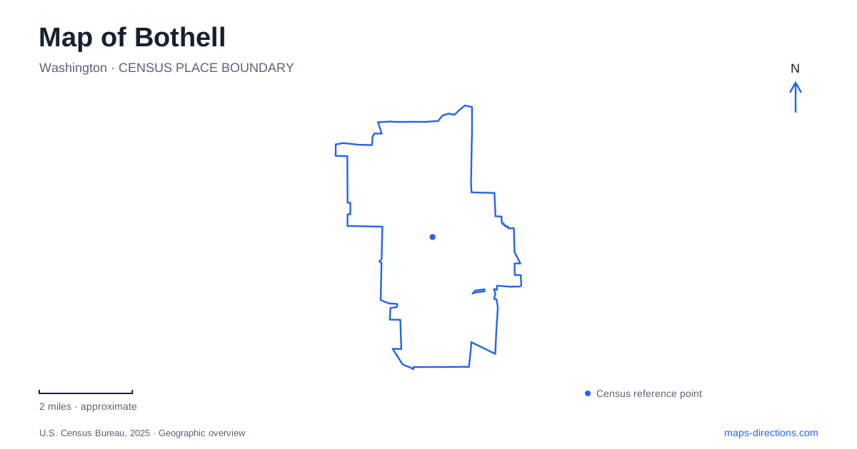
Street tiles load from OpenStreetMap when opened. The blue line shows the 2025 Census boundary.
- State
- Washington
- Population · July 2025
- 52,199
- Land area
- 13.6 sq mi
- Water area
- 0.0 sq mi
Bothell's river and creek corridors explain much of its map. The Sammamish River passes the downtown area, while North Creek reaches it near the shared university and college campus. Parks, trails, restored buildings, and former working landscapes occupy places shaped by those waters. Reading the waterways first makes the relationship between downtown streets, open space, and educational buildings clearer than beginning only with the highway junctions.
The landing beside downtown
Park at Bothell Landing is on Northeast 180th Street along the Sammamish River, just south of downtown and State Route 522. A pedestrian bridge, hand-carried boat launch, playground, amphitheater, and historic buildings create several reasons to stop at the same riverfront location. The trail connections make it useful for a longer walk, while the museum buildings support a visit focused on local history.
The Hannan House, Beckstrom cabin, and schoolhouse form the historical collection. The house was moved from Main Street to the park in 1978, so the current arrangement is a preservation setting rather than an unchanged nineteenth-century streetscape. Looking at the three buildings together highlights different domestic and educational settings from the community's past. Their placement beside the river also keeps the earlier settlement story connected to the waterway that helped sustain it.
The park's public grounds and the museum's interior visiting arrangements are different parts of the experience. A river walk can be organized around the bridge and paths, while a museum visit should be timed for the historical society's opening schedule. This is especially useful when including the park in a day that also involves downtown shops or a campus appointment.
Blyth Park and the former golf course
Blyth Park is at 16950 West Riverside Drive. The property once held a brick factory before the local Lions Club donated it to the city in 1959. Its present picnic shelters and green space therefore occupy a site with an industrial predecessor. The park connects with the West Riverside Trail and the regional Burke-Gilman and Sammamish River trail system.
It also provides a relationship to the former Wayne Golf Course, now Wayne Open Space. The old golfing terms still help describe the geography: the Back Nine is east of 96th Avenue Northeast and connected to Blyth Park, while the Front Nine lies west of that road. These labels identify portions of an open-space property, not an operating course to book for a round.
The city is continuing to plan the site's long-term treatment, with ecological restoration and compatible recreation central to the work. For a map reader, the important point is the existing river corridor and its connections. Proposed facilities shown in planning materials should not be mistaken for a completed visitor layout. The land's transition from golf course to protected open space is itself part of the local story.
North Creek on the shared campus
The University of Washington Bothell and Cascadia College share a campus where the buildings occupy the hillside above North Creek's floodplain. The state purchased the former Boone/Truly Ranch property in 1993, and campus development included a major restoration of the creek and surrounding wetland. Previously straightened and diked channels and pastureland were reshaped to restore a more complex riverine environment.
This arrangement gives the campus a distinctive map pattern. Academic buildings and roads occupy higher ground, while the restored lowland provides habitat, stormwater functions, and research opportunities. The contrast is deliberate: the campus was designed around the floodplain rather than spreading buildings evenly across the entire property. It offers a particularly clear example of how topography and water influence urban land use.
A wetland viewed from its edges
The North Creek restoration covers about 58 acres and began with campus construction in 1997. The university invites visitors to use the paved perimeter trail and the boardwalk leading toward the creek, with deeper access regulated to protect the ecosystem. These paths provide an opportunity to observe a managed restoration, rather than a conventional park arranged around sports or picnic facilities.
For a Bothell outing, the campus wetland and the downtown landing make an informative pair. One preserves buildings associated with earlier community life; the other restores ecological functions on land previously modified for agriculture. Both show that the present landscape has been actively shaped, even where trees and water now dominate the view.
Following the larger pattern
A map of Bothell can be read as a connected sequence along the river, with the North Creek campus adding an important branch. The landing, Blyth Park, and Wayne Open Space offer different settings within the Sammamish corridor. Keeping their individual histories and access points visible makes a route more meaningful, while the watercourses provide the common geographic thread tying the places together.
Map and statistics: U.S. Census Bureau, 2025 Gazetteer, January 2025 generalized place boundaries and Vintage 2025 population estimates. Local references: City of Bothell; Bothell Historical Museum; University of Washington Bothell. Article prepared by Maps & Directions.