Map of Bossier City
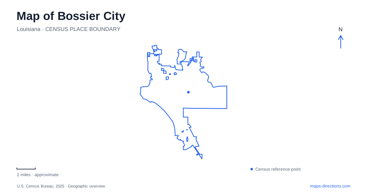
Street tiles load from OpenStreetMap when opened. The blue line shows the 2025 Census boundary.
- State
- Louisiana
- Population · July 2025
- 63,259
- Land area
- 44.4 sq mi
- Water area
- 1.2 sq mi
Bossier City faces Shreveport across the Red River, but the waterway does more than separate two municipal names. Its bridges connect distinct street systems, its developed banks contain entertainment districts, and its floodplain supports wildlife habitat farther from downtown. A useful local map therefore begins with the river and then distinguishes three different kinds of destination: the renewed downtown district, the military aviation landscape and the southern refuge. They share a regional setting without functioning as one continuous visitor area.
One bridge, several familiar names
The Texas Street Bridge carries US 80 over the Red River. Louisiana's transportation department also identifies it as the Long-Allen Bridge and describes its role connecting downtown Shreveport with commercial and residential areas on the opposite bank. These are names for the same crossing, not alternative bridges requiring different approaches. Recognizing that relationship helps when a road map uses a highway number while an event announcement uses a local landmark name.
For Bossier City, the crossing is an especially useful reference for the western part of town. It establishes a direct geographic relationship with the neighboring downtown rather than treating every destination in the two-city area as an undifferentiated regional address. Locate the riverbank first, then the street or district on the appropriate side.
The Bakowski Bridge of Lights adds another identity to the structure. Its organizers describe a programmable LED installation whose work began in September 2021, following repair and painting of the bridge. The lighting project belongs to the existing Texas Street crossing. A photograph emphasizing illuminated steelwork and a transportation map emphasizing US 80 can thus depict the same place for entirely different purposes.
How Old Bossier became the East Bank District
The city's redevelopment account traces the East Bank project to public discussions in 2014 and authorization of its first phase in 2015. The area previously known as Old Bossier gained a renewed public space and a new district identity. This history matters when comparing older descriptions with present-day labels: a changed name can describe a redevelopment of an established area rather than a separate newly founded neighborhood.
Bossier City's East Bank Plaza is the focal gathering space within that district. The city describes a plaza occupying roughly a quarter of a block, designed to accommodate everyday public use as well as festivals and outdoor activities. Its scale is smaller and more concentrated than a broad riverfront entertainment label might suggest.
The redevelopment was intended to connect the older downtown area with adjacent riverfront development. On a map, the plaza provides a specific civic reference inside that wider relationship. The district name describes an area; the plaza identifies the public space at its heart. Neither term should obscure the individual streets and properties around it.
Barksdale introduces a different kind of boundary
The Barksdale Global Power Museum interprets aviation and the history of strategic bombardment. Its aircraft displays include examples from the Second World War and the Cold War, while indoor galleries add context about service, training and deterrence. The airfield setting explains why the museum appears within a much larger aviation landscape rather than among ordinary downtown museum blocks.
A visit from Bossier City needs to account for the fact that the museum is on an operating military installation. The museum directs visitors to arrange access in advance. Its visitor procedure, rather than the apparent proximity of a road to an aircraft display, determines how a public visit can take place. Check the museum's current application guidance before setting the itinerary.
The distinction also clarifies the map itself. A runway, an aircraft display and a public entrance serve different functions. The installation boundary is meaningful even when satellite imagery makes the buildings easy to recognize. Aviation history is an accessible subject here, but a museum listing does not turn the surrounding base into an unrestricted street network.
The southern river landscape has several refuge units
Red River National Wildlife Refuge extends beyond a single parcel. The U.S. Fish and Wildlife Service identifies units in several northwestern Louisiana parishes and describes habitat supporting waterfowl, wading birds, songbirds and other wildlife. Consequently, the refuge's regional name should not be read as one compact park beside the downtown bridges.
For a local outing, the Headquarters Unit is the important distinction. The agency concentrates many activities such as hiking, birdwatching and photography there and gives its address as 150 Eagle Bend Point. Its published approach follows Arthur Ray Teague Parkway south from the central urban area. That parkway provides the geographic thread between the developed river corridor and the refuge destination.
Read a map of Bossier City at these different scales: the bridge between neighboring downtowns, the plaza within a redeveloped district, the museum within an air base, and the local visitor unit within a regional refuge. Each relationship reveals something specific about the place and prevents a large area label from replacing the destination actually being sought.
Map and statistics: U.S. Census Bureau, 2025 Gazetteer, January 2025 generalized place boundaries and Vintage 2025 population estimates. Local references: Louisiana Department of Transportation and Development; Shreveport Regional Arts Council; City of Bossier City; Barksdale Global Power Museum; U.S. Fish and Wildlife Service. Article prepared by Maps & Directions.