Map of Bolingbrook
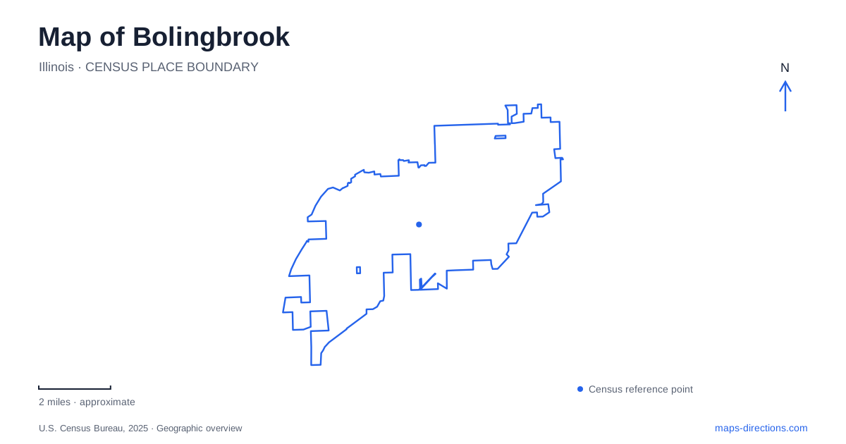
Street tiles load from OpenStreetMap when opened. The blue line shows the 2025 Census boundary.
- State
- Illinois
- Population · July 2025
- 74,803
- Land area
- 25.0 sq mi
- Water area
- 0.2 sq mi
Bolingbrook sits among Chicago's southwestern suburbs, where expressway interchanges, shopping districts and river preserves create several different kinds of journey. A visitor heading to a Boughton Road store needs a different final approach from someone meeting a group at Hidden Oaks or taking children to Pelican Harbor. The municipal outline gives these destinations a common frame, but it does not make them one walkable center. Begin with the actual facility, then identify its access road. That simple distinction is especially useful where neighboring municipalities share the same wider recreation and shopping landscape.
Match the highway approach to the destination
Interstate 55 and Interstate 355 provide the regional framework. I-55 links the southwest suburban corridor with Chicago, while I-355 carries traffic along the western suburban belt. On a local map, the interchange system is a way to identify which side of the village you are approaching, rather than a reason to select one exit for every destination. Follow the destination's named access street when moving from the regional view to the final approach.
Route 53, also signed locally as Bolingbrook Drive, is another useful reference. Its connection with I-55 distinguishes it from streets that merely pass near an expressway. A route line crossing the highway graphic does not automatically mean there is an interchange at that point. Compare the actual ramps and the side of the road containing your destination before committing to the last turn, particularly when arriving from an unfamiliar direction.
Boughton Road and the Promenade are an arrival area
The Promenade's published address places it on East Boughton Road. Its directory shows an internal arrangement of buildings and access areas, so the shopping-center name is only the first part of the destination. A restaurant, shop and meeting point can occupy different positions within that development. Choose the individual business or an agreed entrance before setting the final map pin, rather than using a general label and searching for the correct building after arrival.
For a Bolingbrook visit that includes both shopping and an outdoor stop, establish the order of those activities before leaving the shopping area. Boughton Road is a useful organizing reference, but two destinations associated with that corridor need not share a driveway or the same side of the road. A close view of the shopping directory answers a different question from the broad road map: where to arrive within the property, rather than how to reach the district.
Hidden Oaks and Hidden Lakes have separate addresses
The Forest Preserve District of Will County lists Hidden Oaks Preserve at 419 Trout Farm Road, north of Boughton Road. Hidden Lakes Trout Farm has a separate address at 475 Trout Farm Road. These related destinations should not be collapsed into a single anonymous green patch. A nature-center meeting, a fishing visit and a trail outing each benefit from selecting the intended facility before starting the drive.
The preserve combines prairie, woodland and savanna rather than one uniform wooded area. Its two named trails also have different roles: the natural-surface Hidden Oaks Nature Trail explores the preserve, while the paved DuPage River Trail belongs to a wider network. A bridge over the East Branch of the DuPage River connects that corridor toward Whalon Lake. The nature center and fishing lakes therefore sit within a larger river landscape. Seasonal restrictions can close the road and parking area leading down to the trout farm while the walking trail remains available; the district's current access notice distinguishes those arrangements.
Place Whalon Lake in its neighboring setting
Whalon Lake's official access description is on Royce Road, west of Route 53, with a Naperville address. It is therefore a nearby recreation destination to consider alongside the village map, rather than something to place inside the municipal boundary simply because it is convenient from local neighborhoods. The forest preserve's map identifies separate lake, trail and access features that a general city outline cannot show.
The preserve surrounds an 80-acre lake within a much larger mix of prairie, wetland and river habitat. Its paved DuPage River Trail segment connects with Hidden Lakes, Greene Valley Forest Preserve and Knoch Knolls Park, extending the recreation map across several agencies' properties. Konicek Grove and Lakeside are separately named picnic shelters, while boating facilities occupy specific shoreline locations. These named features explain why a lake-centered map is more informative here than a single green preserve label: the water, trail connections and gathering places each organize a different part of an outing.
Lindsey Lane is a different recreation destination
Pelican Harbor is listed at 200 Lindsey Lane, separate from the Trout Farm Road preserves and the Boughton Road shopping area. The indoor and outdoor aquatic facilities also have seasonal operating arrangements. The useful mapping decision is to identify the correct facility first, then check the activity information that determines which part of the site you intend to use. Do not carry a nature-preserve arrival pin into an aquatic-center trip simply because both appear in local recreation searches.
A day in Bolingbrook can therefore be organized around a few clear destination clusters: shopping on East Boughton Road, nature and fishing access from Trout Farm Road, lake recreation reached from Royce Road, and swimming at Lindsey Lane. These are geographic distinctions, not a suggested timetable. Choose the cluster that matches the purpose of the visit, retain the exact street address, and expand the map to neighboring communities only when the planned destination or trail connection actually requires it. That produces a more useful map of Bolingbrook than a single central marker for every local activity.
Map and statistics: U.S. Census Bureau, 2025 Gazetteer, January 2025 generalized place boundaries and Vintage 2025 population estimates. Local references: Illinois Department of Transportation; Illinois Tollway; The Promenade Bolingbrook; Forest Preserve District of Will County; Bolingbrook Park District. Article prepared by Maps & Directions.