Map of Boise City
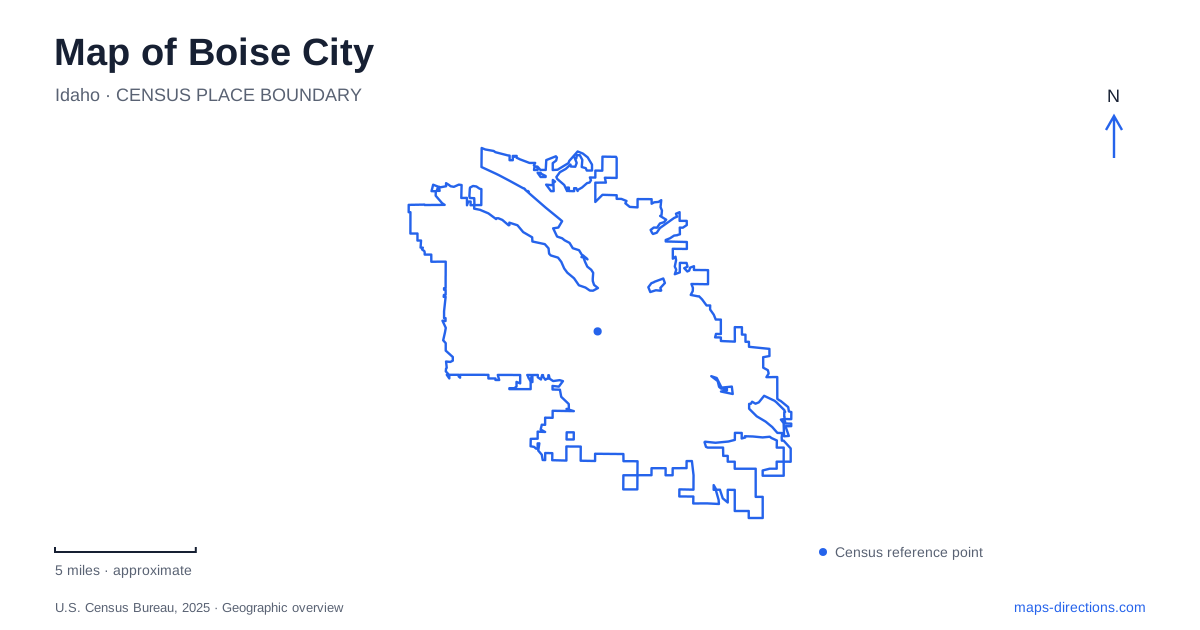
Street tiles load from OpenStreetMap when opened. The blue line shows the 2025 Census boundary.
- State
- Idaho
- Population · July 2025
- 238,429
- Land area
- 86.1 sq mi
- Water area
- 1.0 sq mi
Boise City is organized around a strong contrast between river and foothills. The Boise River Greenbelt links parks through the urban area, while the Ridge to Rivers network climbs into a much drier landscape above it. Downtown sits between those outdoor systems, with Grove Street preserving a distinctive Basque cultural history. To the east, the old penitentiary and Table Rock connect sandstone architecture with the hills from which its material was quarried. These relationships make the map a guide to both movement and local history.
A river corridor with many park settings
The municipal Greenbelt follows the river for nearly 25 miles, connecting more than a dozen major parks. Its eastern reaches extend toward the Barber Valley, while the western corridor continues past the Willow Lane Athletic Complex. It is a linear public landscape with many possible starting points, rather than a single trailhead destination.
Julia Davis Park concentrates several cultural attractions near the river, including the art museum, state history museum and zoo. Ann Morrison Park offers a larger recreation setting with sports facilities and open space. Farther along, Esther Simplot Park and the Quinn pond area emphasize water recreation, while Marianne Williams Park combines ponds, natural areas and Greenbelt paths. On a Boise City map, the park names are useful for breaking the long river corridor into recognizable sections with different purposes.
One important distinction is the Bethine Church River Trail. This gravel riverside route is for walking, with bicycles and e-scooters excluded. Its quieter habitat setting therefore differs from the paved multi-use Greenbelt. A cycling route should follow the designated connections rather than assuming every visible path beside the river permits the same activities.
Grove Street and the boarding-house network
The Basque Block occupies part of Grove Street downtown. Its historic buildings preserve traces of the boarding houses that supported Basque immigrants and workers. The Cyrus Jacobs/Uberuaga House began as an 1864 family home before its later use by Basque families. The Uberuagas purchased it in 1928 and operated a boarding house until 1969; today it forms a central part of the museum's interpretation.
Nearby, the Anduiza building was constructed in 1914 with a boarding house and an indoor fronton, or ball court. The Basque Center at 601 Grove followed in 1949 as a community meeting place. These sites explain the block as a social network, with lodging, recreation and gathering spaces close together. The compact street frontage carries a history much broader than its size suggests, adding a specific cultural layer to the center of Boise City.
Sandstone walls beneath Table Rock
The Old Idaho Penitentiary stands at 2445 Old Penitentiary Road. Construction began in 1870, and prisoners were held there from 1872 until December 1973. Many of its buildings were constructed with sandstone quarried by inmates in the foothills above the site, creating a direct material connection between the prison complex and the nearby terrain.
The preserved buildings and yards now allow visitors to examine more than a century of incarceration history. Their position below the hills is especially apparent when viewed alongside the Table Rock trail network. The architectural site is not simply near a scenic landmark; its construction history is tied to labor on that same hillside.
Table Rock is also sacred to several Native American tribes, a history that predates the prison. The Idaho State Historical Society identifies walking, hiking and cycling routes through the foothills as recreational approaches and recommends trailhead parking near the old penitentiary. Roadside parking near the mesa is limited. The map is most informative when it shows the hill, trail approaches and historic district together rather than reducing the area to a summit marker.
The northern foothill network
Camel's Back and Hulls Gulch provide another foothill setting for Boise City. Residents, supported by local and federal funding, helped protect Hulls Gulch from development in the early 1990s. The reserve now connects with a broader network of routes through native grasses, wooded pockets and creekside vegetation.
Camel's Back hill has a steep approach and stairs to its viewpoint. The nearby Grove area offers a more sheltered setting among trees, while Kestrel, Crestline and Lower Hulls Gulch form a longer combination with climbing, traversing and rockier ground. These differences are visible in the trail map's contours and named junctions.
Lower Hulls Gulch also has an alternating-use arrangement: odd-numbered days are reserved for downhill cycling, while even-numbered days allow foot and horse travel in both directions and cycling uphill. That local management detail matters when choosing a route through Boise City's foothills. The connected lines on a map show the physical network, while trail designations determine how a particular outing can use it.
Map and statistics: U.S. Census Bureau, 2025 Gazetteer, January 2025 generalized place boundaries and Vintage 2025 population estimates. Local references: City of Boise; Basque Museum & Cultural Center; Idaho State Historical Society; Ridge to Rivers. Article prepared by Maps & Directions.