Map of Boca Raton
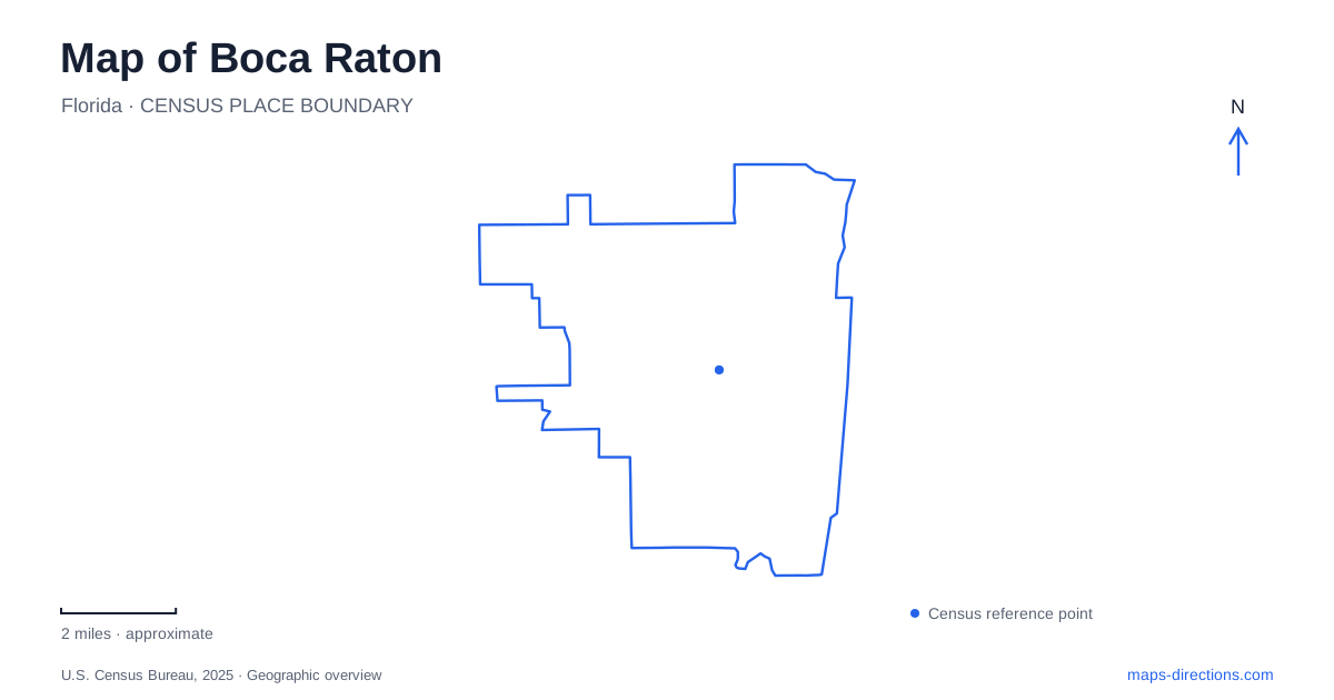
Street tiles load from OpenStreetMap when opened. The blue line shows the 2025 Census boundary.
- State
- Florida
- Population · July 2025
- 101,582
- Land area
- 29.2 sq mi
- Water area
- 2.4 sq mi
Boca Raton's coastal geography becomes clearer when the Atlantic beach and the Intracoastal Waterway are treated as separate destinations. Downtown sits inland from the ocean, with Palmetto Park Road providing an important east–west connection. North–south corridors such as Federal Highway, Dixie Highway, and Ocean Boulevard organize different parts of the city. The result is a map with several parallel settings: a downtown commercial district, a waterfront beside the Intracoastal, and a barrier island with beaches and coastal habitat.
Two downtown commercial clusters
Mizner Park and Royal Palm Place are both downtown destinations, but they occupy different parts of the central district. The city's downtown maps place Mizner Park around Plaza Real and the amphitheater area north of Palmetto Park Road. Royal Palm Place lies farther south, around East Royal Palm Road, Southeast First Avenue, and Southeast Mizner Boulevard.
The distinction provides a useful way to organize a walk. Mizner Park combines shopping, dining, residences, and entertainment in a planned setting. Royal Palm Place gathers restaurants, boutiques, services, and residences in another downtown cluster. Palmetto Park Road acts as a recognizable reference between these areas and also points east toward the water.
Federal and Dixie highways supply the larger north–south structure around the downtown blocks. Their role differs from the smaller streets within the shopping areas: they connect districts, while the internal streets and plazas organize activity within them.
Railway stations serving different areas
Boca Raton has distinct Brightline and Tri-Rail station locations. Brightline uses 101 Northwest Fourth Street, with access to downtown destinations. Tri-Rail uses 680 Yamato Road, with an approach through Technology Way near Congress Avenue. Their shared city name should not obscure the fact that they are separate railway facilities.
This is especially relevant when arranging a pickup or choosing a train for a particular destination. Downtown's museum, dining, and shopping geography relates more directly to the Northwest Fourth Street location. The Yamato Road station belongs to a different part of the city and connects with bus and shuttle services serving nearby employment areas. Naming the operator and street makes the intended station clear.
Palmetto Park Road meets the Intracoastal
Wildflower Park occupies 551 East Palmetto Park Road beside the Intracoastal Waterway. Opened in 2022, it reused a property formerly occupied by the restaurant that supplied its name. The park includes waterfront seating, pedestrian space, an event lawn, and interactive art and water features.
Silver Palm Park, at 600 East Palmetto Park Road, supplies a neighboring waterfront setting associated with boat access. A pedestrian connection beneath the road bridge joins the two parks. This arrangement is an important local detail: the bridge carries east–west road traffic above, while the park connection allows movement between waterfront spaces below it.
For Boca Raton, the paired parks create an intermediate destination between downtown and the Atlantic beach. A visitor can spend time beside the Intracoastal without continuing onto the oceanfront, and the two waters should remain distinct on a route plan.
Ocean parks along the barrier island
Spanish River Park, Red Reef Park, and South Beach Park form a sequence of coastal destinations along the A1A and Ocean Boulevard corridor. Spanish River lies farther north, Red Reef uses 1400 North Ocean Boulevard, and South Beach Park is at 400 North Ocean Boulevard. Their separate addresses help define the length of the public coastal area.
Red Reef adds a specifically underwater attraction: its expanded snorkel trail includes a beach jetty and artificial reefs offshore. The park also has a boardwalk, walking paths, and picnic areas. These features give it a different emphasis from simply choosing any open stretch of sand. Boca Raton's ocean parks share a coastline, but their facilities and internal layouts create different outing possibilities.
A coastal forest at Gumbo Limbo
Gumbo Limbo Nature Center, at 1801 North Ocean Boulevard, protects a remnant of coastal tropical hammock on the barrier island. A boardwalk leads through the forest, while the Ashley Trail reaches a setting overlooking the Intracoastal. Jacob's Outlook, a 40-foot observation tower with a switchback ramp, provides another perspective on the island landscape.
Outdoor aquariums, a butterfly garden, and an on-site university marine-science laboratory add educational uses to the preserve. The center's location makes the island's two sides especially understandable: the oceanfront recreation corridor and the quieter Intracoastal habitat belong to the same narrow coastal landform.
A map of Boca Raton is therefore most useful when it shows these relationships together. Downtown's two commercial clusters, the separate railway stations, the bridge-linked waterfront parks, and the barrier-island destinations each supply a different geographic reference for exploring the city.
Map and statistics: U.S. Census Bureau, 2025 Gazetteer, January 2025 generalized place boundaries and Vintage 2025 population estimates. Local references: City of Boca Raton; Brightline; South Florida Regional Transportation Authority. Article prepared by Maps & Directions.