Map of Bloomington
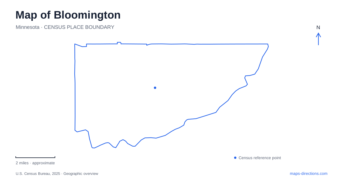
Street tiles load from OpenStreetMap when opened. The blue line shows the 2025 Census boundary.
- State
- Minnesota
- Population · July 2025
- 89,034
- Land area
- 34.7 sq mi
- Water area
- 3.7 sq mi
Bloomington has a striking contrast between intensely developed destinations and broad natural corridors. The Minnesota River valley forms a major landscape edge, while lakes and park reserves occupy substantial land farther west. Mall of America and regional transportation facilities draw attention to the eastern part of the city, but older civic buildings and river crossings reveal a longer history. The map becomes clearer when these places are understood at their own scales rather than treated as interchangeable suburban attractions.
The river valley below the developed land
Minnesota Valley National Wildlife Refuge protects a landscape that continues well beyond one city boundary. Its local education and visitor center stands at 3815 American Boulevard East, providing an introduction to the river environment close to heavily developed commercial areas. The juxtaposition is part of the place's character: streets and large buildings sit near a corridor of wetlands, water and wildlife habitat.
The refuge's Long Meadow Lake map distinguishes several trails and access points. The Hillside Trail begins near the visitor center, while the Old Cedar Avenue crossing provides access to another part of the unit. Those locations reveal the difference between arriving at an interpretive building and exploring the wider refuge landscape. The river valley is an extended area with multiple approaches, not a single park enclosed around one entrance.
An old bridge over Long Meadow Lake
The Old Cedar Avenue Bridge, also called the Long Meadow Bridge, spans Long Meadow Lake rather than the main river channel. That distinction is essential for reading this part of Bloomington. Several stretches of water and crossing infrastructure occupy the same valley, and the familiar bridge name can otherwise suggest the wrong crossing.
Built in 1920, the structure reflects the engineering challenge of spanning the river's broad overflow landscape. Minnesota's transportation department identifies it as a significant historic bridge because of the skill required to respond to those site conditions. Its truss spans make the old road alignment visible even though the transportation network around it has changed.
Today, the refuge map places the bridge within a walking and cycling landscape. A separate connection continues toward the river crossing beneath Highway 77. The old bridge therefore links transport history with contemporary recreation, while the modern highway remains a different line through the valley.
Lakes and habitats in the west
Hyland Lake Park Reserve belongs to the larger Hyland–Bush–Anderson Lakes park system, which covers more than 2,500 acres across its components. The names identify connected public landscapes rather than a single lake with one surrounding park. Three Rivers Park District manages the reserve and, since January 2025, also manages Bush Lake Park and Normandale Lake Park through an agreement with the city.
Richardson Nature Center sits within the Hyland reserve. Its programs interpret oak woodland, prairie and pond habitats, making the center a place to understand the differences within the surrounding green space. A patch of open grassland and a wooded slope represent different ecological conditions even when a small-scale map colors both areas green.
For Bloomington, these western parklands complement the river refuge rather than duplicating it. Hyland's lake recreation and nature education occur in a different setting from the long river-bottom corridor. The reserve's visitor facilities and fishing pier also show how active recreation and habitat interpretation share the same broader public landscape.
An older civic meeting place
The Old Town Hall dates to 1892. It served not only official meetings but also church services and social gatherings, reflecting a period when one community building accommodated several functions. The historical society now operates a museum there, giving the structure a continuing role in explaining the city's past.
Its scale contrasts with the large commercial destinations for which the city is widely known. The building provides evidence of community life before those developments, and its changing use illustrates a form of preservation based on continued public purpose. Looking for the town hall on a map adds a civic reference point to an urban area often described mainly through shopping, hotels and highways.
The mall, the railway and a former stadium
Mall of America occupies the former Metropolitan Stadium site. Its own historical material identifies surviving reminders within the complex, including a home-plate marker, an original stadium chair and a marker for the football field's 50-yard line. These small features preserve the memory of an earlier landscape now almost entirely replaced by another type of destination.
The mall also functions as a transportation hub. Metro Transit places its station on the lower level of the east side, with the Blue Line connecting to Minneapolis–Saint Paul International Airport and downtown Minneapolis. In Bloomington, regional access is therefore concentrated around a destination that serves shoppers, workers and transferring passengers in different ways.
The river refuge, historic bridge, western lake system, town hall and former stadium site reveal successive uses of land. Reading Bloomington through those places connects today's metropolitan economy with older civic life, transportation engineering and the natural valley that still shapes the city's outline.
Map and statistics: U.S. Census Bureau, 2025 Gazetteer, January 2025 generalized place boundaries and Vintage 2025 population estimates. Local references: US Fish and Wildlife Service; Minnesota Department of Transportation; City of Bloomington; Three Rivers Park District; Mall of America; Metro Transit. Article prepared by Maps & Directions.