Map of Blaine
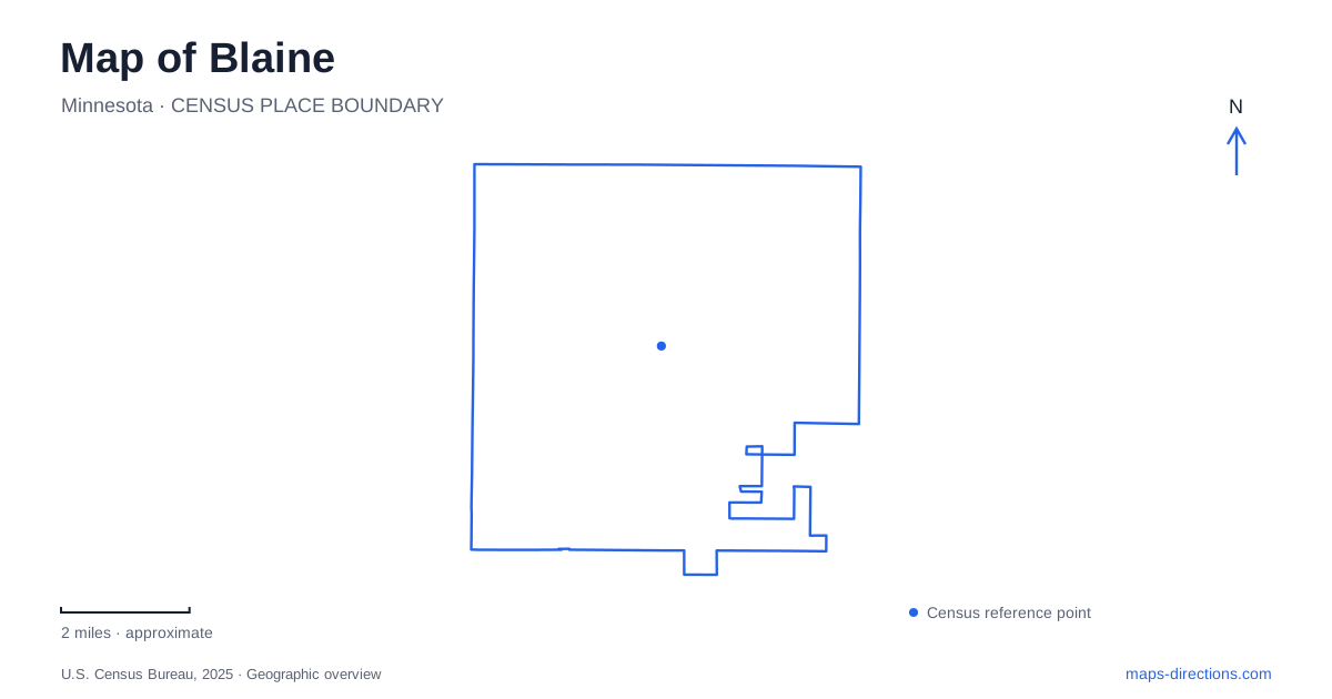
Street tiles load from OpenStreetMap when opened. The blue line shows the 2025 Census boundary.
- State
- Minnesota
- Population · July 2025
- 76,603
- Land area
- 32.9 sq mi
- Water area
- 1.1 sq mi
Blaine combines large sports grounds, an airport, residential neighborhoods, and substantial wetland preserves. Its open spaces have different origins and purposes: some contain tournament fields, some support shoreline recreation, and others protect habitats shaped by water and soil. Radisson Road, Lexington Avenue, and the numbered east-west avenues provide useful reference lines between these areas. The map becomes clearer when those roads are read alongside the distinctive spaces they serve.
Sandy ground and a later suburban pattern
The city's historical account describes sandy soils and extensive wetlands as reasons farming developed less readily here than in some surrounding communities. Growth accelerated after World War II, when new housing appeared in the southern part of town. Interstate 35W and highways 65 and 10 subsequently strengthened regional access. This background helps explain a landscape with substantial open areas alongside later suburban development.
The water-rich terrain remains visible in today's parks and preserves. It is not simply leftover land between residential streets. Wetlands, woodland, lakes, and managed recreation grounds give different parts of Blaine distinct physical character. The city's history and its modern open-space map therefore illuminate one another: conditions that once limited agriculture now form part of the community's recreational and ecological identity.
The sports campus across 105th Avenue
The National Sports Center uses 1750 105th Avenue Northeast as its main address and occupies more than six hundred acres. Its own directions make an important distinction: the principal buildings lie south of 105th Avenue, while most outdoor fields are north of the road between 105th and 109th avenues. A campus map consequently provides information that the general street address cannot convey by itself.
The complex includes the Super Rink, sports hall, stadium, seasonal field dome, and Victory Links golf course. The Super Rink contains eight ice sheets under one roof, while the field areas support another pattern of movement spread across the grounds. Radisson Road and 105th Avenue form a key approach; Airport Park sits at their southwest corner beside the campus. These named facilities are more useful than a single broad sports-center marker when comparing where an event actually takes place.
The concentration of fields and buildings gives this part of the city a regional function. It can accommodate several sports and activities in parallel, with separate entrances and parking areas reflecting that scale. Its layout is an organizing feature of the surrounding road network, not merely one recreational parcel among many small neighborhood parks.
Lexington Avenue's protected wetland corridor
The Blaine Wetland Sanctuary has its main entrance at 11980 Lexington Avenue Northeast. More than five hundred acres of wetland and upland habitat lie within the preserve. A boardwalk completed in 2017 crosses these environments from the Lexington parking area toward the paved trail connecting with East Lake Park.
The transition between wet and drier ground is part of the site's interest. Interpretive material explains changes from uplands into peatlands, habitat restoration, and the wider movement of water through connected wetlands. Management includes controlling invasive vegetation and restoring native plant communities. The boardwalk provides a defined way to experience that landscape without treating the entire preserve as an unrestricted path network. Additional trails and a nature center appear in the city's future plans, separate from the established route.
Two lakes with different recreation patterns
Lochness Park is at 11121 Lexington Avenue Northeast, with a second approach from Hupp Street. Its approximately eighty-nine acres include a twenty-acre lake, fishing pier, disc golf, and trails. Both the southern Lexington approach and the northern Hupp entrance have parking. The two-sided access helps explain how a park can serve nearby neighborhoods while retaining a larger interior landscape.
Lakeside Commons, at 3020 Lakes Parkway Northeast, emphasizes a different kind of outing. East of Radisson Road, it contains a public beach, splash pad, beach house, playground, volleyball, and picnic facilities beside Sunrise Lake. Canoes and kayaks can be carried in near the boathouse; the city notes that there is no public boat-launch ramp. Comparing these sites on a map of Blaine distinguishes a fishing-and-trail park from a beach-centered recreation destination.
Aviation within the northern metropolitan area
The airport known by code ANE is part of the Metropolitan Airports Commission's reliever system. Its two runways serve a mixture of recreational, vintage, experimental, and corporate aircraft, and its public address is 8891 Airport Road. This broad aviation landscape has a different pattern of access from the nearby parks and sports fields. Together, these land uses explain the variety visible on a map of Blaine: regional facilities occupy large sites, while lakes, protected wetlands, and local streets connect the surrounding residential community.
Map and statistics: U.S. Census Bureau, 2025 Gazetteer, January 2025 generalized place boundaries and Vintage 2025 population estimates. Local references: City of Blaine; National Sports Center; Metropolitan Airports Commission. Article prepared by Maps & Directions.