Map of Blacksburg
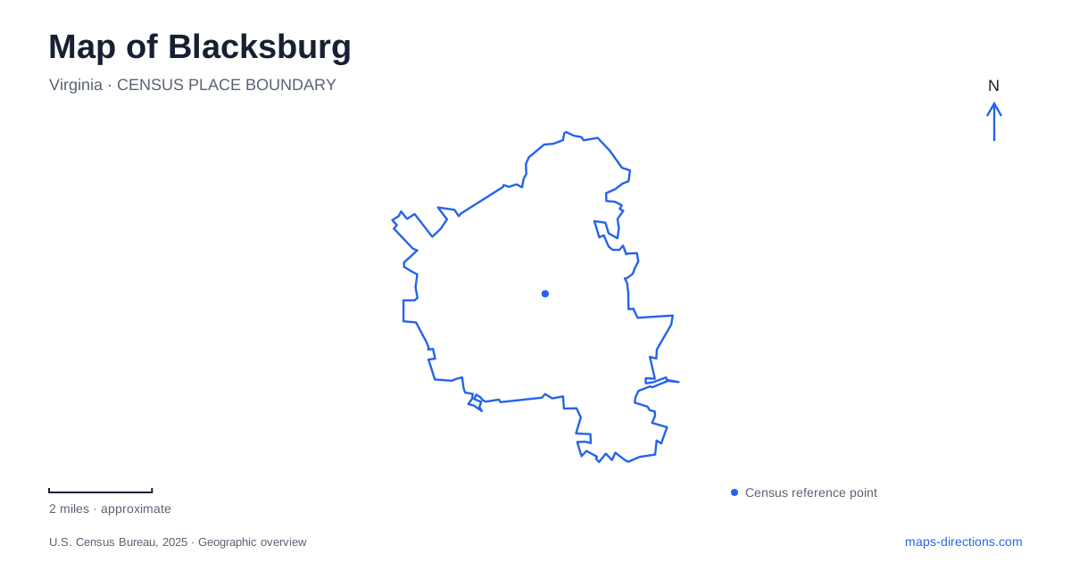
Street tiles load from OpenStreetMap when opened. The blue line shows the 2025 Census boundary.
- State
- Virginia
- Population · July 2025
- 45,104
- Land area
- 19.8 sq mi
- Water area
- 0.0 sq mi
Blacksburg contains a compact historic street grid beside a university landscape, with streams and trails linking places that can look unrelated on a road map. The original Sixteen Squares explain the shape of the early town. Draper Road connects that story with a relocated historic house, while Gilbert Street preserves evidence of New Town's African American community. On the Virginia Tech campus, the Duck Pond reveals the drainage system beneath and beyond the developed streets. These features offer several complementary ways to understand the town.
The original grid remains a useful starting point
The local museum traces the town's beginning to land inherited by William Black. He laid out sixteen blocks on 38 acres, and the town was founded in 1798. His brother John's neighboring land later became part of the university campus. This division gives historical depth to the relationship between town and campus, rather than treating the university as an unrelated destination beside downtown.
The Sixteen Squares are a street pattern, not sixteen public plazas. Their significance lies in the survival of the original organization as the town grew around it. For a walk through Blacksburg, look at the arrangement of blocks as well as individual buildings. A shop may have changed hands or a house acquired a new use, while the underlying relationship between streets remains recognizable. The grid provides continuity across those changes and helps distinguish the old town's scale from later development.
A preserved house crossed Draper Road
The Alexander Black House is now at 204 Draper Road Southwest. Its present location is the result of preservation during redevelopment: the house was moved across Draper Road when the Kent Square parking and retail project affected its former site. It was placed beside the Thomas Connor House, near the Bicentennial Greenway.
That movement is an important qualification when comparing historic photographs with a current map. The house survives as a physical building, but its address and relationship to neighboring property changed. Its location also illustrates how preservation and redevelopment have interacted in Blacksburg. The result is neither an untouched historic block nor a wholly new setting. It is a surviving structure repositioned to maintain a public connection with local history as the surrounding downtown changed.
New Town's community life on Gilbert Street
St. Luke and Odd Fellows Hall stands at 203 Gilbert Street. It served as a social and civic center for African American residents of New Town and the surrounding area. The neighborhood's history includes Gilbert Vaughan, formerly enslaved, who purchased its first plot in 1874. Fraternal organizations acquired the hall site in 1905, and the building hosted meetings, entertainment, and mutual support.
These activities gave the hall a role beyond that of a meeting room. Insurance, financial assistance, and social occasions helped sustain a community under segregation. The town restored the building in 2009, and it now presents African American history through museum interpretation.
For Blacksburg, the hall makes a neighborhood history visible even though later road construction and development transformed much of New Town. Its street address is therefore a point of entry into a wider social landscape. The surviving building should be understood alongside the households, businesses, and relationships that once surrounded it, rather than as an isolated architectural object.
Water moving through the campus
Virginia Tech's Duck Pond receives water from branches of Stroubles Creek. The pond was created in the 1930s, and its dam along Duck Pond Drive defines the western edge. Water leaving it continues through Stroubles Creek toward the New River system.
The university's account also describes stream flow carried underground beneath parts of the developed campus before emerging near West Campus Drive. This explains why the visible water does not tell the whole drainage story. A pond that appears to be a self-contained landscaped feature actually belongs to a watershed extending through the town. Reading the creek and its outlet alongside campus roads reveals another layer of connections beneath the more obvious routes between buildings.
The Huckleberry route changes the scale
The Huckleberry Trail links the town with Christiansburg. Its zero-mile reference is by the library at Miller Street, and the route continues toward destinations including the neighboring town's recreation center. Access points along the corridor include Merrimac and Hightop roads, providing alternatives to beginning at either end.
A Blacksburg outing can therefore range from a short downtown history walk to a longer regional trail journey. Those experiences use different organizing features: the Sixteen Squares supply compact blocks, the museum sites preserve particular community stories, and the trail follows a corridor beyond the old town. Decide which scale suits the visit, then select a segment that gives enough time to notice the places along it rather than treating the entire route as a single nearby attraction.
Map and statistics: U.S. Census Bureau, 2025 Gazetteer, January 2025 generalized place boundaries and Vintage 2025 population estimates. Local references: Blacksburg Museum and Cultural Foundation; Town of Blacksburg; Virginia Tech; Town of Christiansburg. Article prepared by Maps & Directions.